Good evening everyone…
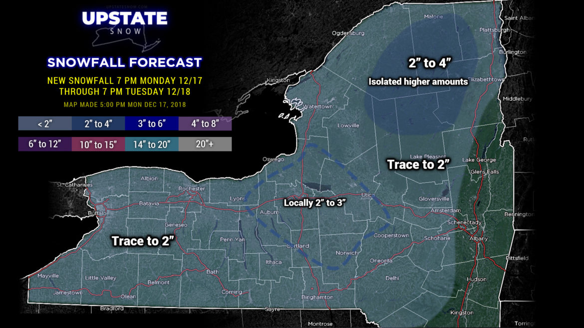
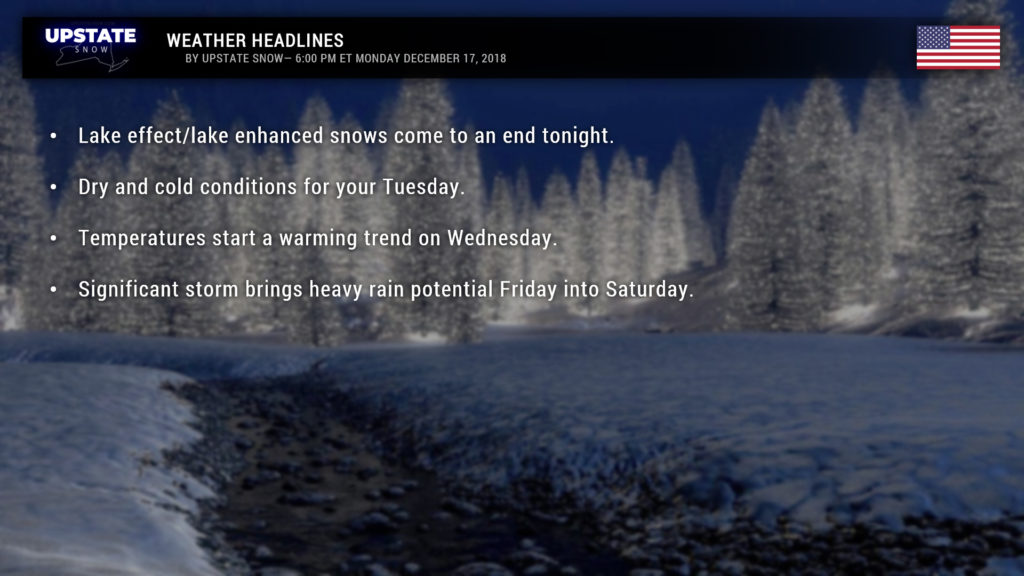
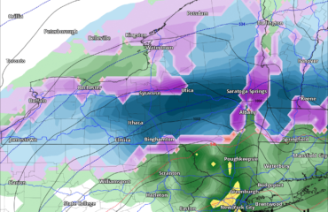
Lake effect / lake enhanced snow showers will continue into the evening hours. This will bring some light accumulations to much of the upstate. Additional accumulation won’t be a lot… generally a dusting to 2 inches just about anywhere you go (closer to the dusting, really). Some isolated areas may pick up a very fluffy 2- to 3-inch amounts before things shut down later this evening.
Some higher snow totals in the far north as we get closer to the “parent” storm system still winding up like a top in the Gulf of Maine. North-northwest flow hitting the mountains — upsloping = enhanced snowfall, but the totals should be in the 2-4 range… maybe an isolated higher total.
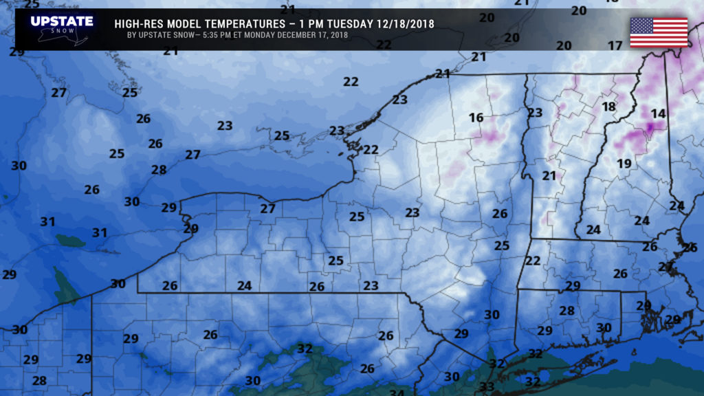
Very cold Arctic air will continue to pour over the area tonight and Tuesday. South of the Thruway we’ll see temperatures in the upper teens to lower 20s when you wake up tomorrow morning… with readings generally 10-15 (some isolated single digits in the highest elevations) in the North Country. It won’t really go up a whole lot during the day; high-res modeling shows highs in the teens in the Adirondacks, lower to middle 20s elsewhere, with 30s appearing in the lower Hudson valley.
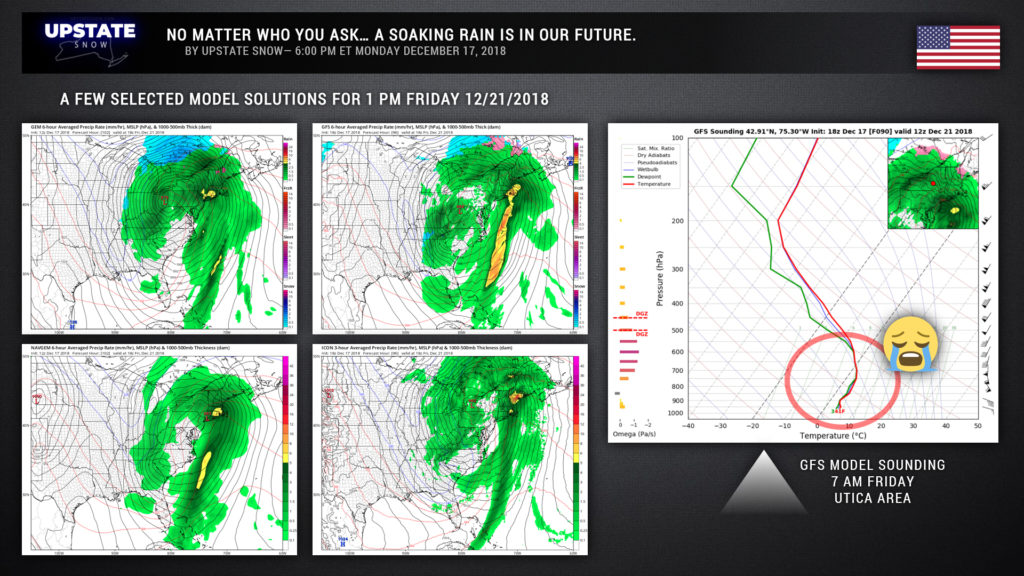
A marked warmup begins on Wednesday as a southerly flow develops at the surface and aloft ahead of what is going to be a very significant storm by the end of the week. The modeling is in pretty decent agreement on this, even 4-5 days out. Warmer and progressively more humid air will rocket up the east coast Thursday into Friday. Overrunning precipitation breaks out Thursday night with widespread rain, continuing into Friday. And it’s looking more and more like a heavy rain… while it’s too soon to pin down exact details, areas east and south of a line roughly from Binghamton through Utica through Plattsburgh look to get the heaviest amounts… but that’s just a guesstimate at this junction.
As you can see here, no matter how you slice-and-dice it, this is as close to “certainty” as it gets in meteorology.
There is some indication of a dry slot forming… which adds a level of intrigue to our story. If the dry slot develops, and there are some breaks in the cloudiness, temperatures will fly, fly, fly much warmer than currently projected (40s and 50s). Could also set the stage for some thunder… !
The low will move north of us by Friday night. Eventually that will wrap in cooler (but not “cold”) air as we go into the weekend. There will be lots of wraparound moisture in this thing and as the cooler air filters in, some of this could fall in the form of snow. The timing of any changeover–it’s way too early to even worry about that, and honestly, it’s more likely we get lake effect rain showers than snow initially. It’s probably going to get quite windy as well Saturday night into Sunday as a sharp pressure gradient develops behind our departing low. Modeling shows a changeover to snow showers across most of the Upstate Saturday night into Sunday.
The question-marks really jump up all over the place as we look at day 7 and beyond. A couple models want to bring another (colder but much weaker) storm system across the area Christmas Eve and Christmas Day, while others say naah.
That’s it for tonight, thanks for supporting our site. We reached our 10,000th “like” on Facebook earlier today—thank you SO MUCH for your continued support!

