Good evening…
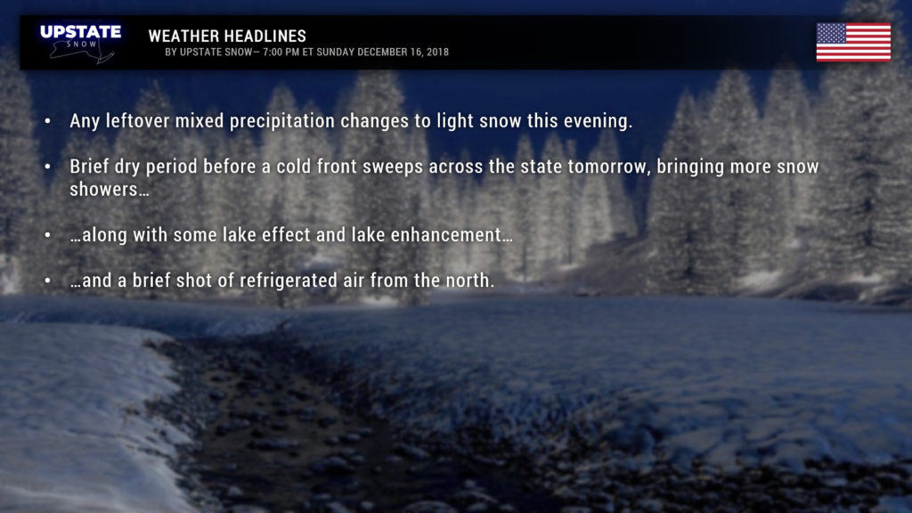
Ok our earlier post on FB talked about the longer term … not nice stuff. This will detail what’s coming in the next couple of days, which is a brief rush of colder air, snow showers, and some lake effect.
So today we’ve had areas of rain, freezing rain, and snow across portions of the Upstate. Our storm system is in the process of moving northeast off the Jersey coast; an easterly flow is responsible for this mess. By early tomorrow morning this low is in the Gulf of Maine and a cold “front” will have moved through. A second, much stronger cold front will move through from northwest to southeast, crossing CNY around lunchtime. Colder air flows into the region and snow showers are expected. Now there’s not going to be an awful lot of snow with this because it looks like the moisture layer is pretty shallow, but as the air gets colder and colder we could see an increase in the snow coverage and intensity.
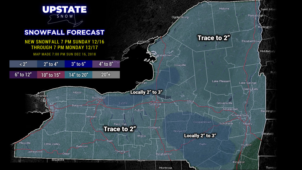
Our snow map, which goes through 7 PM Monday, shows a bit of enhancement southeast of Lake Ontario, as well as in the higher terrain of the Susquehanna region and Catskills. It won’t be the entire region getting the 2-4 snowfall, but if you happen to be under the right snow shower at just the right time with just the right wind direction, yeah, a couple-three inches of snow by tomorrow evening is a possibility.
As we get into Monday night though, the winds start to veer and our flow will have less “lake” to work with. A big blue high pressure dome will slide from Minnesota-Missouri eastward late Monday night to western Pennsylvania by Tuesday evening. This will bring very dry air into the Upstate, and essentially choke out the LES by Tuesday. Might pick up another couple of inches of very fluffy, dry snow before we’re all done Tuesday afternoon.
A nice bit of cold air will drop across the state beginning Monday afternoon. Temperatures will fall behind our cold front, so highs will be realized early in the morning. By time we’re getting up for work and school on Tuesday, temperatures will be in the lower 20s just about everywhere, with lower to middle teens in the Adirondacks. They’re not going to go up a whole lot during the day Tuesday.. in fact some of the modeling has them holding steady or dropping a bit as we go through the day.
But if you read the entry we posted on Facebook, we know how this ends this coming week… so if anything this shot of cold and lake snows is more cruelty than anything else.
That’s it for tonight, take care and thanks for your support!


