Good evening!
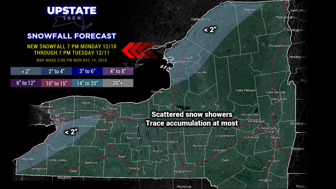
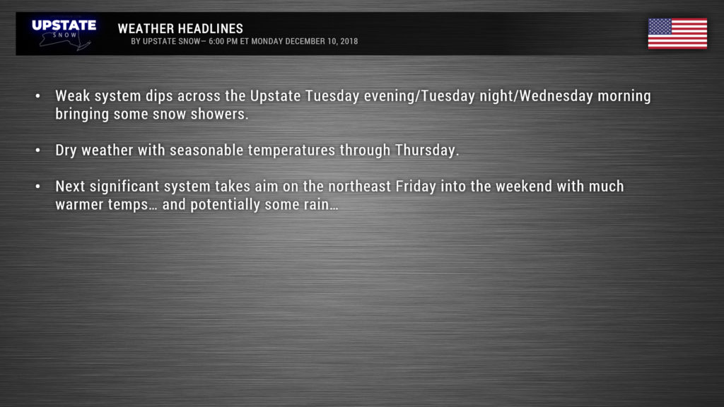
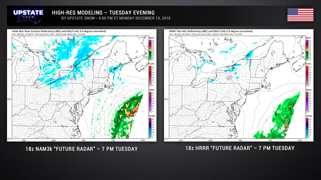
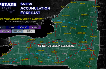
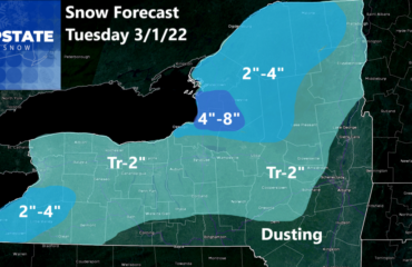
Not much to talk about. A weak disturbance will drop across the Upstate Tuesday evening into early Wednesday bringing some snow showers. The NAM3k model wants to have a little lake enhancement, especially off Lake Erie, but there’s not going to be much moisture. We did paint a couple of areas where snow may accumulate up to about 2 inches by Tuesday evening, maybe another inch or two overnight Tuesday night, but by-and-large there’s not going to be an awful lot to get excited about.
We will continue to have seasonably cold air through a good portion of the week. We’ll be looking at highs around 30 Tuesday-Thursday, with lows in the teens, more-or-less statewide.
We’re still looking at a big storm system for the weekend. Unfortunately it’s looking more and more likely to be a soaking rainmaker. Confidence is increasing because our models are finally starting to get… well perhaps not on the same page, but we’re in the same textbook. Low pressure moves northeast from the lower Mississippi Valley into the northeast US. Warm, moist air of Gulf origin will rocket up the east coast on Friday… with rain Friday night through Saturday. Now here’s where the models go wonky on us. The European takes the center of low pressure to our south and east… the GFS brings it right up through central New York… and a quick glimpse of the Canadian takes the low to our west. So which one? Right now I’m inclined to just sort of “average” the three together and draw a line up the middle, which pretty much follows the GFS storm track. In this case the storm center would move from central Mississippi essentially up the Appalachians, across CNY into northern New England.
The GFS and Canadian solutions mean our storm system “phases” (merges with) with the northern jet stream. They point to a rainy weekend for the Upstate. The Euro’s solution is notable in that it does not phase it with the jet, meaning it MIGHT stay just far enough to our south to keep us from getting an awful lot of rain… we’ll still have warmer-than-normal temperatures. I still think that even with the Euro solution the Catskills and portions of south-central NY get some rain out of it.
We probably won’t see colder air filter back into the region until next Monday.
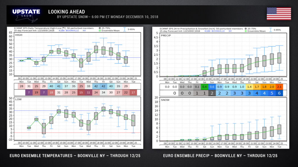
Taking a look at the longer-range European ensemble spreads for temperatures and snowfall for Boonville (picked simply because of “central” location), we see a return to snow and cold as we approach Christmas…?
Have a good evening, thanks for supporting us!

