Good evening…
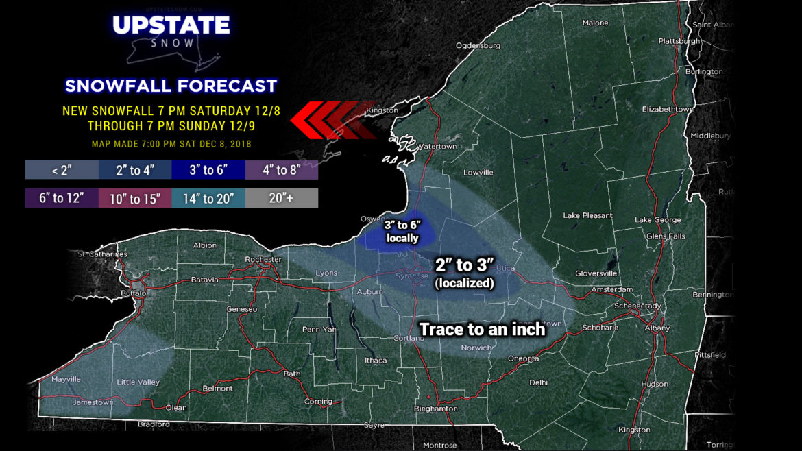
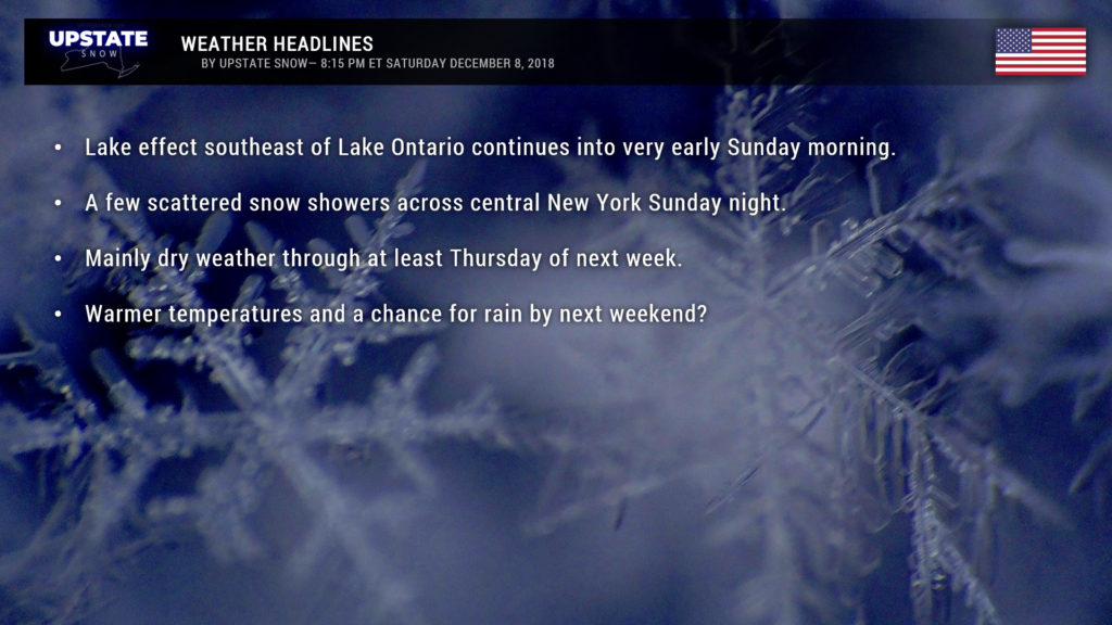
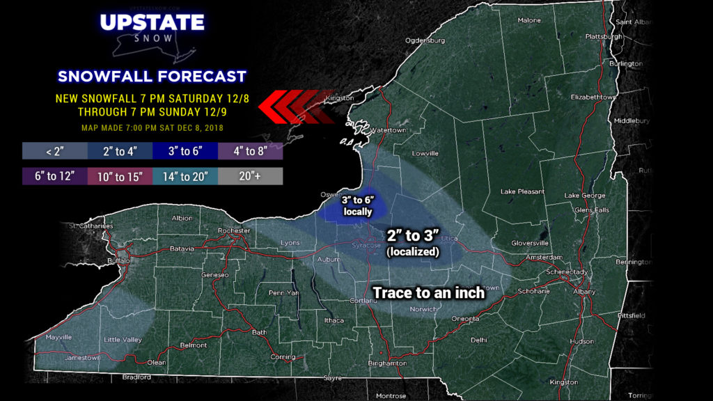
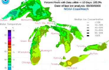
A steady west-northwest wind over Lake Ontario will keep some lake effect snows going over portions of Oswego, Onondaga, Madison and Oneida counties through early Sunday morning. The main areas impacted by this will be from Fulton to Pulaski where some 3- to 6-inch amounts could fall. Elsewhere, 2-3 inches possible in some areas from Syracuse to Utica… not everyone is going to see these amounts, going to be hit-or-miss. Outside of that, very little if any new snow can be expected through Sunday.
This will essentially “shut off” for Sunday as a massive storm system rocks the Carolinas and moves off the coast.
A little weak frontal boundary will drop down across the state from west-to-east during the overnight Sunday night… this will bring a few snow showers to the area and maybe a brief period of some lake enhancement east of Lake Ontario, but nothing of real significance. The front will dissipate during the day Monday.
After that we’re going to have unseasonably quiet weather over the northeast. We are entering what is typically the peak of lake effect season… but this week we’ll be hard pressed to find anything.
Our next system approaches from the Ohio Valley next weekend. But models are all over the place with it — it’s days 6 and 7+ so yeah, that’s understandable. In a typical scenario, a push of very warm and moist air would develop ahead of this sytem, with moisture of Gulf origin entering the area. Prior experience (and two similar systems already this season) says a low center moves to our west and then up the St. Lawrence, with warm air and mostly rain ahead of the system, and a cold front dragging through on the back side. This is all so far out in time though (again, day 7 and beyond) that we’re just speaking in generalities right now.
That’s it for tonight gang, sorry it’s such a brief report. Have a good Sunday and thanks for your support!

