Good evening!
Well we gave you the bad news in this morning’s bonus post (see “Step Away from the Cliff”). Tonight’s update will focus on the relatively near term, getting us through the work week, and then a few comments about riding conditions.
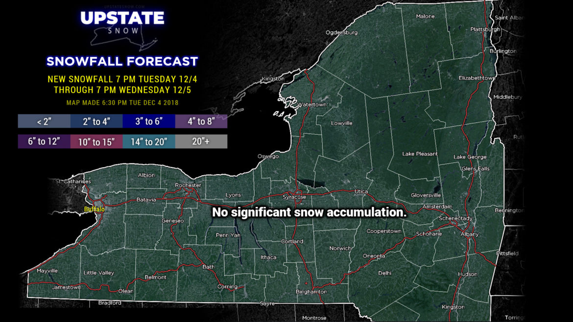
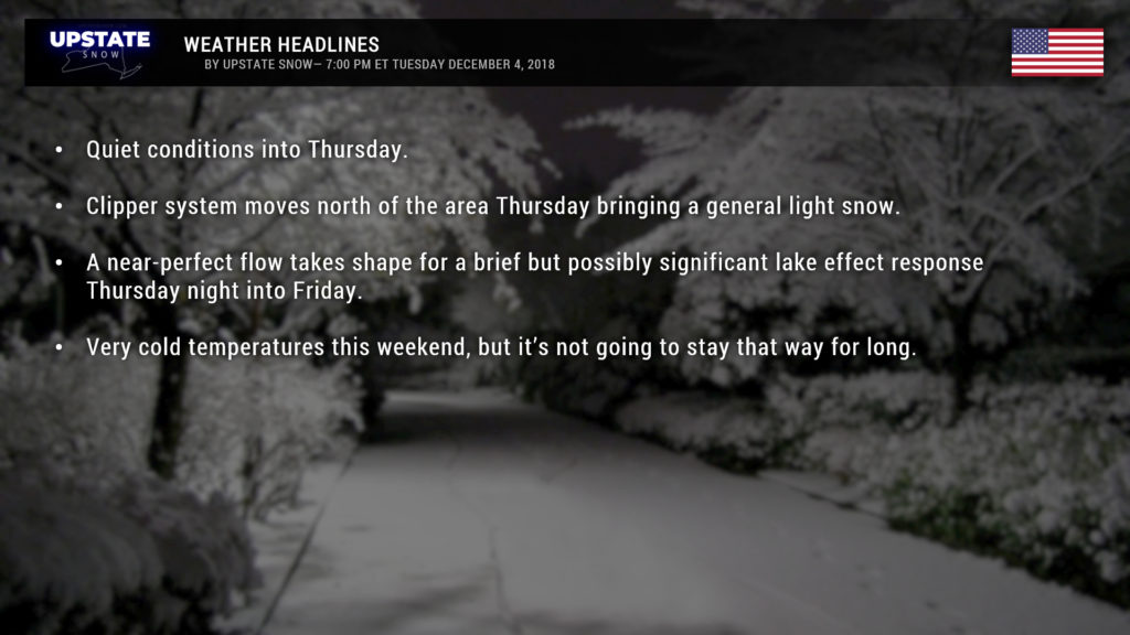
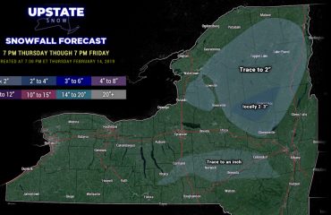
There’s not an awful lot to talk about weather-wise until we get to Thursday. A clipper system will move off to our north and drag a couple of cold fronts across the state. This will bring a generalized light snowfall to much of the Upstate, 1-3 inches on the whole. Behind this, the setup looks really nice for a brief but energetic lake effect event Thursday night into Friday. Significant snow accumulations are possible on the Tug and Chautauqua Ridge during this time.
But until then….
Cold air is reinforced on Friday into the weekend. The coldest looks to be early Saturday… modeling shows minimum temps below zero for the Adirondacks, 0 to 10 above for most of the North Country, 0 to 10 above also for the Susquehanna region, Catskills, and higher terrain of Cortland, Onondaga, Madison, and Chenango counties.
But… as we said this morning… that’s not going to last all that long as the wholescale pattern change begins next week.
As for riding, cold temps are starting to freeze things back down in Adirondacks and North Country, those areas that just opened to riding. Check with clubs if you want to go. Expect marginal to fair conditions in areas open to riding. STAY OFF LAKES! THIN ICE!
Outlook for riding: There will be opportunities for riding Snodeo weekend in Old Forge. Town of Webb trails and Moose River Plains will be your best bets. Remember a lot of this is Town of Webb permit areas…
In addition, any areas of Tug Hill that are open may have some riding, especially seasonal roads. Double check with clubs there as to what is open and when. We recommend STH (Southern Tug Hill Riders).
Ok gang, that’s it for tonight! Take care, and thanks for supporting us!

