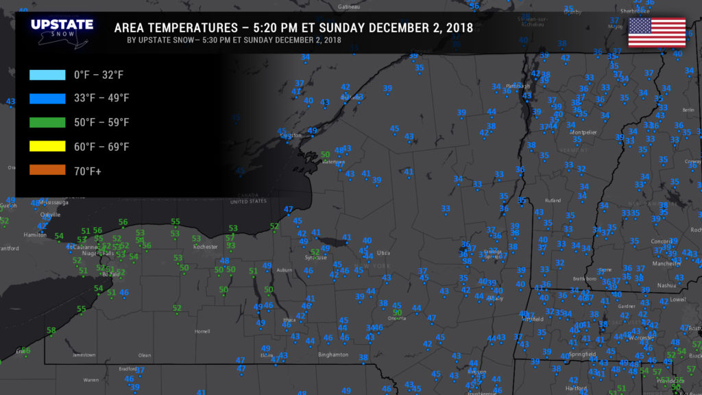
“Good” evening! Ugh. Put the word “good” in quotes, because from a snow-lover standpoint, it has not been a good weekend at all. Temperatures continue well above freezing everywhere across the state as of 5:20 PM this afternoon.
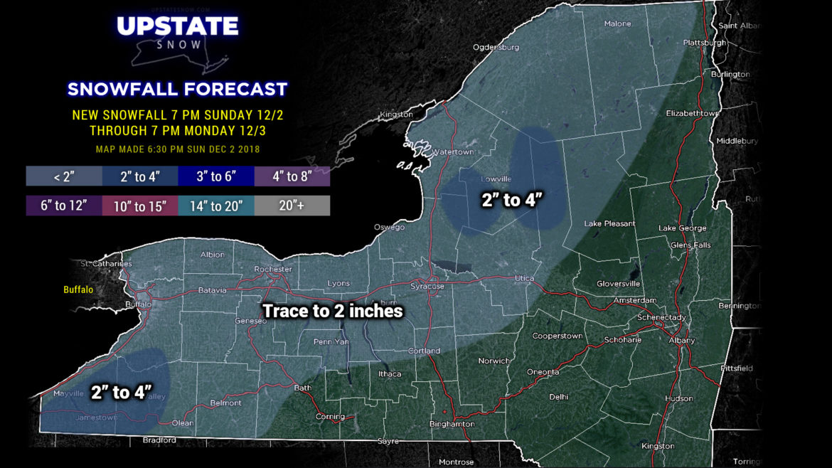
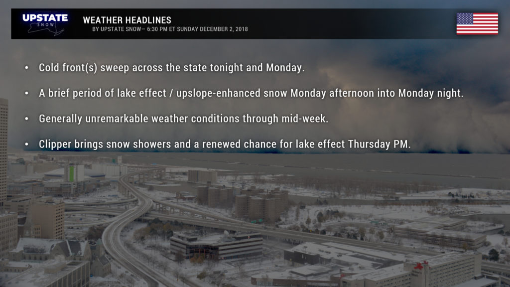
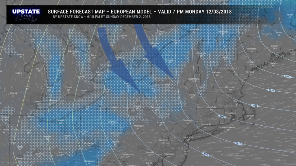
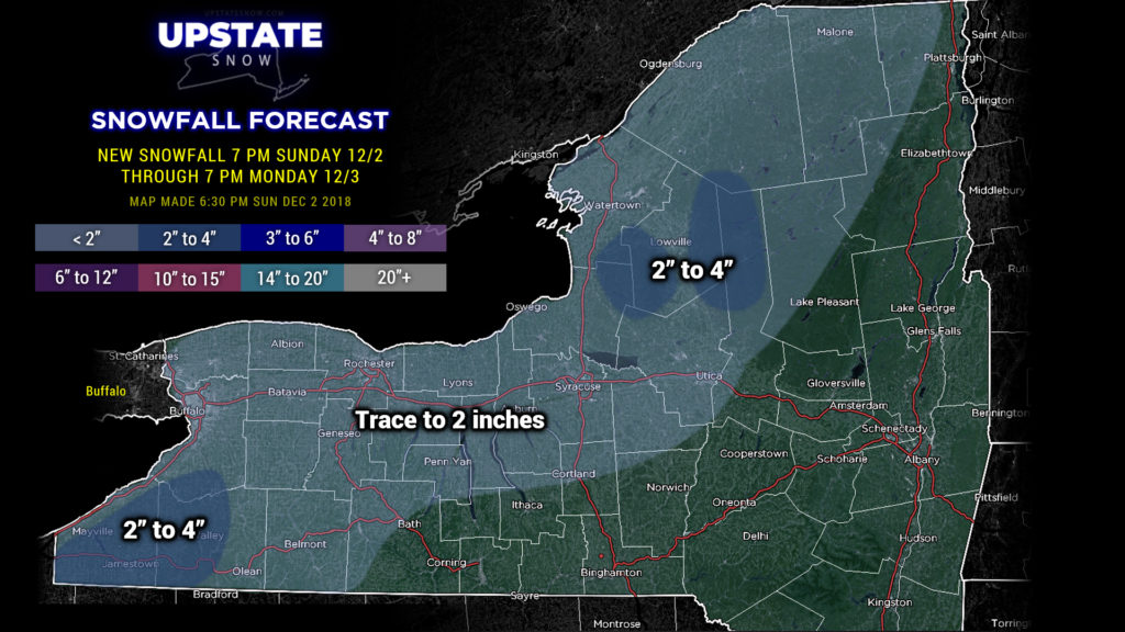
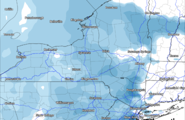
Two cold fronts will push through the state — one late tonight, and then another one on its heels on Monday. Expect rain showers to accompany these. Colder air will push across the state from west to east during the day Monday… temperatures will fall throughout the day and rain showers change to snow. A large area of strong high pressure over South Dakota tomorrow evening, combined with residual moisture from our storm system and a steady north-northwest flow, means a period of lake effect snows (well, if you want to get technical about it, call it “lake-enhanced upsloping”) Monday afternoon into Monday night, with several inches of accumulation expected in the typical spots. This isn’t going to last for long though, much drier air pushes down from the north and we’re left with just scattered snow showers — nothing of significance after Monday evening.
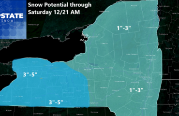
A little clipper system swings across the area Wednesday night and Thursday bringing some light general snows… with a lake effect response to the cold front later Thursday into Thursday night. Unfortunately the atmosphere looks pretty dry, even with this system, and accumulations probably aren’t going to be anything to get excited about.
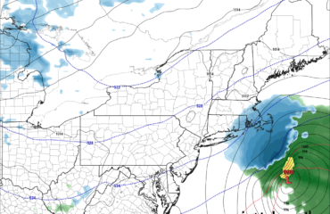
Where there were rumblings of a coastal storm for next weekend; the latest modeling pushes a southern-stream system off the mid-Atlantic coast. Unfortunately strong high pressure to our north keeps this storm system suppressed to our south.
On the flip side, though, we remain cold throughout the week.
Now… some thoughts about the snow and riding…
Simply… we got our butts kicked. At first with the colder trend and the mix to start helped out, but the surge from the south, especially with 1-2 inches of rain, ripened the snow significantly and released a lot of water. All rivers and streams are high and running. Lakes and smaller ponds that did have some ice in them now have tons of water on top. A few have opened back up. There is water water everywhere. Up high, down low, in fields, in the woods.
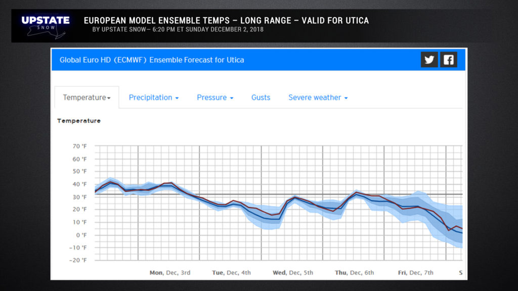
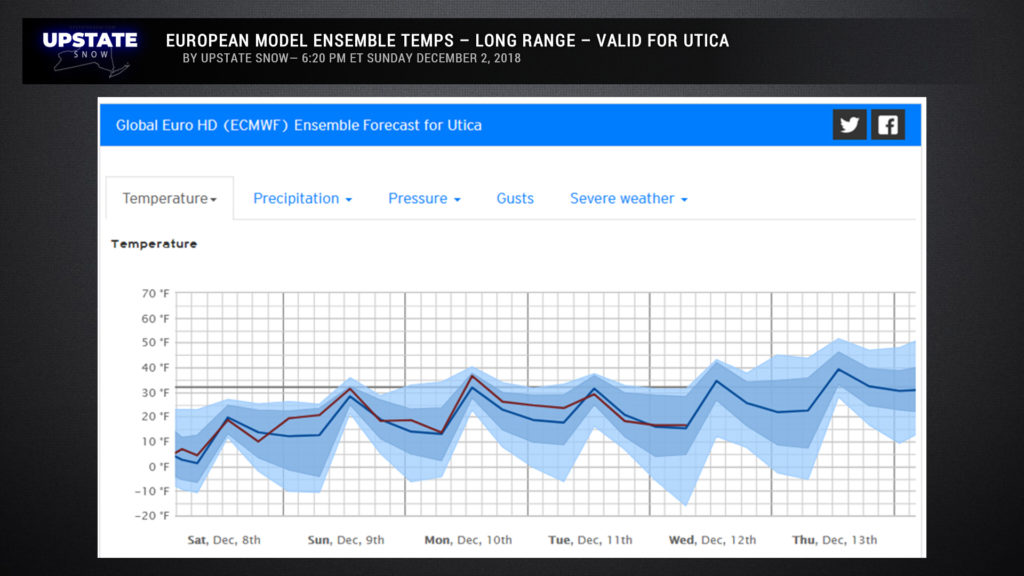
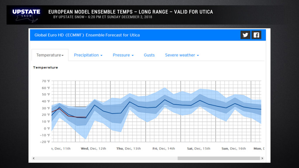
The only thing that will solve this is cold… and a lot of it. By cold we mean lows in the single digits to low teens for several days to stop the water and set up the trails for the long haul this winter… where snow cover is left.
Unfortunately, European ensemble models poiint to cold in the short term… but the middle of December looks kind of murky. These values are for Utica (picked because of central location): A caveat… anything after 7-10 days should be taken with a big grain of salt.
In terms of riding prospects, our team did some reconnaissance and found out this: Tug Hill Proper, Old Forge area and the Adirondack park, mainly Hamilton County, are your best and probably only bets once the season “officially” starts IN THOSE ZONES where hunting season ends at sundown tomorrow (Monday 12/3). Trails connecting the Tug to the Dacks will likely be impassable to start.
As always, it is YOUR RESPONSIBILITY to check with clubs where you want to ride to confirm they will will be open and safe to ride. Remember northern zone (see DEC maps) and beware some parts of northern zone won’t be open until special muzzleloader season ends later in the month. Again, check clubs where you want to ride for details.
Ok gang, that’s it for tonight. Have a good one, and thanks for your support.

