Good evening!
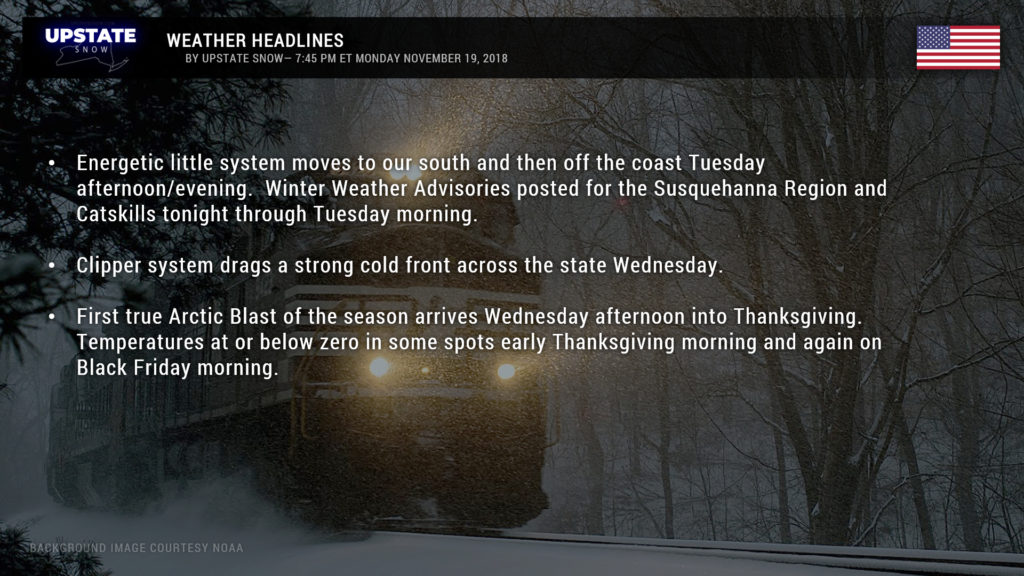
Tonight through Wednesday we will be in a somewhat active period… a bit more snow than originally thought for the Southern Tier and Catskills tonight into Tuesday… and the first true Arctic blast that will send temperatures into record low territory Wednesday night and Thanksgiving night. Maybe even record-low-highs for Thanksgiving Day.
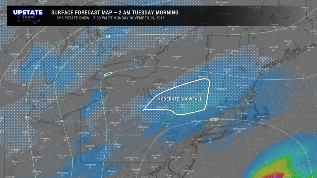
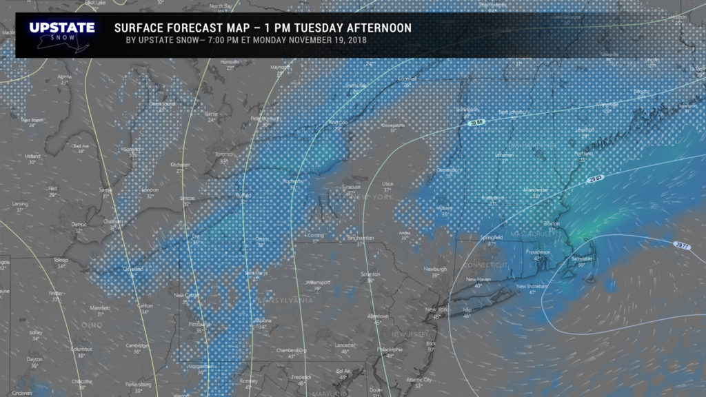
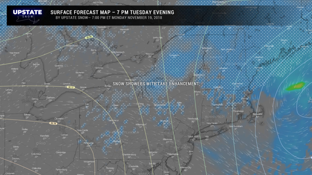
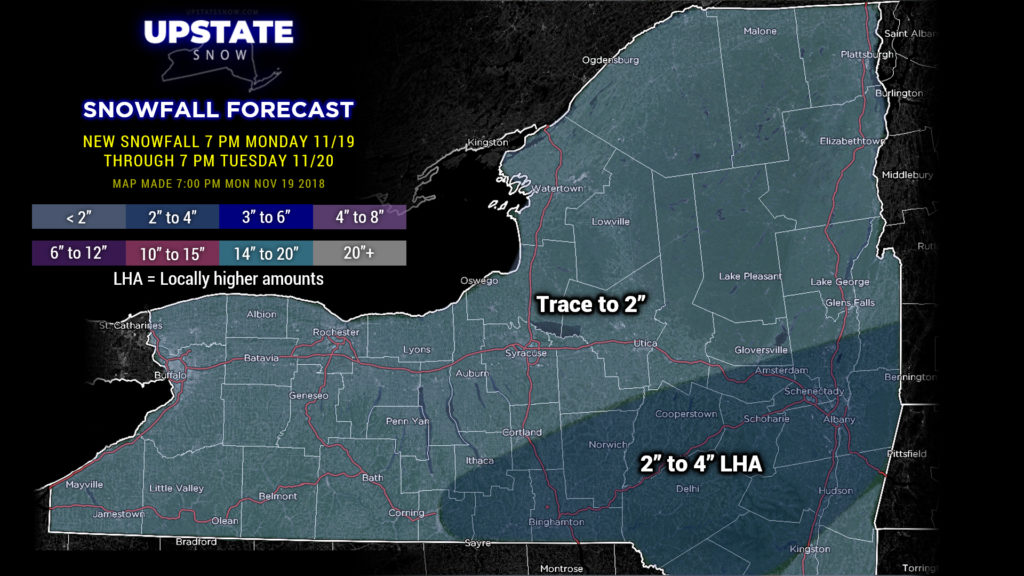
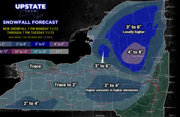
Ok so let’s break it down. For tonight though Tuesday, an area of low pressure will scoot to our south and then off the coast. This is actually going to be fairly more caffeinated and energetic than we originally thought. The modeling suggests that the snows will be south of the Thruway through the overnight and into Tuesday morning, and the highest amounts concentrated across the Susquehanna Region and Catskills. Accordingly, NWS has posted Winter Weather Advisories for this area. For the rest of the day Tuesday, lake-enhanced “instability” snow showers will dot the landscape over much of the state… but don’t expect more than a trace to perhaps an inch of additional powder.
Our snow map reflects this latest thought pattern. There may be an isolated 5-inch amount here or there, especially in the higher terrain — west- or south-facing slopes in the Catskills.
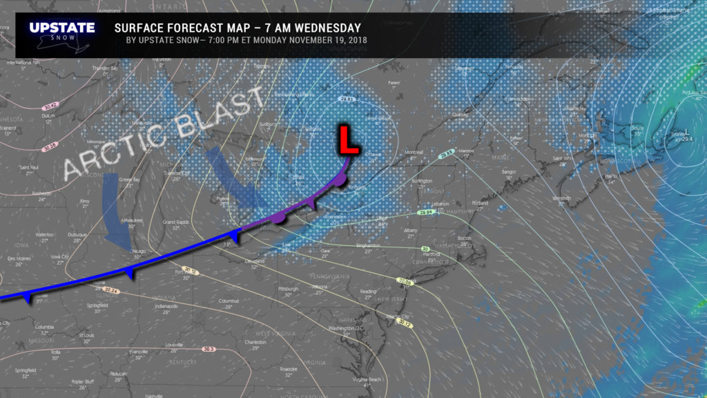
Then our attention turns to a Clipper that will move off to our north. The system itself is remarkably unremarkable, but it will drag a cold front across the state Wednesday and the Arctic fans will be on full-blast. Now as this front moves through, we could see a burst of intense snow squalls… almost resembling how we get strong thunderstorms in the summer along frontal boundaries. Anyway, these snow squalls could lead to whiteout conditions and really difficult travel on one of the busiest travel days of the year.
Our highs Wednesday will come fairly early in the day for central, western, and northern NY. Temperatures across the western part of the state, the Tug, and the western Adirondacks will tumble during the afternoon… with temps falling later in the day the farther east and south you go.
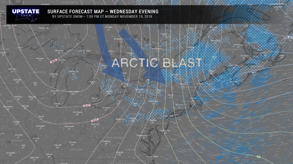
Lake effect snows become established Wednesday afternoon into Wednesday evening. Winds will be veering though, so it’s almost going to be like a windshield-wiper effect with the snow bands. Because of this, amounts over any one particular area won’t be all that impressive, but the usual locations like the Tug may get several inches of new cover.
Record lows are probable early Thanksgiving morning, with lows a few degrees either side of zero. Many areas won’t get out of the teens on Thanksgiving day.
But… a reminder that it’s still VERY EARLY in the season as the mid-January-ish temperatures won’t stick around long. By Friday afternoon most of the state is in the mid 30s… and over the weekend a southwesterly flow of warm and moist air will become established. Rain or mixed precipitation developing from southwest to northeast will quickly turn to rain on Saturday with temps going into the 40s… and our opinion on that is……. 


