Good evening everyone….
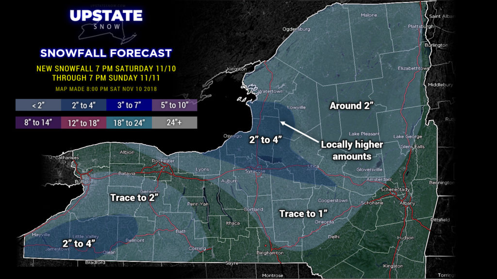
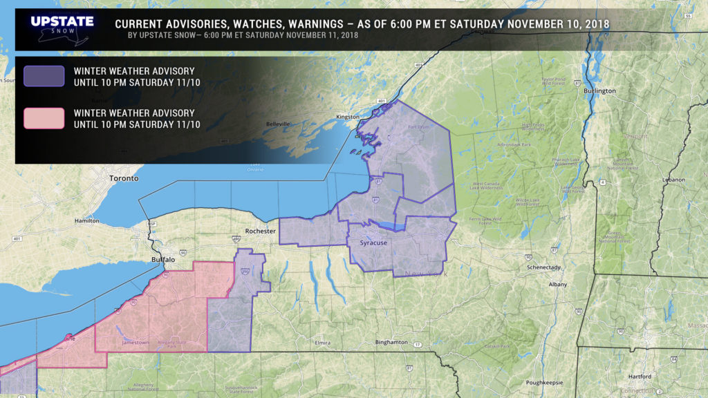
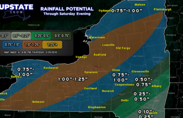
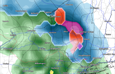
A few more hours of good lake effect before it winds down for the time being. Advisories are still posted off of Lake Ontario. In between creating the graphic and writing this text, the LES advisories and warnings south of Buffalo have been canceled… because of course they were. Snows are winding down, and the snowfall map may be a bit “generous” in spots, especially off of Lake Erie (and in thinking about it, again between drawing up the map and typing this report, the 2-4 for Jamestown, Little Valley, etc., expect closer to the 2, if that).
Not shown on the map above — a Wind Advisory is up now for most of eastern NY through late this evening.
——————————————
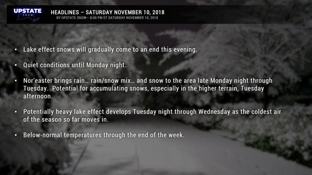
So what’s next? Well, the week ahead will feature a Nor’easter, cold air, and more lake effect snow. How’s that?
Low pressure will move up the east coast and bring a large shield of precip to the Upstate late Monday night through Tuesday. Initially this will be rain… or maybe a rain/snow mix for some areas, but will transition to all snow as an upper low digs across the Great Lakes and up the St. Lawrence, bringing in colder air. Models show the nor’easter bombing as it moves along the Jersey coast. This is great stuff… but lets temper our enthusiasm just a bit. It’s too early to really call who will get snow when… and how much… we would like to see some better agreement in the models before even attempting to hammer that down, especially so early in the season.
It’s reasonable to expect that some areas, especially higher terrain, could see a fairly decent “shovelable” snowfall later on Tuesday.
Then the cold air REALLY blasts across the Upstate Tuesday night into Wednesday, with a near-perfect setup for potentially significant lake effect snowfall Tuesday night through Wednesday. As of right now (Saturday evening) the coldest air of the season looks to plow into our area on howling west-northwest winds. Lake water temperatures still in the 40s… with air temperatures absolutely tumbling as one climbs to 5,000 and 10,000 feet… means all kinds of instability downwind of the lakes. A connection with Lake Huron also looks quite probable. ALL of this spells heavy lake effect snows. We’ll be hammering out these details as well in the coming days.
Temperatures should remain below normal for the remainder of the week, even as the lake snows come to an end. Another system could bring more snow showers by the end of next week, but we’ll worry about that… later.


