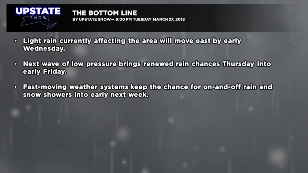
Good evening… An area of light rain, possibly mixed with freezing rain or snow, continues to move west to east across the state as this report is being written. There’s more light rain off to our west, in northern Ohio, which may skirt the southern tier overnight.
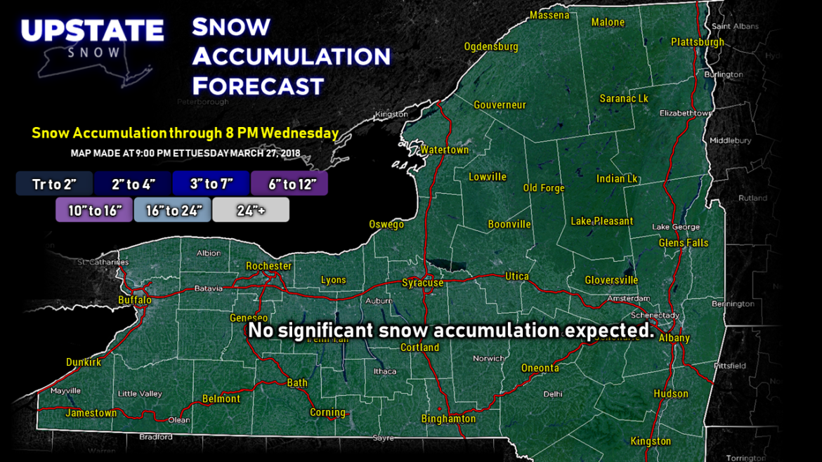
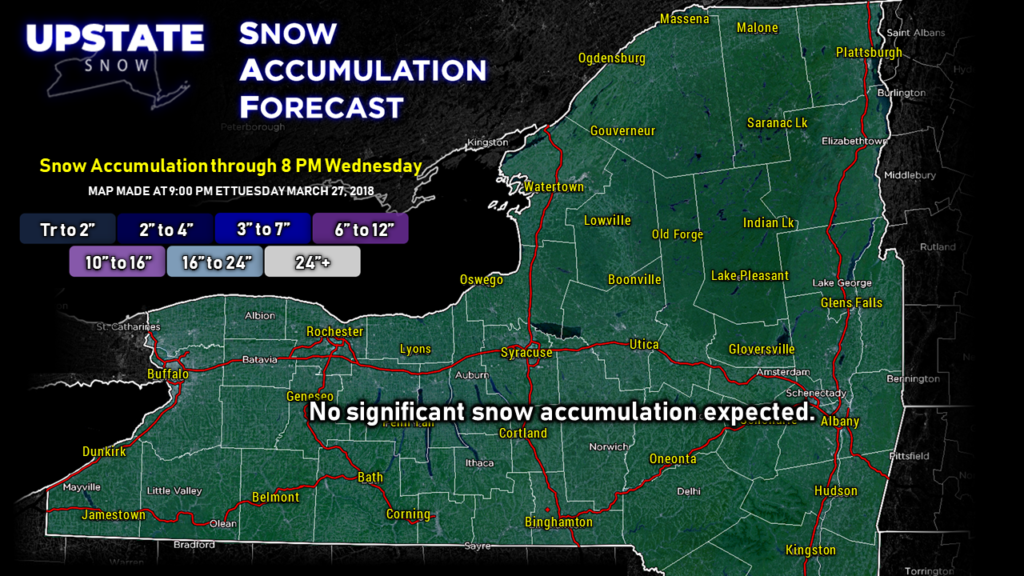
No real snow accumulation of note over the next 24 hours. There may be a light coating in the higher terrain of the North Country but nothing of significance.
We’ll be “in between” systems Wednesday into Wednesday night, with dry conditions, before the next area of low pressure moves along the stalled frontal boundary… bringing more rain to the area Thursday into Thursday night.
This all pushes east and we should dry out into the Easter weekend, but we’ll be in a pattern that brings quick-moving weather systems through the area with the chances for on-and-off light rain or snow into next week.
No zone graphics tonight since we’re running late with this report. On the whole, high temperatures Wednesday through Friday will be in the 40s, maybe lower 50s, with low temperatures in the 30s. Chance of rain through Wednesday morning, then again Thursday into early Friday.
The inevitable is occurring and the season is coming to a rapid end. 🙁

