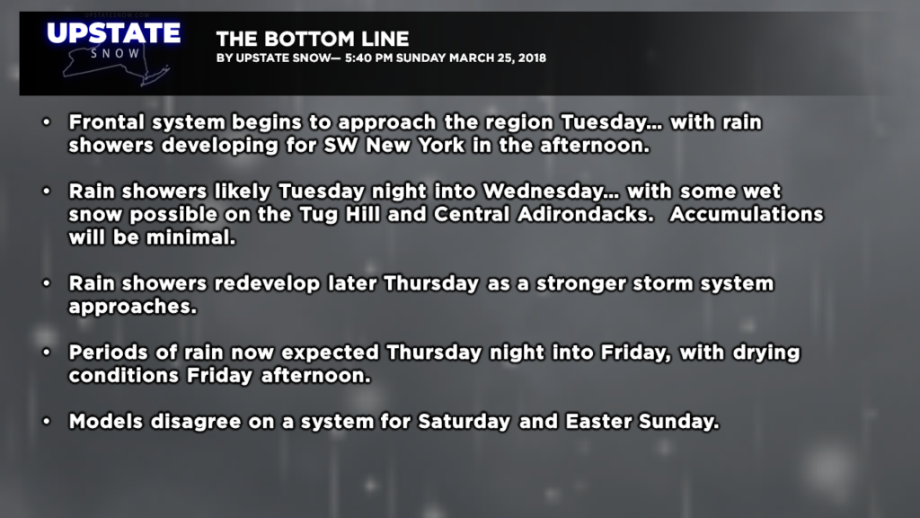
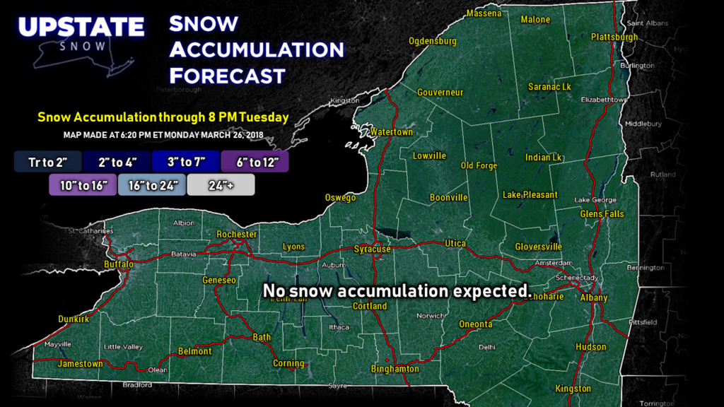
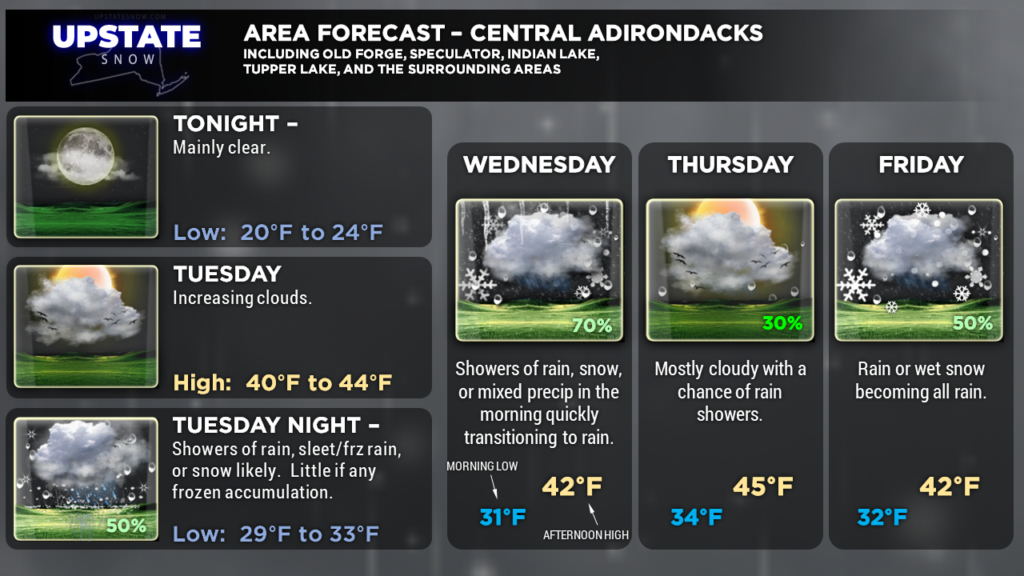
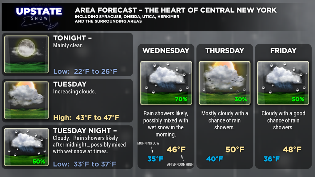
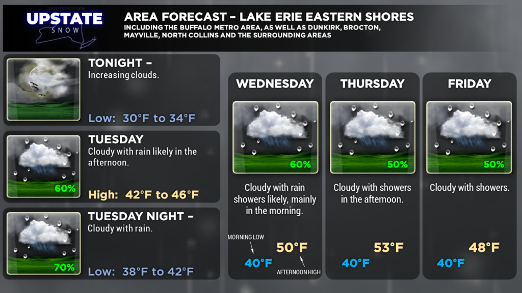
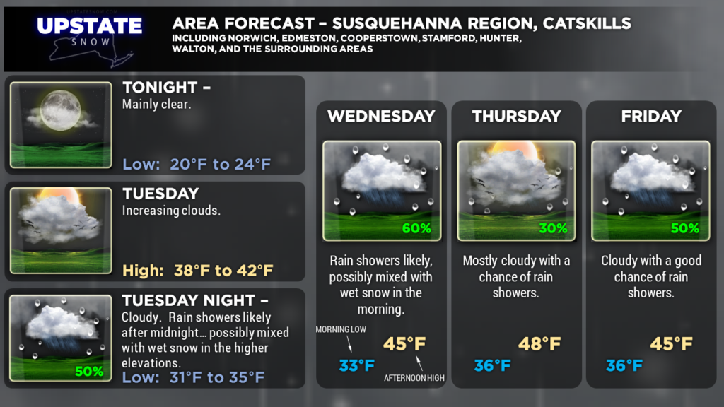
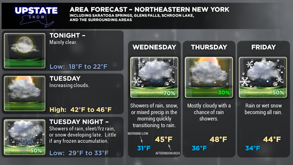
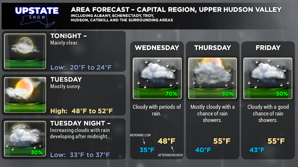
Good evening everyone… Our run of dry weather will come to an end Tuesday into Tuesday night… with a frontal system approaching the area. Rain will develop from southwest to northeast Tuesday afternoon. Most of the precip will hold off across CNY until Tuesday night. North of the Valley we may be seeing periods of rain, sleet/freezing rain, snow, or “all of the above” on Tuesday night… but frozen precip accumulation won’t amount to much. Everything transitions to rain Wednesday.
We’ll be in a “holding pattern” Thursday, but today models are advancing things a little bit quicker with a stronger storm system impacting the area Friday. At this time it’s looking like a mostly rain event… once again some mixed rain and wet snow is possible north of the Valley early Friday morning, but we transition to rain fairly quickly. Snow accumulation will be minimal. The cold front will move through later Friday and we’ll see cooling temperatures Friday night into Saturday… but drier air will start to funnel in behind the front, and any “backside snow” will be very limited.
For the Easter weekend, a more zonal flow sets up and we see cooler temperatures… with the chances for some scattered rain and wet snow showers as we turn the calendar into April. The next weather system approaches early next week.
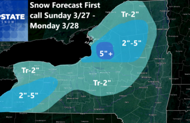
Here are your graphics for tonight. Thanks for viewing our site… and show some love to our sponsors!


