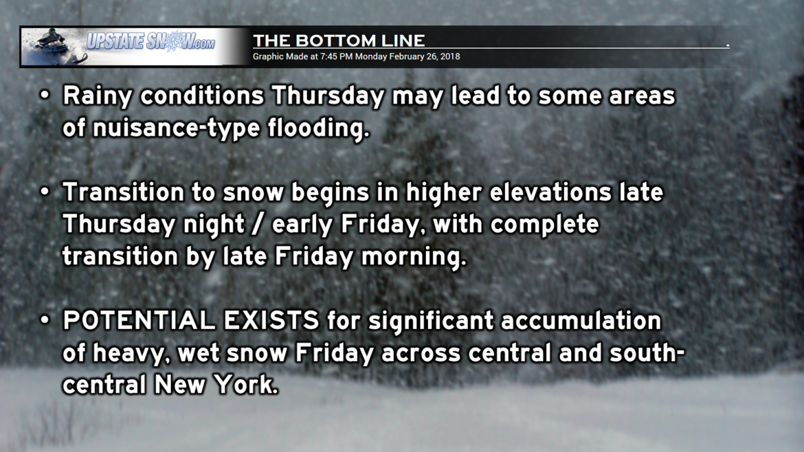
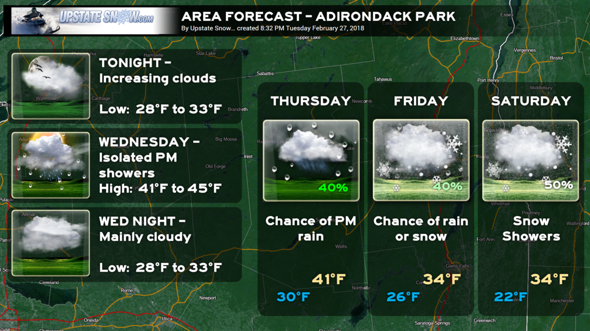
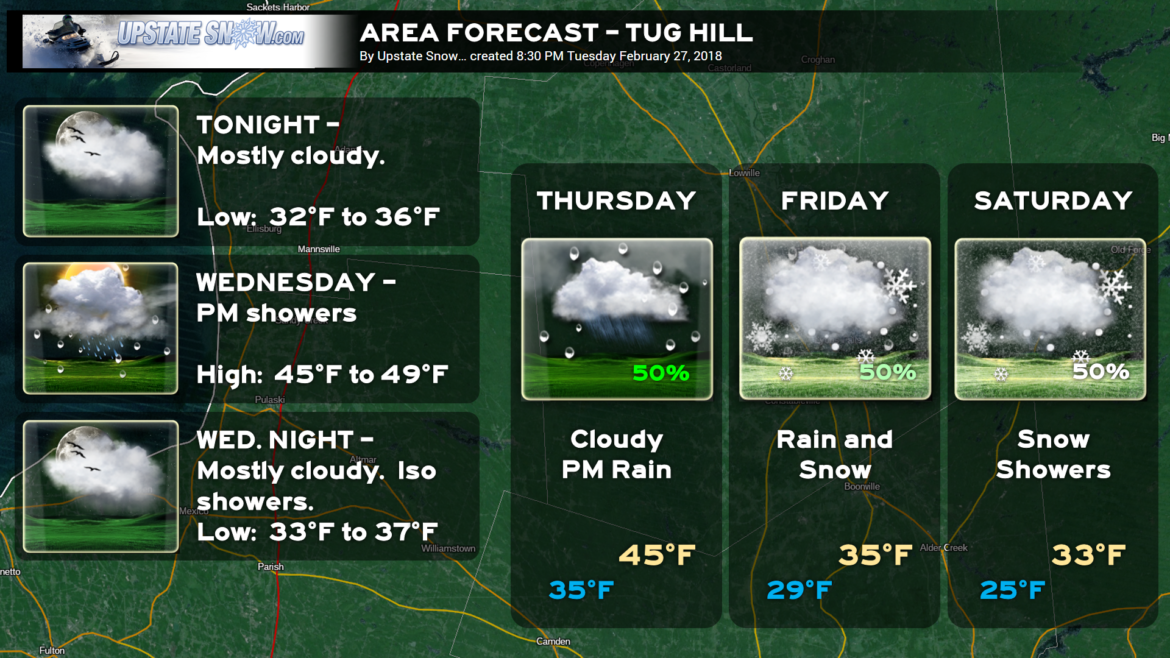
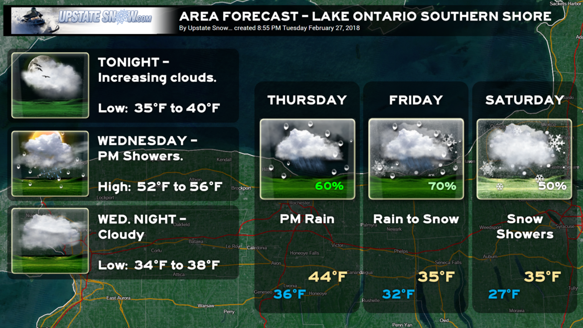
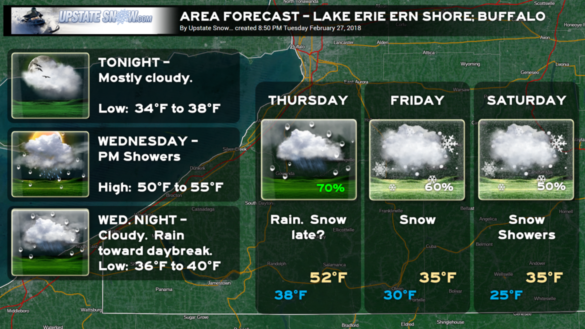
Ok gang, the confidence is starting to increase for a POSSIBLY SIGNIFICANT accumulating snowfall for Friday afternoon across central and south-central New York, mainly south of the Thruway.
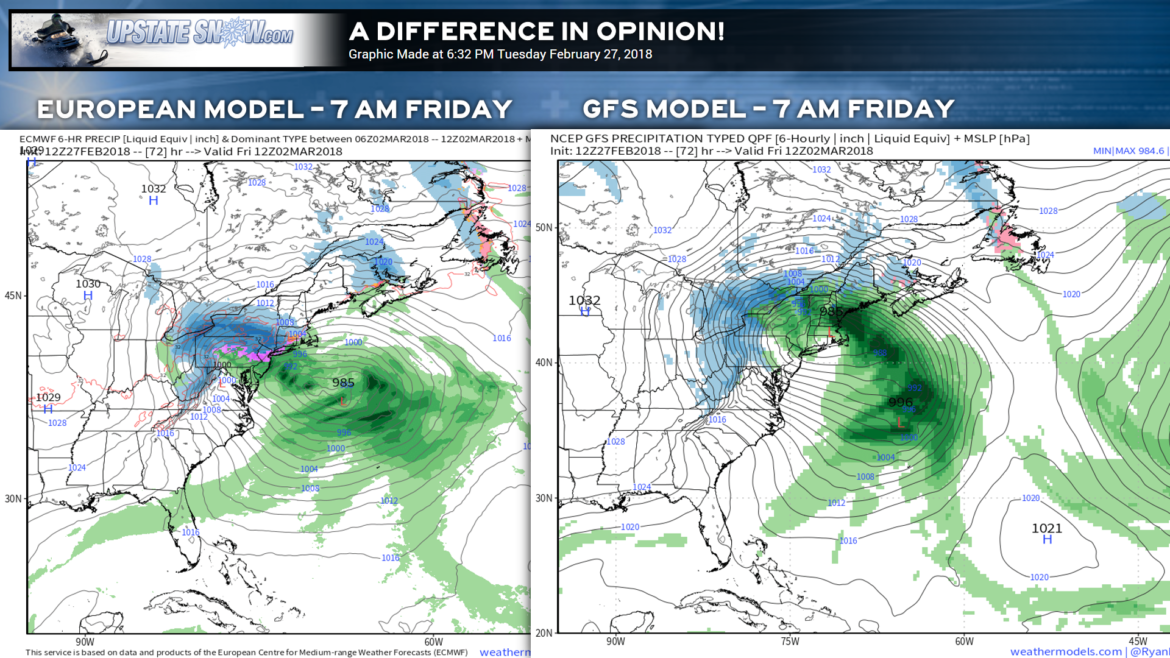
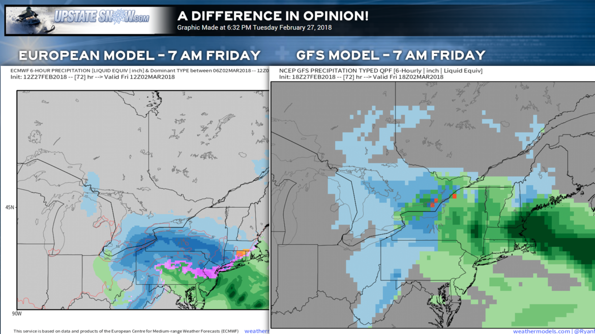
Where the GFS and European were in virtual lock-step agreement on solutions, the latest runs have a WIDE difference in opinon in the low pressure center once we get into Friday morning… and this brings obvious difficulties in our forecast at this time.
How wide of a difference in opinion? Check THIS out:
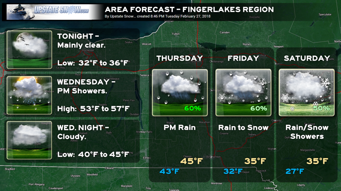
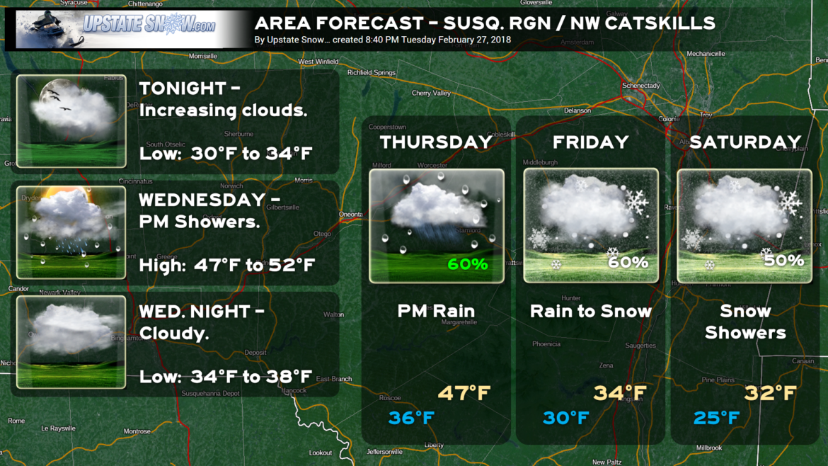
High pressure moves offshore tonight. By Wednesday afternoon, a frontal boundary forms over northern New York, and waves of weak low pressure will zip along this front as it sags southward over the state. This will bring light rain showers from time to time throughout the afternoon and evening hours.
The Main Event comes together beginning Thursday. As we head off to work and school Thursday, any precipitation over the state should be light, scattered, and of minimal impact… oh, and in the form of rain. Meanwhile, our main center of low pressure will be rapidly strengthening over central Indiana. At the same time, a new area of low pressure will organize off the Delmarva coast.
Model tendency has been to shove these lows a tad farther south and east, and that has continued today.
The SURFACE low off the coast will take over, but there will remain an upper level area of low pressure at about 10,000 feet over the Ohio / PA / W-VA border, or in that general vicinity.
As mentioned, initially it will be warm enough that we’re going to get rain out of this. But now the models develop a politician-like difference in opinion as to a) when the precipition starts on Thursday, b) how warm will it be initially, c) how quickly colder air funnels in from the northwest, and d) how long the precipitation stays in the area.
EURO: Precipitation doesn’t begin until late Thursday afternoon, initially in the form of rain but transitioning to snow during the night Thursday night / Friday morning. Transition occurs first in higher elevations where it may snow for several hours while rain continues in valley locations. Transition to all snow everywhere by mid-morning Friday, quickly tapering to snow showers Friday evening. Snow showers linger into Saturday via wraparound moisture.
NAM: Rain develops over western/southwestern NY by mid-afternoon Thursday, with rain developing over the remainder of central/south-central NY into Thursday evening. Transition to snow, higher elevations initially around or shortly after midnight, valleys toward daybreak Friday. Snow tapers off from west to east by Friday evening. The NAM wobbles the low pressure center about 100-200 miles ESE of Long Island and keeps intermittent snow in the area into Friday night/early Saturday.
GFS: Rain breaks out first across western/southwestern NY by early Thursday afternoon, with rain moving in SW to NE across nearly all of NY as surface low energy transfers from northern Ohio to about 100 miles SE of Long Island. This low moves north into southern/coastal Massachusetts by Friday morning, with widespread heavy rain across nearly all of NY (save for extreme SW NY where a transition to snow would begin). Precipitation would begin a slow transition to snow from west to east Friday afternoon, initially in the higher elevations, followed by the valleys by sunset. The GFS hangs the low just off the coast longer into Saturday, keeping snows across mainly central and south-central NY (except rain for the Capital District and Hudson Valley) into Saturday morning before quickly ending.
Ugh. So you see our forecast nightmare at this time. The European has a history of accuracy in winter systems, in this year and in years past, and the NAM has had a decent track record this winter as well. We are going to LEAN in this direction for now, but HECK NO we’re not going to even begin to speculate on accumulations. We wish we could, but there’s just such a wide range of possibilities right now, it’s more prudent to give the stew another 24 hours in the slow-cooker before making a “first call.”

