Good evening!
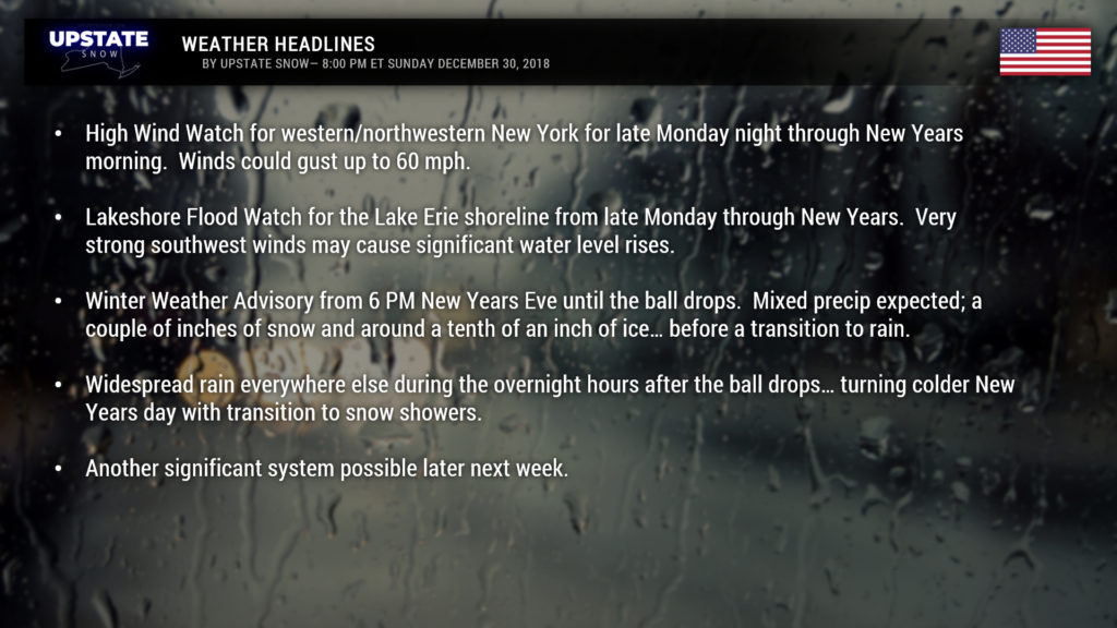
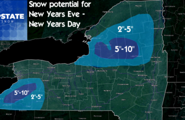
Low pressure is on its way… a southerly flow of warm, moist air will pump into the region New Years Eve, and precipitation will break out from southwest to northeast during the afternoon hours. Colder air will persist over the Catskills and Adirondacks; temperatures will range from the mid to upper 40s for the Fingerlakes and points west to the lower and middle 30s over the ADKs and eastern Cats, with 40s over the Susquehanna region. Winter Weather Advisories are posted for the ADKs where snow/sleet mix develops late Monday afternoon, transitioning to a period of freezing rain, and then rain shortly after the ball drops.
Modeling is hitting hard on rainfall totals between 0.75″ and 1.5″ across the state… and this will likely lead to some minor nusiance flooding. There may be a couple of inches of snow in the ADKs, along with a glaze of ice, before transitioning to rain.
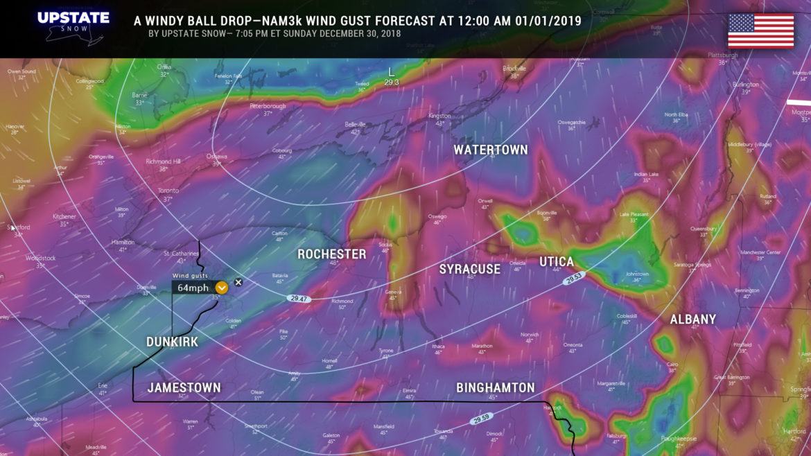
The “pressure gradient” with this storm system means some pretty strong winds will occur over the western and northwestern parts of NY… where winds could gust as high as 60 mph at times. One of the high-res models shows winds gusting to 64 mph at Dunkirk when the ball drops. I doubt we’ll see winds THAT strong, but gusts in the 20- to 40-mph range can be expected.
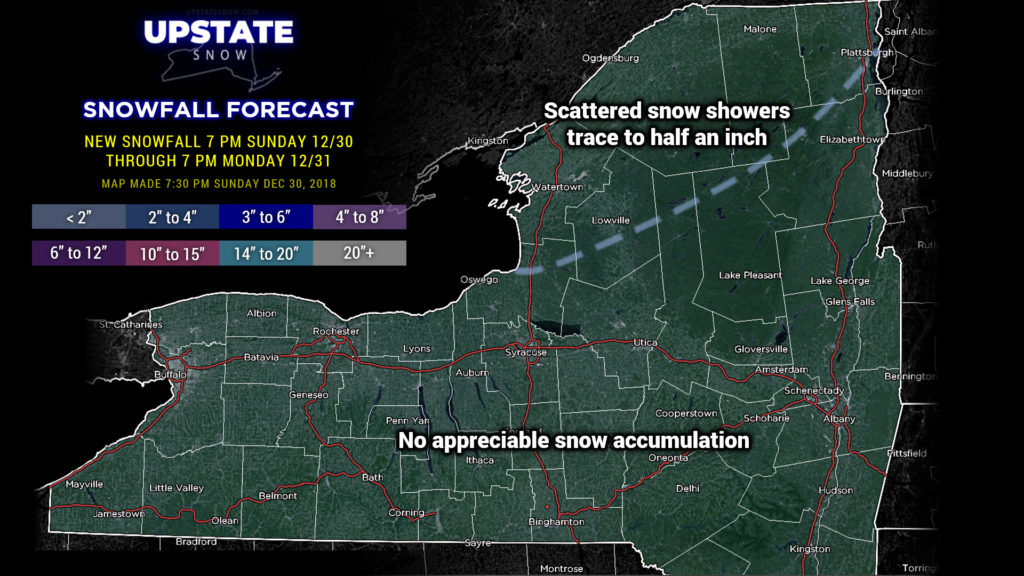
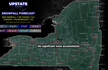
As our low quickly moves north/east of our area, the first cold front drags through here New Years morning, with the second, stronger front moving through during the evening or early overnight Tuesday night. A little disturbance will form on this front, and fairly widespread snow showers are expected, with some lake enhancement, but overall it’s not looking favorable for any significant snow accumulation. And besides, the ground will be way too warm for it to do any good anyway.
Now… as we go toward the end of the week, there are major differences in the model positioning of our next system, stemming from a closed upper level low pressure system over the southwestern US. The forecast from this point on depends mightily on it and the development of a surface low over the Texas Gulf Coast. This will tend to ride the southern jetstream… the question is will this “phase” with a disturbance on the northern jet (a clipper-like system). The Euro does not phase the systems, but does bring the original low almost directly over the state, which means another rainy scenario. The GFS has had crazy swings in run-to-run results… it seems the general inclination is that our low develops closer to the Gulf Coast, runs northeast through the Carolinas, and then off the Atlantic Coast…. while at the same time the little clipper-like system brushes the Upstate. This would be a colder scenario, with snow showers Thursday through Friday. If we wanted to “blend” the two big solutions, one would expect rain and/or snow showers Thursday and Friday during the day, with snow probable Thursday night….. either way, nothing cold enough to harden the ground, and, at this point anyway, no significant snowfall. And yeah, that’s a change from what we said just the other day. Lots can (and probably will) change over the next couple of days, so we’ll just watch it.
Have a good evening and a safe New Years Eve!

