Good evening,
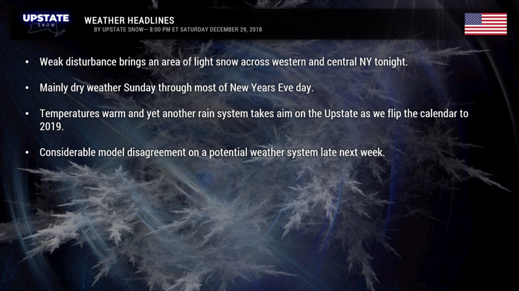
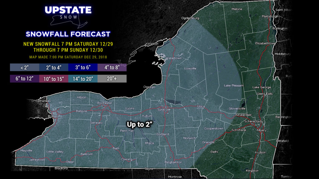
A weak little disturbance will bring an area of light snow across mainly western and west-central NY tonight. This will dissipate and fizzle out as it moves east, but an inch or two of snow can be expected across a good portion of western and west-central NY. Not a lot, and unfortunately nothing that’s going to stick around for very long.
By New Years Eve, warm air starts pumping in from the southwest to northeast ahead of the next rainmaker. We’ll see temperatures bump into the 40s across much of the state, save for the Adirondacks and portions of the Catskills, which will remain in the mid 30s. Mid to upper 40s can be expected from Olean to Rochester and points west.
An area of rain will begin to move into the state from south to north Monday evening. Once again some of the colder air may take a little while longer to scour out, primarily in the ADKs… which would lead to a period of freezing rain, but in general everything goes over to rain as we ring in the New Year.
Models show our low pressure center moving across CNY or along the Canadian border by breakfast-time on New Years Day. All of them… the European, FV3-GFS, GFS proper, Canadian, and the higher res NAM models all agree on this scenario.
This is yet another strong, deep low pressure center, and could produce some locally gusty winds across the region as the clock strikes midnight. Modeling suggests winds of 75+ mph at 5k feet, and with our strengthening surface system, we could see winds here at terra firma in the 30-40 mph range.
Our modeling also shares pretty good agreement on rainfall totals… a few ticks either side of an inch of new rainfall through New Years Day.
I could almost cut-and-paste the rest of the details from our last storm system and put it here. Once the main low moves north/east of us, it will drag a cold front across the area New Years afternoon– we’ll see temps falling during the day. While surface temps will be slow to fall, temps at 5k feet will tumble, which will kick off some lake effect rain showers. The second cold front pushes through later Tuesday (accompanied by a little clipper-like system) and whatever is still falling from the sky will be frozen. Lingering lake effect snow showers should continue into Wednesday with seasonable temps.
Now things get muddy again as we get into the latter parts of next week. The FV3-GFS pushes a big southern-stream system northward, merges it with a clipper riding the northern jet, and spawns a pretty deep area of low pressure off the NJ / Long Island coast by Thursday morning. The European model also phases the two systems. Depending on the low track, these scenarios could result in a pretty significant “real” snowfall for much of the Upstate…. the low has to track just far enough south and east for that to happen. FV3-GFS says yeah man, bring it, while the Euro says mmmmmaybe. The GFS operational has none of that… the southern-stream system stays to our south, soaks the Carolinas, and then says bye-bye off the east coast, as a clipper rides the northern-stream rails off to our north. This would result in occasional light snow showers Thursday into Friday. In short, if there’s no phasing of the northern and southern streams, it’s not going to snow very much. This is far out in time though, so we’ll see how modeling progresses over the next several days.
Take care, and thanks for your support.


