Good evening!
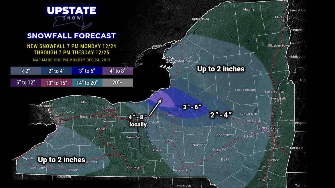
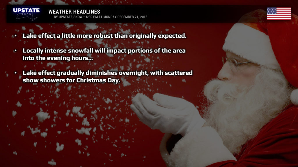
A band of intense lake effect snow is impacting portions of Cayuga, Oswego, and northern Oneida counties. This band continues to push east/southeast with blinding snowfall along I-81 for the next couple of hours. Lake effect snows will also impact portions of the ADKs and Mohawk Valley into early this evening…. and some thunder is possible across Oswego and northern Oneida county. Advisories are up for portions of Wayne, Cayuga, Oswego, Onondaga, Cortland, Madison, Oneida, and southern Herkimer counties through tonight. Enjoy the White Christmas!
Drawing a snow accumulation map isn’t as straightforward as one would think… trying to locate where the band will impact… so take it with a grain of salt. Not everyone in the 3-6 or 4-8 areas will actually see those amounts… it will be quite localized.
LES tapers off with scattered snow showers continuing through Christmas Day and early Wednesday before high pressure builds in. This high slips off the east coast Thursday, allowing a southerly/southwesterly flow of moist, mild air to push back into the Upstate.
Modeling continus to zero in on our next system by the end of the week. A storm system develops over the mid-Mississippi Valley Thursday night… advancing into the Great Lakes Friday morning… and up the St. Lawrence into Quebec Friday evening. And we know what that kind of storm track means for us… but I really don’t want to spoil your Christmas. We’ll talk about that one on Wednesday’s update.
From all of us at Upstate Snow… Merry Christmas!

