Ok good evening everyone…
Complex weather pattern. That’s the understatement describing what’s headed our way this weekend. And, because reasons, some of the details are different than the novella we posted last evening.
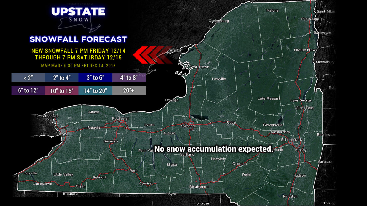
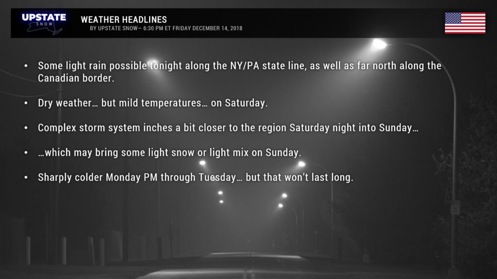
Our first “wave” tonight will bring rain probably about as far north as the NY/PA border… perhaps into the southern Susquehanna Region and Catskills. At the same time, a dying frontal boundary will drop southeast across the state during the overnight, and this may bring some rain showers to northern St. Lawrence and northern Franklin county. And that’ll be that. No snow… this is all going to be liquid.
All of the model guidance says Saturday is dry. High pressure over southern Ontario will be responsible for that. On the flip side, though, temps will be solidly into the 40s area-wide.
Now here’s where things get a little more spicy. On Saturday night, the upper low we talked about will move toward Maryland/Delaware/southern New Jersey, somewhere in there depending on which model you fancy, and the surface low(s) will also follow suit: One over central Tennessee, one over West Virginia, and one over coastal Virginia. The high to our north now looks like it’s going to be pushed a bit farther to the north and east, which will allow those three lows to come juuuust a bit closer to the area, centered over northern West Virginia and Maryland late Saturday night, before sliding off the coast.
Both the Euro and GFS show precip reaching the NY/PA border during the overnight hours Saturday night.
Remember the high moving farther north and east? Winds blow clockwise around high pressure, so an east/northeast wind flow becomes established… which might drag in just enough cold air at the lower levels that the precip falls in the form of mixed precipitation. The Euro shows freezing rain / sleet approaching the state line during the middle of the night… with the GFS reaching the state line by Sunday morning.
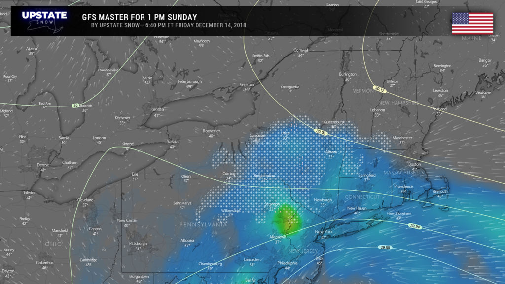
From the GFS model perspective, precipitation reaches about as far north as a line from roughly Corning to Syracuse to Queensbury… peaking during the mid-afternoon. By that time, the model believes enough cold air will start to filter in from the north that a transition to light snow takes place. Emphasis on light– none of this is going to amount to an awful lot.
The European is a lot more diffuse in all of this, with a crock pot meal of rain showers, mixed precipitation, and snow showers mainly south of the Thruway.
Really that’s the “peak” of the storm for us this weekend. Kind of anticlimactic really. Could have been much worse… flooding rains are occurring for much of Virginia and North Carolina as this is being written. That all stays away thanks to that high off to our north.
Precipitation totals – for the southern tier, through Sunday evening, maybe a quarter of an inch liquid equivalent, with lighter amounts the farther north you go… maybe a tenth of an inch liquid along the Canadian border tonight. As for ice and snow accumulation? Yeah MAYBE a coating over high elevations on Sunday. MAYBE a thin coating of ice. It’s really impossible to tell at this point.
Temperatures tumble on Monday as a cold front absolutely blasts the state, and lake effect snows will result in its wake through Tuesday. This doesn’t last long, because a southerly flow becomes reestablished by next Wednesday, bringing temperatures well above normal once again. :/
Have a good night, thanks for your support!

