Good evening!
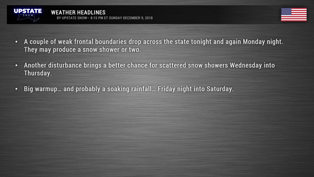
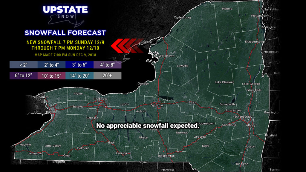
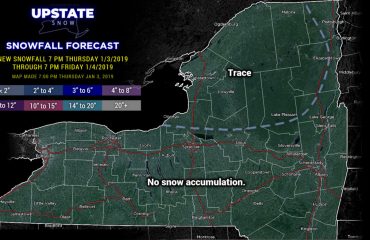
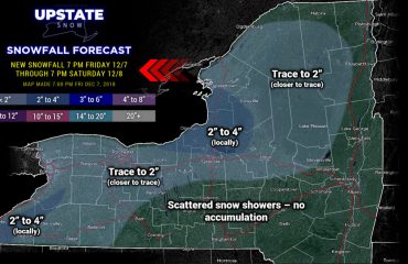
Well there really is not a lot to talk about this evening. A weak cold front will drop down tonight, oriented west to east, and will sink about as far south as the Thruway. There’s simply not much moisture with this though, so some of us might get a snow shower or two. No accumulations.
Another weak front will drop across the state Monday night, again with limited moisture. After that (on Tuesday) a “shortwave” spins over the northeast. What this is… is a “kink” in the big picture… they are associated with an upper-level front or a cold pool aloft. The high-res modeling shows a better response with this, with some light snows spinning southeast over the state, enhanced by Lake Ontario. This sort-of “disturbance” hangs around into Thursday. We’ll have seasonably cold temperatures extending into Thursday.
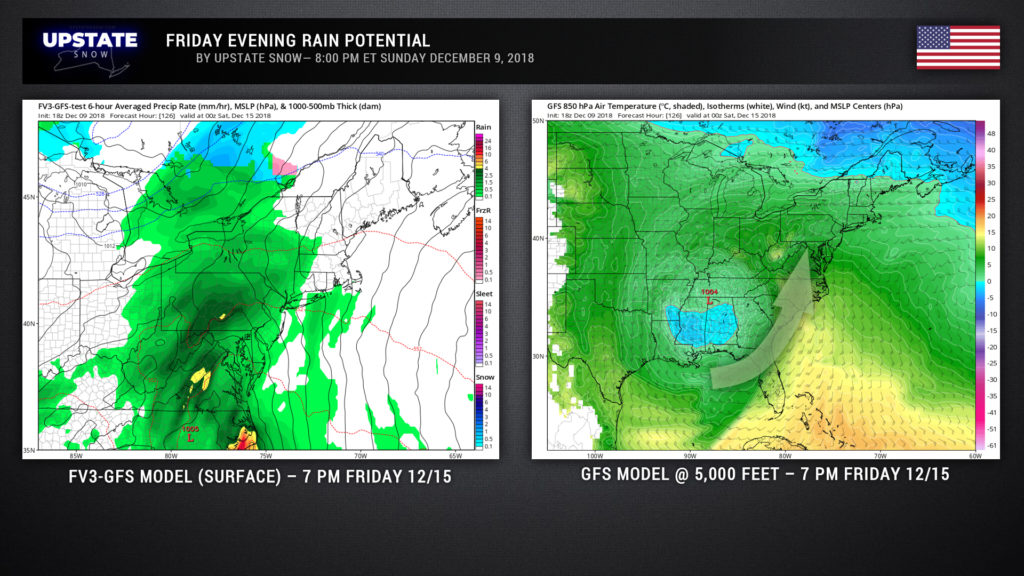
The main event of the weather over the next 7 days comes next Friday through Sunday. Sadly, there’s not much model agreement. I’ve attached the GFS model representation for 7 PM Friday. Warm, moist, Gulf air would be rocketing up the east coast. The overall “big picture” says that a storm system moves northeastward from the south central US into the northeast by Saturday. Precisely WHERE in the northeast is anyone’s guess at this point, because the models are fighting corrupt politicians trying to win an election. The GFS shows an upper level low becoming established over Tennessee by Friday evening; theoretically this will be over or near our surface cyclone, and these would lift northeastward in tandem. The GFS model argues with itself though — the FV3-GFS puts a surface low over central North Carolina with the upper low over the Alabama/Georgia border. Ugh.
The European models have a completely different opinion. The upper low is over central Alabama Friday evening, with the surface cyclone over Georgia. The Euro spawns a deep storm system off the Long Island coast by Saturday afternoon… with 850 lows (plural) over NYC and just off the coast of Charleston, SC.
Needless to say this is an absolute mess which leaves us with a very low-confidence outlook, even lower-than-normal confidence considering we’re talking about days 6-7. At minimum, a fairly dramatic warmup by the end of the work week, with the potential for a rather generous rainfall Friday night through Saturday…. but all of this could change, so stay tuned.
Have a good one, thanks for your support!


