Hey gang,
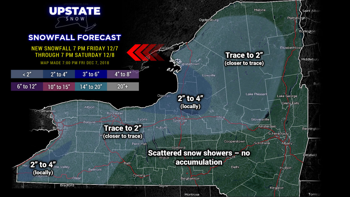
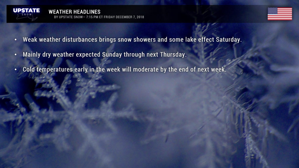
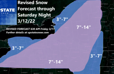
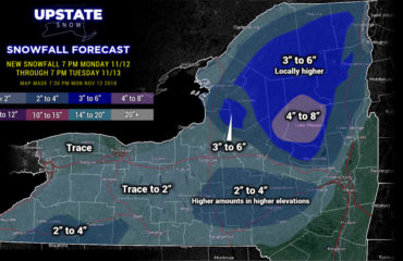
Well there isn’t an awful lot to talk about tonight. A few weak little disturbances in the middle levels of our atmosphere will bring occasional snow showers with some lake effect on Saturday. The best dynamics will be east-southeast of Lake Ontario and east of Lake Erie… but that’s not really saying much. Perhaps 1-3 or maybe 2-4 if you’re lucky in those areas.
Broad high pressure will keep dry conditions across the Upstate at least through next Wednesday. We’ll start out plenty cold — highs in the 20s and lows in the upper singles to lower teens Saturday into Monday… but temperatures will warm considerably beyond that.
Models show our next system riding from roughly Oklahoma northeast into the Great Lakes by the end of next week. Just like the past couple of times we’ve seen this, warmer air will push in… and rain will fall. However, the models tend to push things south/east with time, so we’ll watch it.
Take care, and thanks for your support!

