Good evening!
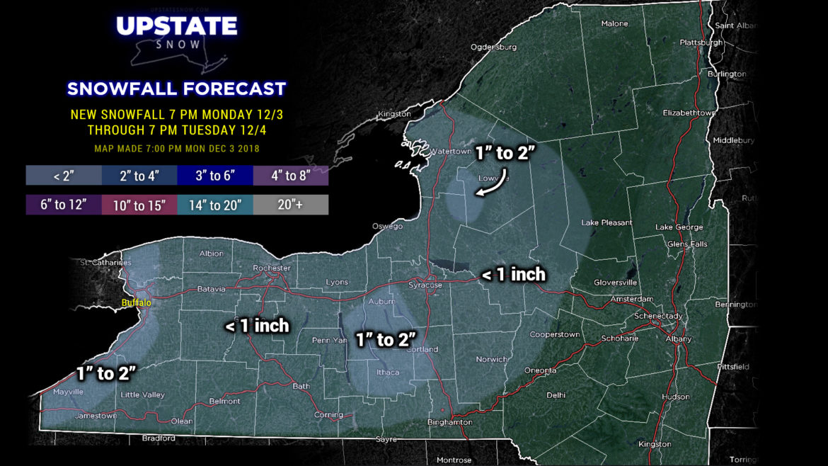
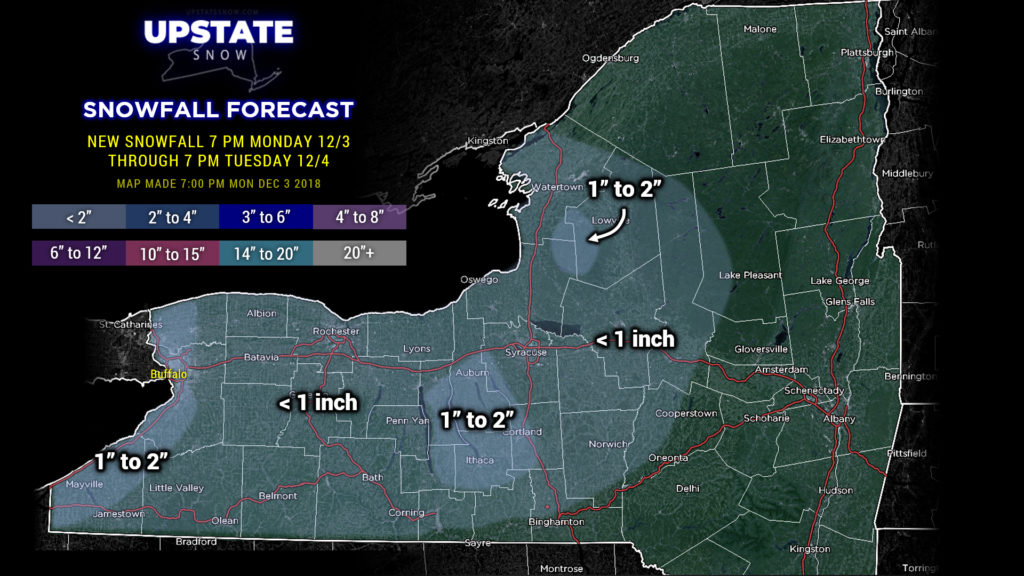
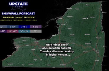
Any leftover areas of rain will change to snow this evening. High resolution models show the lake effect/enhancement to taper off around or shortly after midnight… perhaps some snow showers lingering in the eastern Fingerlakes toward I-81 during the overnight. New snow accumulation after 7 PM this evening through 7 PM should be fairly light… perhaps as much as 2 inches across the central Southern Tier where the snow showers persist a bit longer.
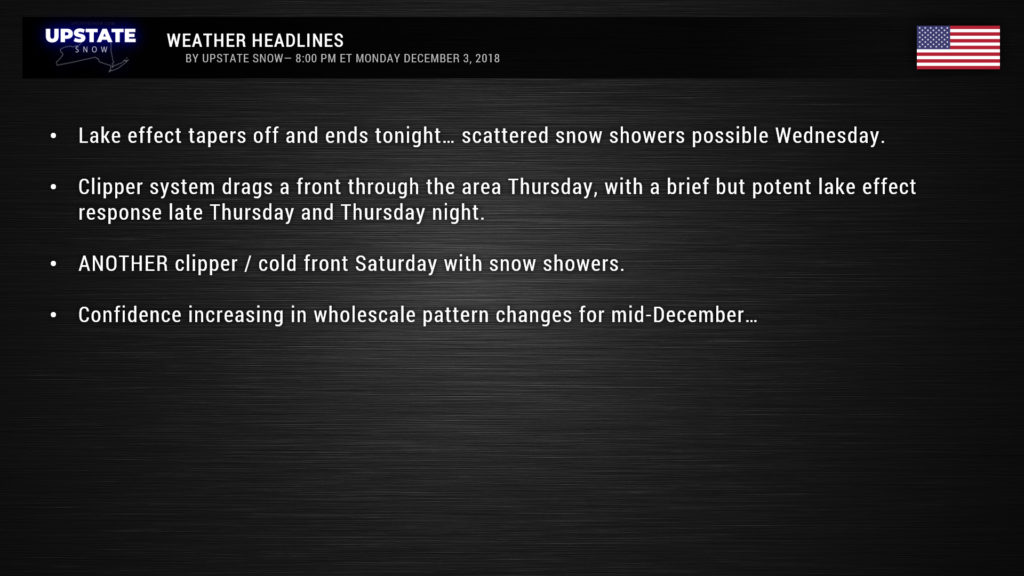
Lake effect could return on Wednesday thanks to a west-southwest flow. Some accumulations are possible east of both lakes but it’s not going to be anything to get excited about.
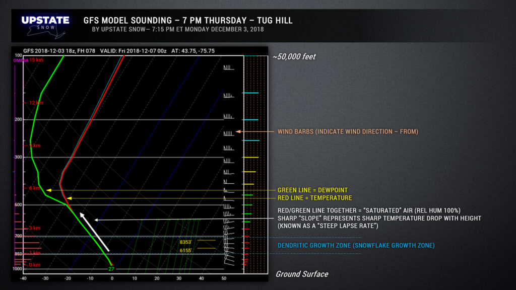
After this, a small, weak clipper will move through southeastern Canada, dragging a cold front across the state Thursday. The storm system itself is not especially remarkable, but will bring some light snows/snow showers to much of the state with a fresh covering. It will also establish near-perfect conditions for a short-lived but potent lake effect event later Thursday into early Friday. Really it’s a very interesting atmospheric setup from a weather-nerd standpoint… there will be a very sharp drop in temperature as you go from the ground to roughly 30,000 feet (surface temp around -2°C at the surface to around -10°C at 5,000 feet, to roughly -22°C at 10k feet. This will be carried over Lake Huron and Lake Ontario on a nearly-perfect west-to-east wind flow from the ground to 50k+ feet. So not only will we get some lake snows out of this… possibly a fair bit of it east of Lake Ontario, especially the Tug… but may create enough instability that it wouldn’t be surprising to hear some rumbles of thunder on the Tug Thursday evening.
For those who are new to our site, occasionally we’ll post some science-behind-the-weather, here’s an example. This is a forecast sounding (called a Skew-T/log P diagram). It gives forecasters information about the atmosphere from the ground surface to 50,000+ feet. This is for the Tug Hill, for 7 PM Thursday.
Ok, our weather-geek moment has passed now, lets look toward the weekend. A very strong southern-stream storm, by all indications at this very early juncture, will stay well to our south. Another little clipper system may bring some light snows and a renewed chance for lake effect Saturday.
Looking longer-term, through mid-December, a pattern change appears to be unfolding. The overall pattern we’ve been in since early November may break down… resulting in a zonal flow across the nation. For us that means air of Pacific origin instead of Arctic origin. Modeling suggests that the true Arctic air stays over the north pole, or even on the Asia side of the pole. We’ll see, but this overall pattern change seems to be agreed upon by the major modeling. In real-world terms, that would mean a period of above-normal temperatures thorugh the middle of the month. :/
Take care, and as always thanks for supporting our site.

