Good evening…
Not much good news in tonight’s report, no major changes in the general progression of what’s coming this weekend.
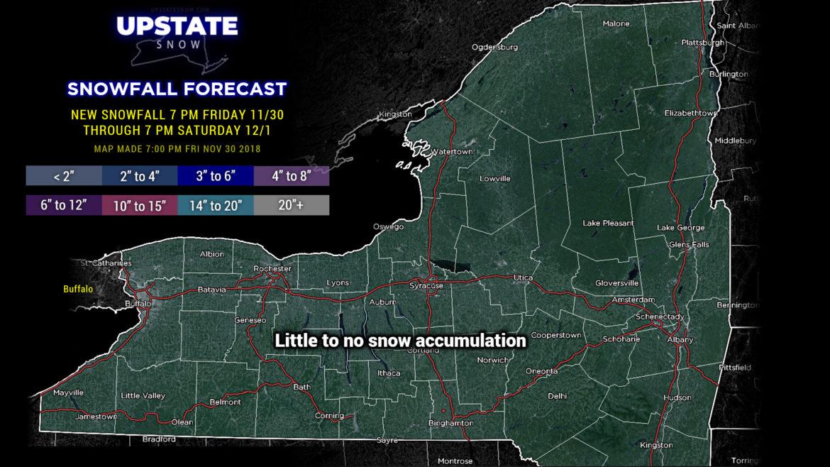
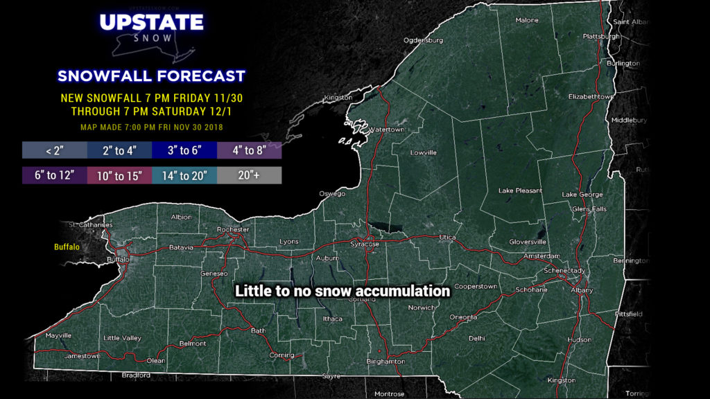
Warmer air filtering north and east will lead to some pretty widespread fog, especially over the Chautauqua ridge tonight. That warmer air continues to build slowly across the state through the day Saturday as our very large storm system moves into the midwest Saturday afternoon… and then eventually the Great Lakes, up the St. Lawrence, and into Quebec through Sunday. We’re going to see rain break out late in the day Saturday (I believe MOST of Saturday will be dry for everyone) from southwest to northeast… with areas east and north of a line from Watertown through Utica through Hudson staying dry through the daylight hours.
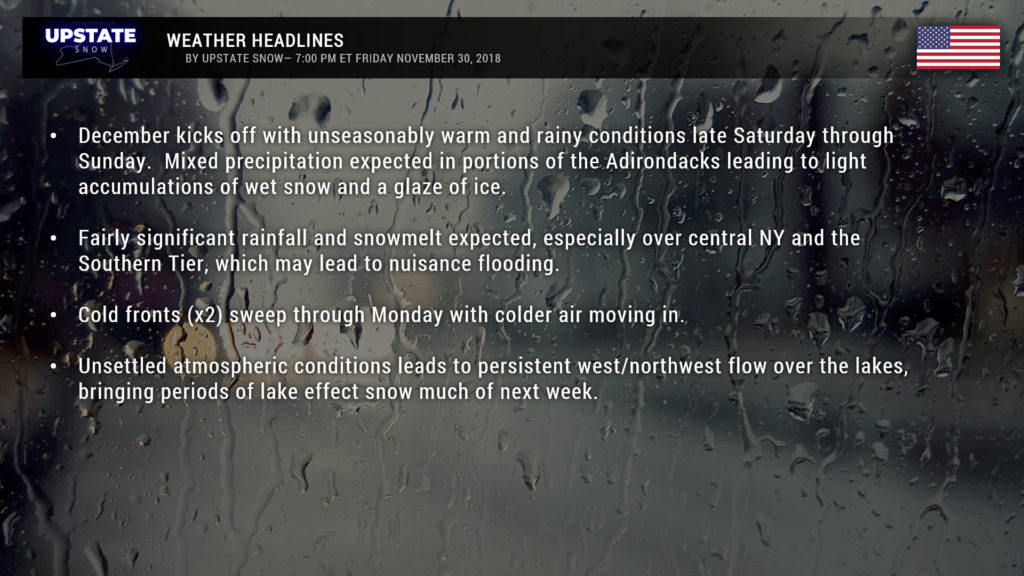
Precipitation continues to move across the state during the night Saturday night into Sunday. The eastern Adirondacks are more likely to see mixed precipitation (probably wet snow at the onset), and areas of Fulton, Hamilton, Warren, Essex, Franklin, and Clinton counties may see an inch or two of wet snow accumulation and a glazing of ice (a tenth of an inch or less at this point)… this would be later Saturday night through Sunday.
For everyone else, it’s rain. The rain may be locally heavy at times during the overnight and into early Sunday morning. Rainfall amounts generally will be between a third and two-thirds of an inch, but some areas may pick up as much as an inch of rainfall this weekend. The vast majority of the rain will come late Saturday into Sunday morning.
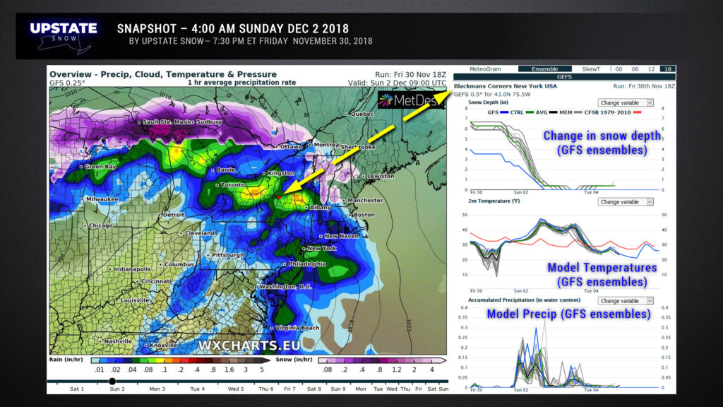
Here’s a “model snapshot” for 4 AM Sunday. The location – Blackmans Corners, NY, was chosen completely at random (the red dot in the center of the state on the map). This is a neat little product that shows various levels of model data… what I put here included the model’s interpretation of the snow depth loss, the temperature, and precipitation. This is just the GFS ensembles (the GEFS).
Temperatures will continue to climb through Saturday night and Sunday. Breaks of sunshine on Sunday will only provide aid and comfort to the enemy, so to speak, and many areas of the lake plains, the Fingerlakes, and the Southern Tier can plan on highs in the 50s on Sunday… some spots in the Genessee Valley might even touch 60.
As our storm system moves northeast of the area into Quebec, models show two cold fronts sweeping across the region. The first one will be a poser, mainly just a shift in winds and a focus for additional rain showers… this crossing during the night Sunday night. The second front will have a lot more nitrous behind it, and this will cross during the day Monday. Precipitation will accompany these fronts, initially of course in the form of rain, but as cold air moves in Monday, this transitions to snow showers Monday afternoon from west to east.
Unfortunately the majority of the cold west-northwest flow “chases” the moisture, and by the time things would be good for lake effect, models show the majority of our moisture pushing away. So instead of a good lake effect event, we’ll be left with just scattered snow showers Monday night into Tuesday.
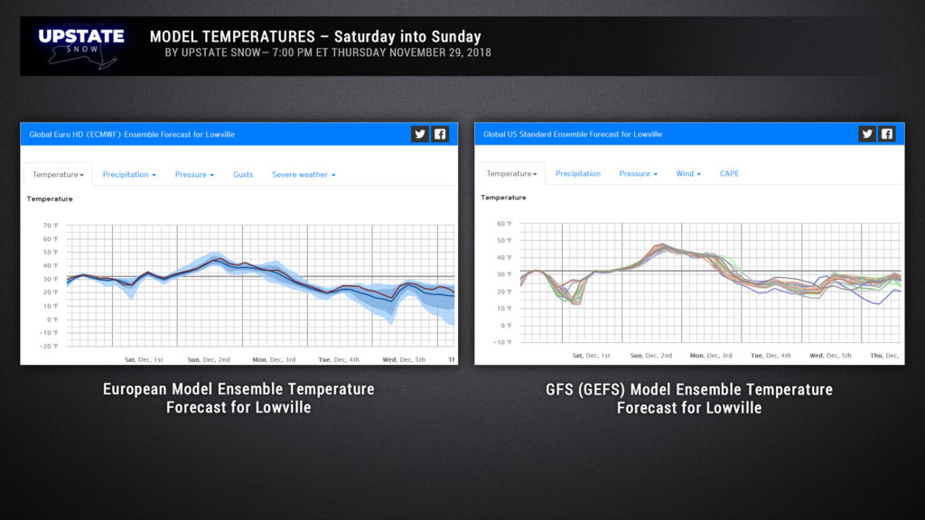
NEXT WEEK— Cold, Arctic air will push southeastward out of Canada. A steady west-to-northwest wind flow much of the week will lead to lake effect snows Tuesday through Thursday. Models indicate that the flow late Wednesday through Wednesday night may put the Tug in the crosshairs for plowable snow. Here’s a snapshot of the ensemble model temperature outlooks– once we get through the weekend, we see a persistent below-freezing trend well into next week.
As we round out next week, another cold front moves through which reinforces our cold air and lake effect snows.
That’s it for now. Again, wish we had better news for you. But it’s early in the season still, only the first weekend in December. November spoiled us a bit, I suppose this is nature’s way of getting even…? Have a good evening, a good weekend, and thanks for supporting our site.

