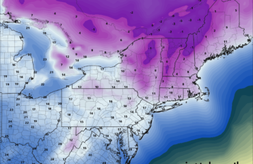
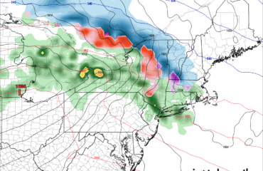
Good evening once again…
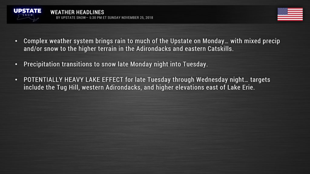
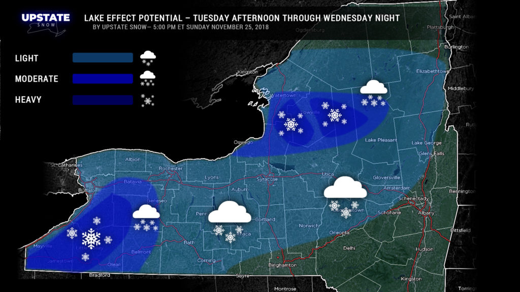
A very active weather pattern is shaping up for the first half of the work week with some rain tomorrow… a snow “showery” day on Tuesday, followed by what is shaping up to be a period of intense lake effect snows for Tuesday night through Wednesday.
Let’s break things down…
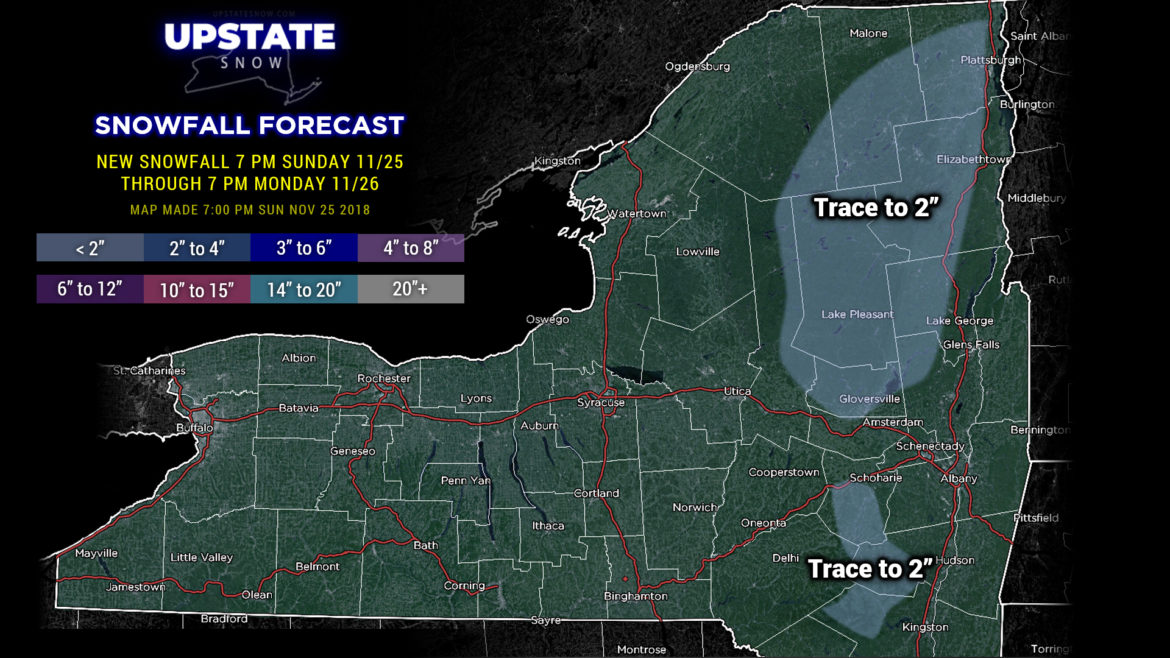
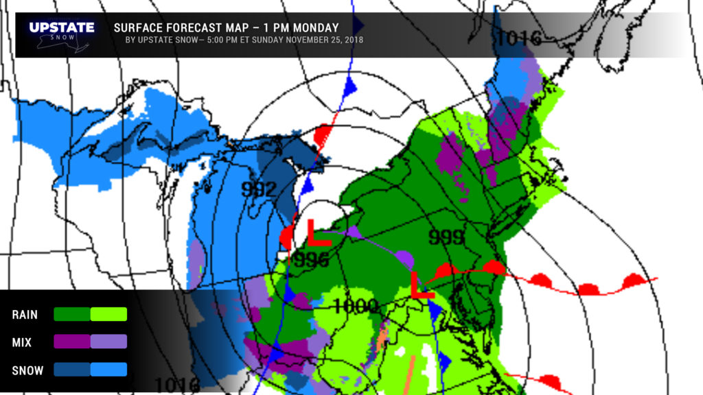
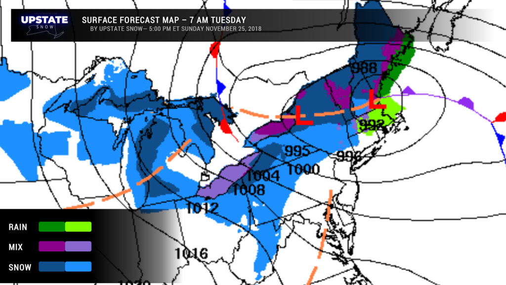
for Monday: Low pressure will move from northern Ohio early Monday morning over Lake Erie to a position over or just north of Lake Ontario by early Tuesday morning. A southeasterly flow will cause rain, mainly light rain, to break out across much of the state. Mixed precipitation is likely over the higher terrain of the Adirondacks and the eastern Catskills, and we’ve painted in an area of snow accumulation through Monday evening for these areas — perhaps a coating to a slushy inch or so in the highest elevations. Anyway, a secondary area of low pressure will get organized either over New Jersey or just off the coast … modeling still doesn’t want to make a firm decision on this … and this will become our primary storm system.
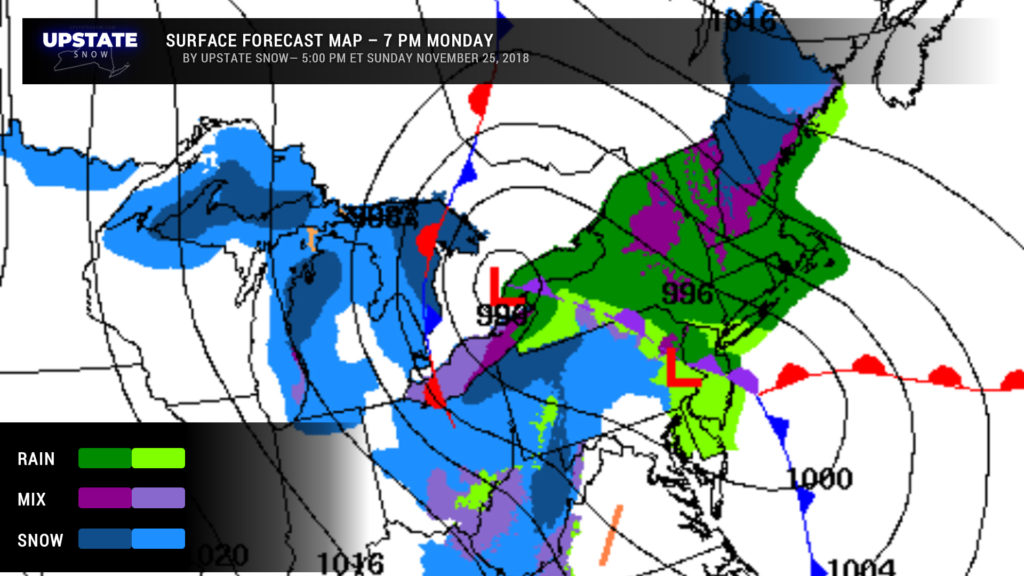
By Tuesday, our original system is meandering about aimlessly… probably over northern New York or maybe over the St. Lawrence depending on which solution you want to believe. West-northwest flow of colder air has wrapped into our system by now and we should all be experiencing snow or snow showers by time you get ready for work and school on Tuesday. Lake effect snows will begin early Tuesday morning east of both Lake Ontario and Lake Erie.
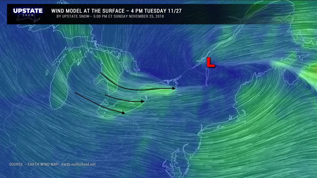
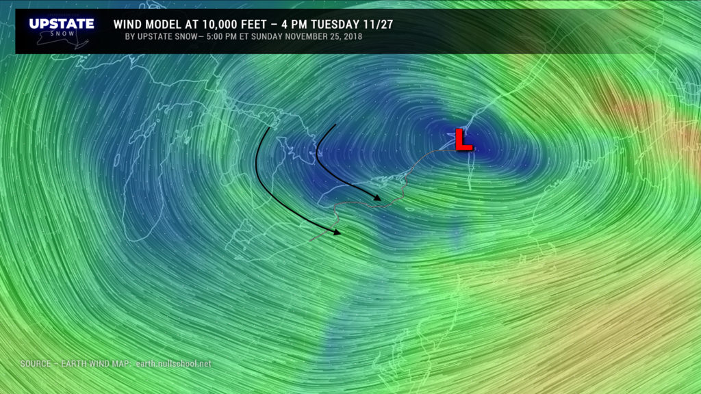
Speaking of lake effect, as our SURFACE system moves into northern New England, our closed low will drift along the International Border. This creates a near-perfect setup lake effect to push the accelerator to the floorboards. Abundant moisture will flow over the lakes thanks to a WNW wind flow, combined with “synoptic” moisture from the closed low. All of this, aided and abetted by upsloping on the Tug and western Adirondacks, as well as the higher terrain east of Lake Erie… means that pretty significant snow totals are possible, especially east of Lake Ontario. NWS Buffalo has already posted winter storm watches for the usual Lake Ontario counties for Tuesday morning through Wednesday afternoon. We believe that the higher elevations will see significantly more snowfall than the lower elevations — routes 26 and 12 may see about half as much as what others see on the Tug and into the western Adirondacks. We’ll be able to more confidently hammer out those details by Tuesday.
This is a really neat scenario for weather geeks like those of us who write these blogs. The next three images illustrate the wind setup across the lakes — at the surface, at 5,000 feet, and at 10,000 feet. As we mentioned last night, a “closed low” will move SLOWWWWWWLY along the NY/Canadian border. This is also illustrated quite nicely on the Earth Wind maps. So again, confidence is very good on some decent snowfall for portions of the Upstate.
The lake effect should continue into Wednesday night, but the rates will start to drop off fairly quickly as the closed low starts to pull north and east. Scattered snow showers are possible into Thursday before things finally come to an end.
Unfortunately…. our next system arrives next weekend. Now, it’s still 6-7 days out, so there’s time to watch this, but the modeling suggests a thorough soaking rainfall with warmer temperatures coming later Saturday through next Sunday. We’ll just put that on the back burner for now.
Take care, and thanks for viewing!

