Good evening!
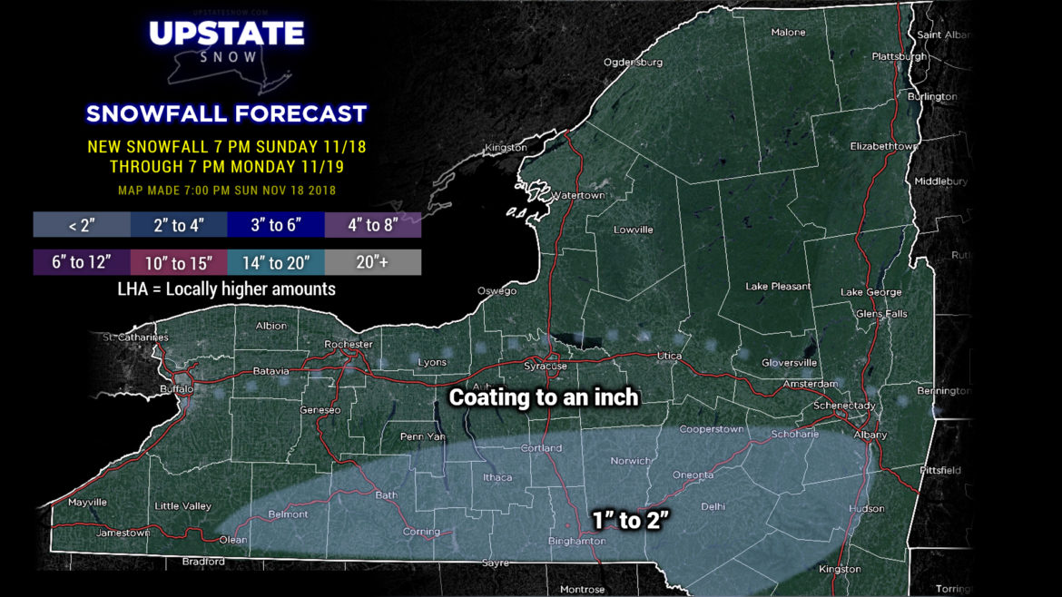
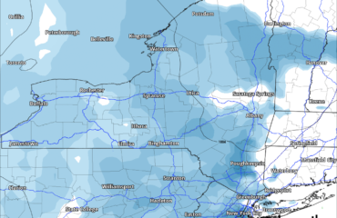
A weak system will deposit a light accumulation of snow across the Southern Tier now through Monday afternoon. Minor accumulations, 1-2 inches… maaaaaybe an isolated 3-inch total, but don’t count on it.
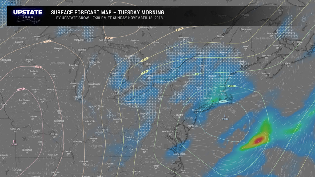
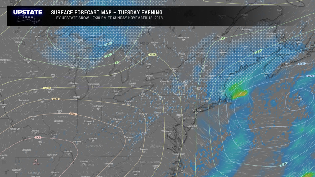
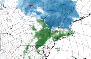
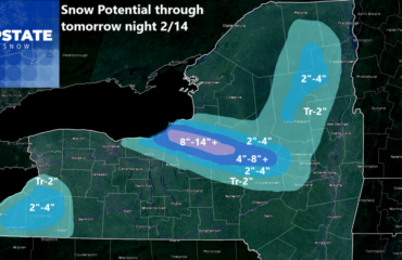
Another series of systems impacts our area Tuesday into Wednesday. A system will lift from northern West Virginia to just south of Long Island by Tuesday morning, then quickly into the Gulf of Maine by Tuesday night. THis will throw some snowfall into our area… the moisture isn’t looking all that stunning at this time. Meanwhile, another system will scoot off to our north later Tuesday… this will increase the coverage of snow showers across the state. How much? Tough to call, but it’s not unreasonable to think we’ll get 2-3 inches of snow Tuesday into Tuesday evening.
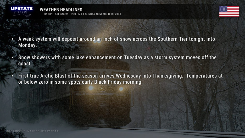
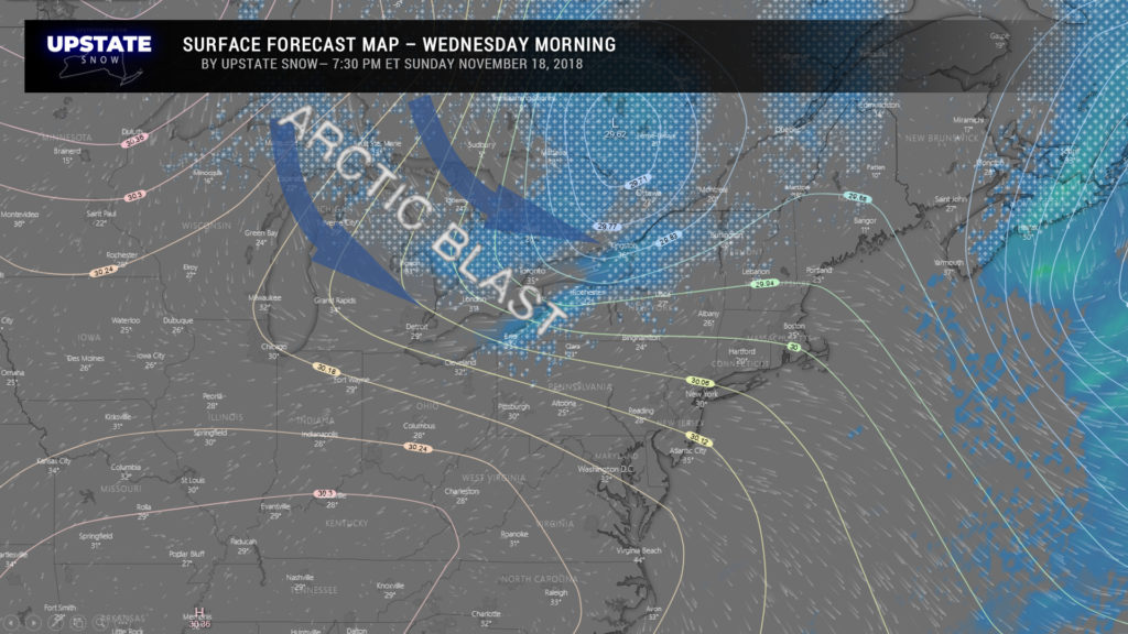
As that storm moves farther off to the north and east, it will drag a strong cold front across the state early Wednesday. This will bring the first true Arctic blast to the state. Temperatures will tumble… and the front will likely be accompanied by a burst of intense snow squalls… on one of the busiest travel days of the year.
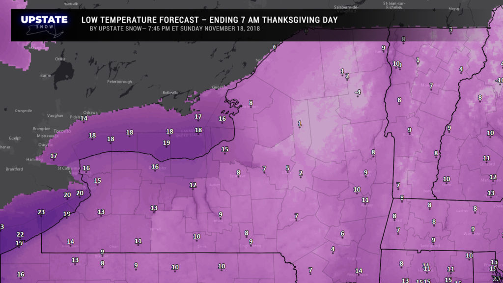
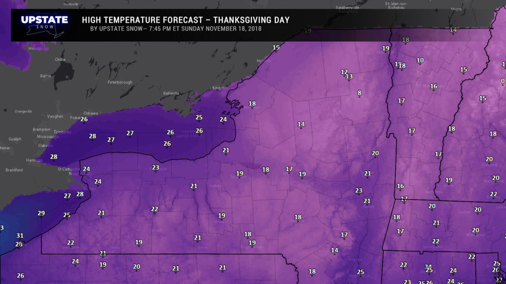
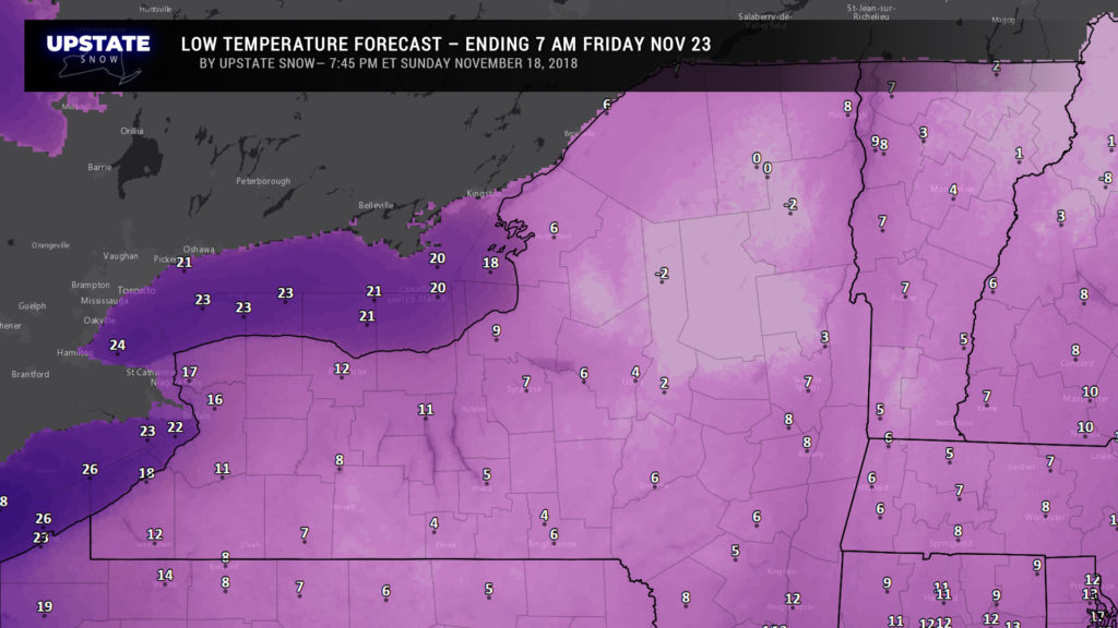
From there it gets COLD… temperatures resembling what one would expect in late January. Temperatures early Thanksgiving day could be a few degrees either side of zero in some areas, and high temperatures reaching the teens Thanksgiving afternoon. Temps dip to around or below zero Thursday night into Black Friday.
By next weekend, models show a warm front lifting southwest to northeast across the state Saturday into Sunday, with temperatures rising into the 40s with the next weather system… but this doesn’t look like it will last long as a return to the cold temperatures looks to return after that. Have a good one!

