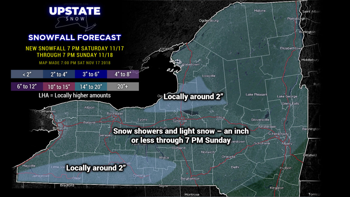
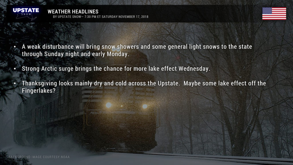
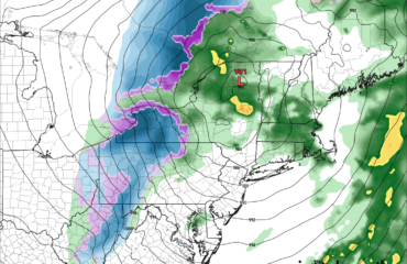
Good evening! Not an awful lot to talk about in tonight’s update. A weak system will zip across the state tomorrow. Snow showers and a general light snow will accompany this system, but accumulations not more than an inch or two in most areas. There may be “around 2 inches” along the NY/PA border and east of Lake Ontario, but that’s about it.
Cold … near-record cold for November … will surge southward over the northeast for Wednesday into Thanksgiving day. As this surge happens Wednesday we may see some snow showers and lake effect, but as of right now the front seems pretty starved for moisture.
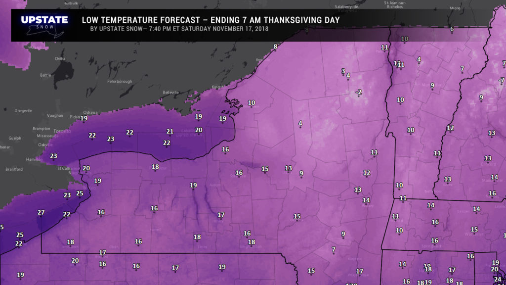
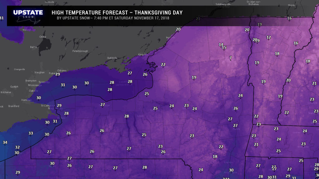
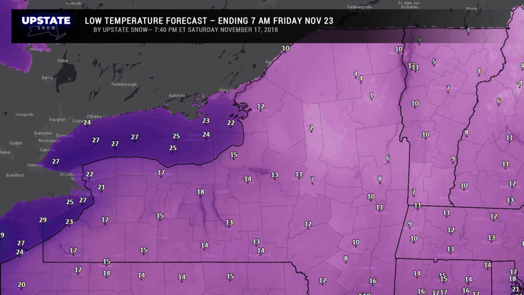
Temperatures more likely to occur in mid-January than late November will occur Wednesday night into Black Friday. Models showing temperatures in the teens and single digits as you wake up on Thanksgiving. Afternoon highs on Turkey Day may range from the teens in the Adirondacks to the low and mid 20s for the Susquehanna Region, to the mid and upper 20s for the Fingerlakes. As for snow… meh… not looking at much on Thanksgiving. Model soundings show the snow “growth layer” to be fairly close to the ground, and the Arctic air deep enough that some lake effect bands may form off the Fingerlakes.
…..and that’s really “it” for the coming Holiday week. Nothing major at all… just some light snows tomorrow into Monday, a blast of Arctic air and some lake effect for Wednesday into Thanksgiving.
Don’t get too used to the cold… models show that by NEXT weekend, highs are back up into the 40s. But that’s a ways out… so… we’ll see.

