As of 8:45 PM Monday 11/11 – Our snowfall totals reported to us are as follows:
Indian Lake – 4.0″
Turin – 3.0″
Deerfield – 0.5″
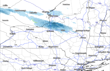
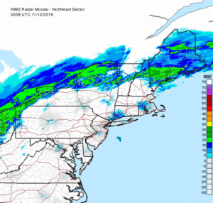
In general several inches has fallen over the Adirondacks and Western NY, especially the Buffalo and Rochester areas. Western NY will continue to get hit with more steady snow until after midnight and many areas of WNY will be in the + of our original 4-8+ forecast. There is freezing drizzle and sleet over CNY and the Mohawk Valley, even getting into the southern Adirondacks as predicted. Watch out for icy travel along with the snow! But except for the WNY snow, most everything is lifting out for a few hours… Radar from just after 8 PM from NWS
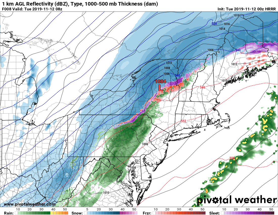
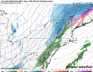
But the low pressure, as you see, moves over CNY and actually into the southern Adirondacks overnight. This will bring a period of heavy snow across CNY during the overnight, resulting in a few inches to shovel off in the morning. In Syracuse, Utica, most of CNY, and the Capital Region, allow extra commute time tomorrow morning. Map below is as of 3 AM 11/12

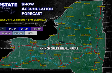
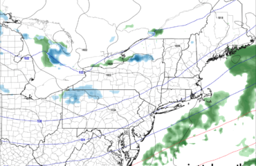
By 7 AM 11/12 Tuesday the steady snow is over for most except for the quick dusting to 2″ falling over the Capital Region at morning rush hour…
Snow quickly tapers off by lunchtime. All of Upstate NY during the day tomorrow turns windy and BITTERLY COLD. RECORD COLD. Could see below zero in the Adirondacks by Wednesday morning. It will remain bitterly cold, winterlike, on Wednesday before a slow march in temps above freezing by the end of the week.
If you snowmobile, NO TRAILS ARE OPEN. PLEASE RIDE ON YOUR LAND ONLY. SEASON FOR RIDING IS NOT UNTIL DECEMBER.
Thanks,
Rich

