Good evening folks…
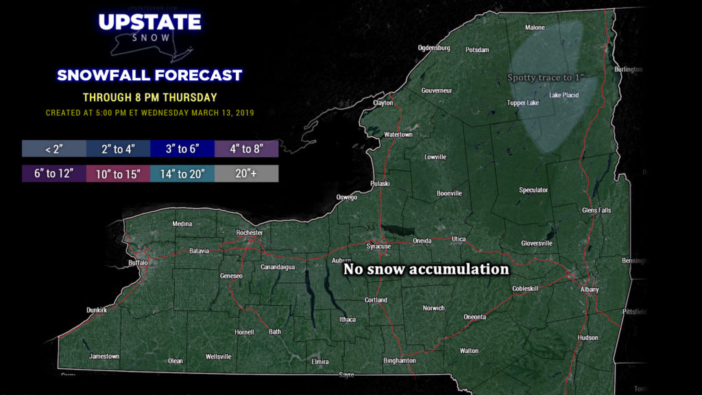
Short and sweet is the upstate for tonight (well, more bitter than sweet). Obviously, no new snow accumulation is expected through Thursday evening… HOWEVER… some rain and snow showers are possible tomorrow across the North County, and some places may get a slushy inch of snow. That’s it.
BIG warmup on tap for everyone else tomorrow into Friday. There are no wholescale changes in the scope and evolution of a MASSIVE storm system which will lift northeastward through the Great Lakes and then into Ontario and Quebec. Temperatures break out into the 50s and 60s for much of the Upstate tomorrow. A fairly potent cold front will cross the area Friday, with temperatures falling across the western part of the state, but highs jumping back into the 60s (maybe some areas touching 70) ahead of the front.
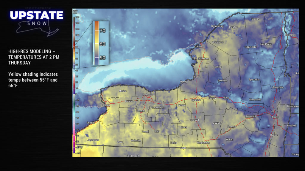
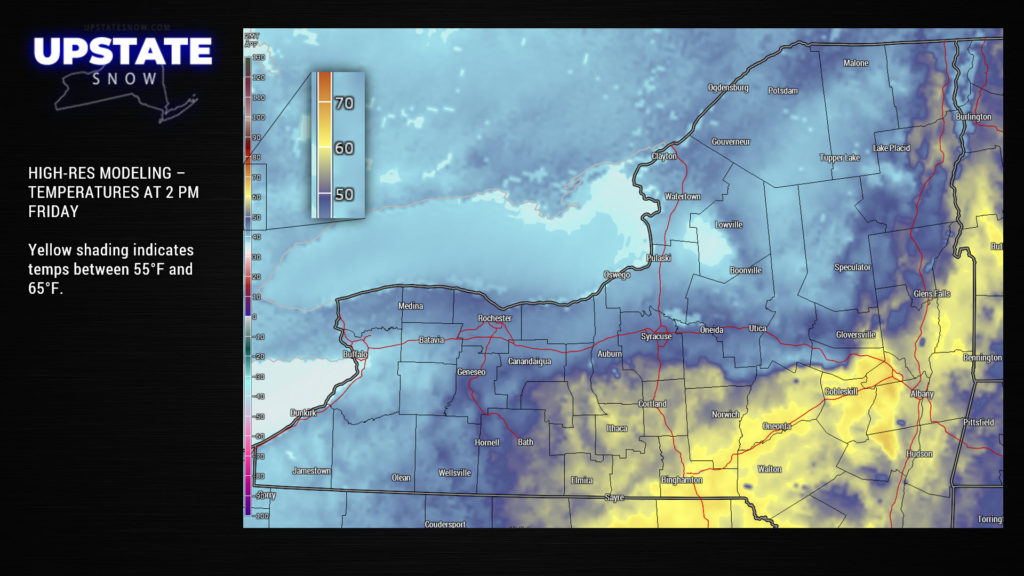
The latest high-res guidance keeps us dry into early Friday morning before the cold front starts to enter the picture. The timing is the key with this front…. there will be showers along and ahead of the front, probably some local downpours, for much of western NY. As the front works its way across the state it will encounter the warmer air mass… in short, don’t be surprised to hear a rumble or two of thunder.
Temps fall behind the front. Several little “shortwaves” (you could call them frontal boundaries) will drop across the area… the first one later Friday afternoon. This brings more scattered rain showers… and as colder air starts to push into the state… snow showers to western and central NY.
A second “shortwave” moves through, firmly establishes a northwest flow of much colder air, makes things somewhat windy, and brings in additional wraparound showers… transitioning mainly to snow showers… mainly to areas north of the Thruway and west of I-81 through Saturday. There will be some upsloping along the Tug Hill (along with some lake enhancement) and Chautauqua Ridge, but in all honesty, accumulations will be marginal at best… nothing significant.
The cold northwesterly air flow continues into Sunday, as do scattered snow showers. Modeling wants to bring a weak system through the area Sunday night into Monday with perhaps a few more snow showers. At that point, high pressure builds in and we’re dry into next Wednesday… with a gradual warming trend.
The NWS is looking for a volunteer cooperative observer in or near Lake View, NY, including Hamburg and Angola. This is different from SKYWARN or CoCoRAHS (although you’re encouraged to volunteer for those as well).
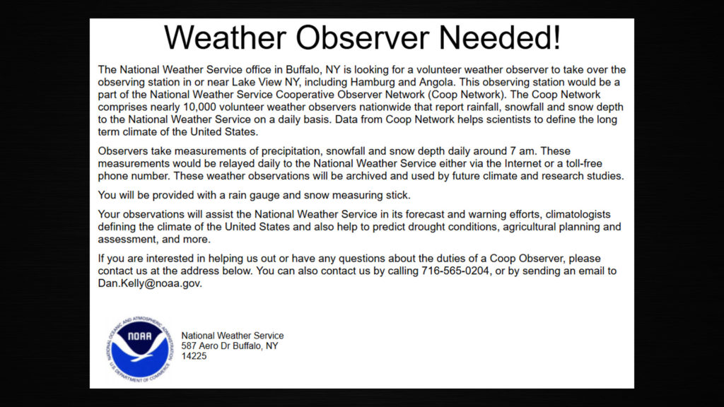
If you, or you know of someone who would be a good fit for this, give NWS Buffalo a shout.


