Good evening…
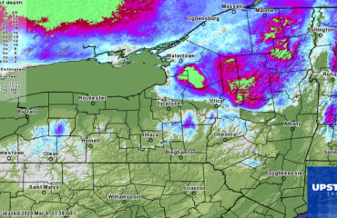
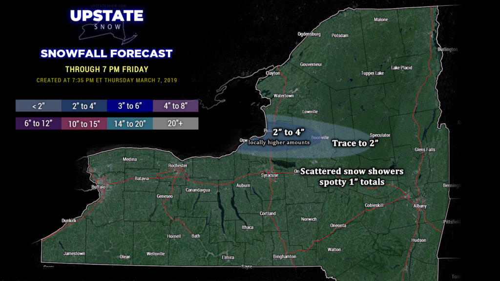
A few lake effect snow showers are still impacting portions of Oswego, southern Lewis, and northern Oneida counties as of this writing (7:25 PM). It’s looking like there will be one final push of some LES coming due-east off of Lake Ontario to affect these areas through the overnight… but with the available moisture disappearing and other factors becoming unfavorable, that’s it for this event. Once again I blended some of the high-res guidance, and then “subtracted by one” (so to speak… because some of the modeling appears to be quite overdone) to come up with our snow map for tonight. The “peak” of this final push should be between about 11 PM and 3 AM or so, with the highest totals over Oswego county, dropping off as you head east into Oneida, southern Lewis, and central Herkimer counties.
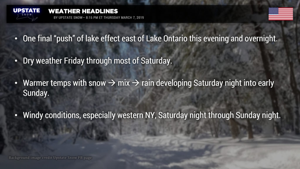
Friday and Saturday are going to be considerably warmer across the state, and with increasing amounts of sunshine (combined with the higher sun angle as we get closer and closer to the equinox), it’s going to “feel” much more springlike, especially on Saturday. I cannot emphasize this enough: Get out and RIDE tomorrow and Saturday.
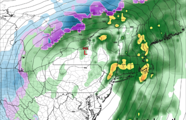
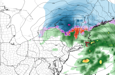
Things get potentially messy Saturday evening. The “big picture” shows a large, deep, “mature” low pressure system moving northeast through the Great Lakes Saturday night. This brings a warm front across the area during the overnight hours. As of right now it looks like precip will start out as a period of snow, but as warmer air starts to push in, we will see a transition to mixed precip, followed by a transition to rain by Sunday morning. Some of the modeling shows the colder air hanging pretty tough… especially the GFS and FV3. These have a fairly prolonged period of snow and then mixed precip over the central and eastern Adirondacks, as well as the Catskills, with precip not transitioning to rain until later Sunday morning… by which time the first round of this should be done. This does seem like a reasonable solution but we’ll have to wait another 24 hours or so to see what the modeling wants to do.
Liquid equivalent precip amounts SHOULD BE fairly light with this event. TOTAL liquid equivalent should be a third to two-thirds of an inch, with the highest amounts just north of the Mohawk Valley (upsloping) and the Chautauqua Ridge (again… upsloping). We’ll see how that plays out.
A dry layer of air moves across much of the state on Sunday… along with warm temperatures across the southern tier, western NY…. essentially everywhere not marked “Adirondacks.” Perhaps not as warm as we thought last evening, but still looking at readings in the upper 40s to lower 50s over much of western NY including the lake plains, etc. The coldest readings — around 40 — will be in the Adirondacks. If we break out into sunshine at all, these numbers go out the window. As of right now, it appears that we’ll see a generally cloudy, damp, drizzly day across much of the state once that front pushes north into Canada.
As the low spins into Ontario it will start to weaken a little bit, but not before bringing some gusty winds to the state, mainly west of I-81. The NWS has posted high wind watches for several counties extending Saturday night through Sunday. No, this isn’t going to be anything like the last wind storm… not looking at hurricane-force winds this time… but downsloping winds off the Chautauqua Ridge and the Tug Hill could gust as high as 45 to 55 mph at times (sustained winds 25 to 35 mph should be the rule).
As the surface low continues to move east-northeast into Quebec, a cold front will drag across the state late Sunday. This will usher in colder air with some light rain showers transitioning to snow showers Sunday night. It’s not looking like it will be cold enough through the atmosphere to bring more lake effect, at least not initially… but modeling shows a secondary little cold front passing west to east early Monday which could enhance snow showers off of the lakes. This continues through the day Monday, especially over the higher elevations… but temperatures look like they’re going to be marginal, and it wouldn’t be surprising to see both lake “effect” (lake enhanced) snow and rain showers across the state.
High pressure takes control again Tuesday through Wednesday, before the next threat for rain returns next Thursday. Colder temperatures Tuesday will warm up quite dramatically by next Thursday…. so we’ll say it again, if you’re going to ride, get out and ride because… tick-tock.
Have a good one, thanks for viewing our site, and show some love for our sponsors as well!


