Good evening,
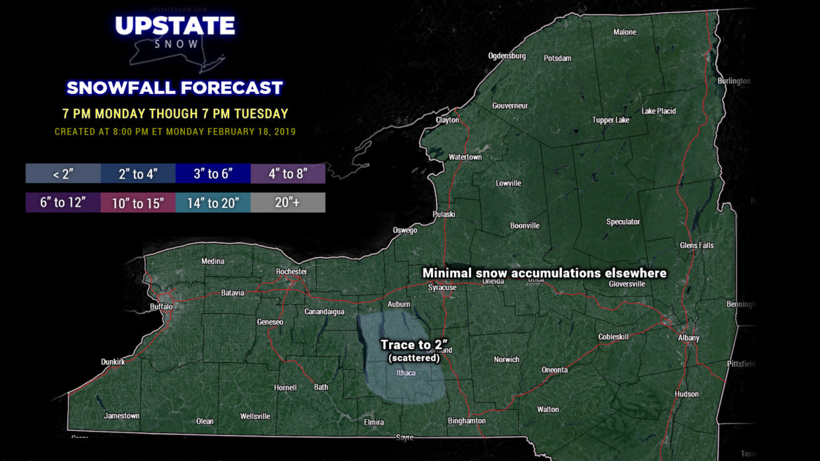
Some minor lake snows are occurring off of the Fingerlakes at the time of this writing. That’s going to come to an end pretty quickly this evening as high pressure builds in… but some scattered areas may pick up an inch or even two inches of new snow. Meh.
High pressure will strengthen over New England during the day Tuesday bringing dry weather and cold temperatures to the state.
Meanwhile, a complex area of low pressure will come together over western Missouri on Wednesday, lifting northward into Wisconsin and then into Ontario by Thursday morning. A second low comes together over or just off the Jersey coast on Thursday as well. A robust flow of moist southerly air will pump northward as we go through the day Wednesday but it will hit this big high pressure cell… which will be shifting eastward into New England. The overrunning precipitation, lifting northward, is initially going to have a hard time breaking through the influence of the high… but it will win the battle Wednesday afternoon or early evening. Light snow develops from south to north late Wednesday into the evening, and then transitions to showers of mixed precipitation (according to modeling) during the overnight hours. Precipitation should transition to all rain before dawn on Thursday. There are differences in the nitty-gritty details — while the operational and ensembles are in fairly decent agreement, the timing of snow / mix / rain and any transitions is up for grabs, as is the intensity of the precip. Modeling INSISTS that the total precip (liquid and liquid equivalent frozen) will be a quarter inch or less. That’s all well and good, but similar storms systems this winter have ended up being more robust… so don’t be surprised if that’s the case again.
Snowfall — if we believe our modeling, go with an inch or two at the most late Wednesday before the transition. After transitioning to mix, some icing is possible, especially in areas that hold on to that cold layer the longest.
As mentioned, we go over to rain for Thursday… but the whole storm system fairly quickly pulls away, such that by Thursday evening we’re looking at some leftover lake effect snow showers as colder air filters into the area. The lake effect is short-lived, though, as an area of high pressure settles in for Friday into Saturday.
Wash, rinse, and repeat. Modeling shows another storm system taking nearly the exact same track later Saturday through Sunday… but this one looks like it might be quite bit stronger… with snow at the onset transitioning to rain, with rain and snow lingering into Monday. Ugh.
Ok that’s it for tonight, have a good one!


