
Good evening…
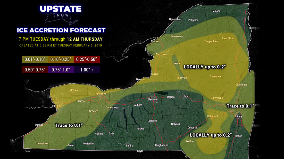
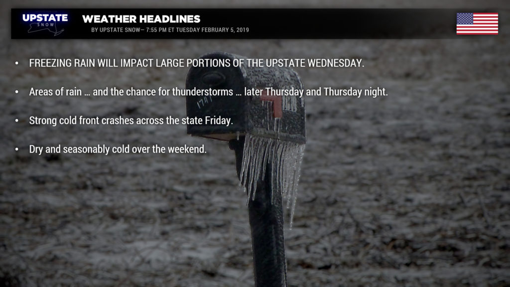
Winter weather advisories are up for a large chunk of the state due to freezing rain expected during the day tomorrow. If you remember last evening’s blog, we talked about the freezing rain potential…. originally we thought it would be farther east, in the eastern ADKs and Catskills. Well, it is… but it looks like cold air that we have in place tonight will hang pretty tough just about everywhere except for the central-southern Tier and the Fingerlakes. It appears that the worst of the icing will be from Buffalo northward along the southern shore of Lake Ontario, and then extending ENE off of Lake Ontario into the Adirondacks… where it’s possible SOME places (not everyone) could see up to 2 tenths of an inch of ice accretion. Other areas, including the Catskills, central and eastern Adirondacks…… generally up to a tenth fo an inch of ice.
ANY freezing rain, however, will have the potential to create some travel headaches Wednesday into Wednesday evening.
Warmer air WILL win the battle by late Wednesday evening and during the overnight… and the Catskills and eastern Dacks will be the last ones to transition to rain showers.
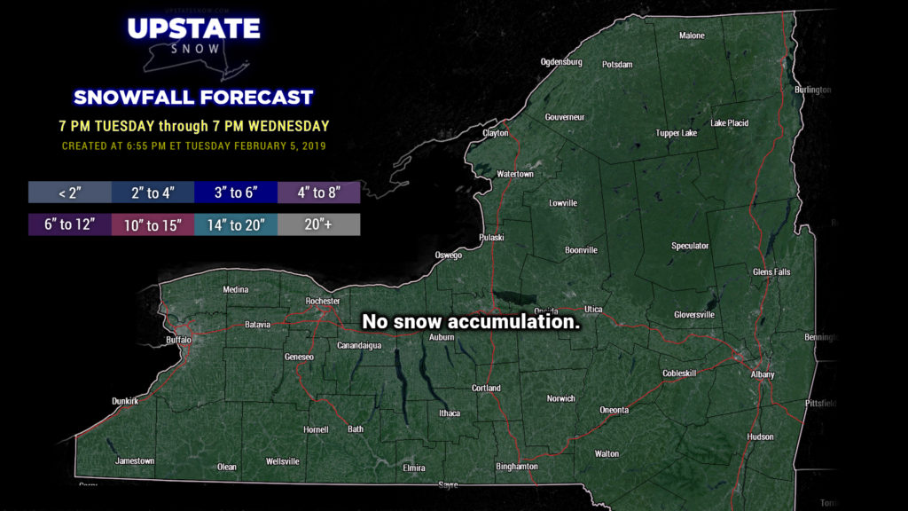
Needless to say… no snow accumulation.
Taking a look at the play-by-play action… tonight should remain quiet and cold. Temperatures will actually fall into the lower and middle 20s for most of the state south of the Thruway, with teens to the north… and possibly even some upper single numbers high in the mountains and along the International Border. That’s important….
…because as we work through Wednesday, a wave of precipitation approaches from the west. For the Buffalo area and south, precip should break out sometime in the mid-morning hours. This wave will quickly progress eastward. High-res modeling says the I-81 area shortly after lunch… and the Capital District, as well as most of the Adirondacks, by mid-afternoon. At the same time, temperatures will be warming up to the west, and by mid-afternoon, a transition to scattered rain showers will occur for areas along and west of I-81. These timings are tricky, and will depend on the strength and depth of the warm air pushing in. We fully expect portions of the Dacks to stay below freezing at the ground surface well into the afternoon.
This is a tricky forecast with high potential travel ramifications… and a pretty high “bust” potential w/ regards to the precip type.
But it’s not going to snow.
We originally thought there’d be a definitive “break” in the action Wednesday night, but at this time the high-res modeling says, hahaha, you’re wrong. The model keeps rain (and probably some freezing rain) showers going through Wednesday evening into the night… with a large slug of all-liquid rain impacting much of eastern and southeastern NY in the pre-dawn hours on Thursday.
Warm air lifts across the state Thursday… all areas go well above freezing, even to the Canadian border. Temps probably into the 50s for western New York. By Thursday afternoon, models show rain… and perhaps some thunderstorms (!!) pushing from southwest to northeast… lasting well into Thursday night. Remember last night we mentioned that with the storms this season, the rainfall has been more than what the modeling had indicated? This will be no exception. The high-res modeling (which, in fairness, does tend to get a little caffeinated with regards to convection), paints an area of some moderate rain moving across the state during the overnight and into Friday morning, ahead of a very strong cold front. Rainfall on the whole should be somewhere around half an inch… to some isolated areas close to one… inch until…….
……this front pushes across the state Friday. At first it appeared that there could be very sudden transition to / burst of snow with the frontal boundary, but now that’s not looking as likely. Cold air will pour across the state and temperatures will fall from west to east through the day. Rain showers will change to snow showers… before ending… for the most part. The “parent low” with this whole storm will strengthen significantly over Ontario; this will bring gusty winds to the state Friday night, especially central to western NY. This will also mean a brief lake effect “event” east of Lake Ontario. Don’t get excited, it’s not going to last long, because surface high pressure will choke that out pretty quickly by Saturday. We’ll be dry and seasonably cold until the next system brings a touch of light snow later Sunday and Sunday night.
Be safe tomorrow if you have any travel plans… allow a LOT of extra travel time. Better to get there late… vs not at all.

