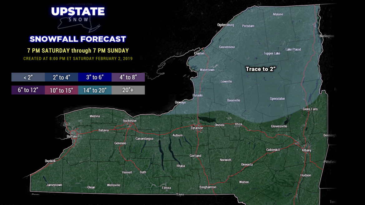
Hi everyone…. tonight’s update is going to be fairly brief. There’s not an awful lot of change to report from last night. A warm front will drop down from the north to about the Thruway, and then lift back north as a warm front on Sunday. Light rain or mixed precipitation… perhaps some light freezing rain as well… will accompany the front, with light snows farther to the north accumulating generally an inch or less. Any other precipitation (ice or rain) doesn’t look like it will be all that much. Temps on Sunday should run generally in the 30s for much of the state, lower 40s west of a line from Rochester to Corning.
Things are quiet across the state until later Monday into Tuesday. A low pressure center will move north through Ontario. This will push a cold front across the state. It looks like this will be a fairly weak system, so while we will have unseasonably warm air, the rain … shouldn’t … be that much of a concern. Looking at the numbers, rainfall / liquid equivalent should be a tenth of an inch or less through Monday night.
By Tuesday night, colder air returns to the state and this will last into Wednesday… before another system looks to follow in the footsteps of the first one. The modeling though still has no measure of sanity when it comes to this. The GFS wants to push a couple of relatively quick moving systems into the Upstate… with the centers going right over the state or perhaps just to our north/west, keeping us in periods of mixed precip or rain. The European wants to go with a deeper area of low pressure that would bring much warmer air and copious rainfall to the area by the end of the week. The GFS and others, again, lean more toward lighter amounts of mixed precip and rain. At this point we’re just going to have to wait for some further model agreement before we can really make much of a call.
In short, like mentioned last night, this coming week features warmer than normal temperatures… and rain chances. 🙁


