Hi everyone!
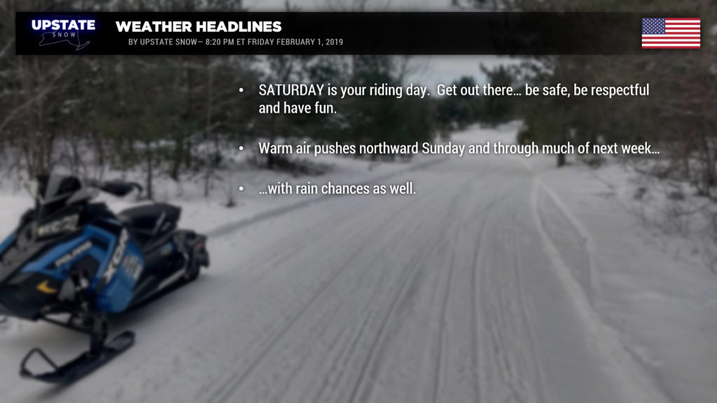
If you’re going to ride… go tomorrow… get out there.
Flood Watch
National Weather Service Buffalo NY
1231 PM EST Fri Feb 1 2019
…Ice Jam Flooding Threat Late Sunday Night through Wednesday Night…
Southerly winds will bring warm air into Western NY early next week. This period of above freezing temperatures will result in snow melt. A period of rainfall will accompany this period of warmer weather and the combination of the two will likely result in rises on area rivers and creeks.
The primary risk for flooding will be due to ice jams. Area creeks and rivers have thick ice in place. Rapid rises in water level can break up this ice, which can then become jammed where there are constrictions in the river or creek channel, such as curves or other restrictions. People living in areas that are prone to ice jam flooding should take the time in advance to prepare for the potential for flooding Monday through Wednesday night.
The combination of snow melt and rain may result in flooding on some area creeks and rivers. Due to the recent lake effect snow event in western NY this past week, liquid amounts in the snow pack average 2 to 4 inches. Ice jams will be possible. Rainfall during the watch will average between a quarter inch to a half inch.
Snow melt and warming temperatures Sunday through next week will soften river ice. Ice jam concerns would then continue through Wednesday night. The most susceptible areas for potential ice jams are the Buffalo Creeks, Cattaraugus Creek, and the upper Allegany River, although they can happen anywhere.
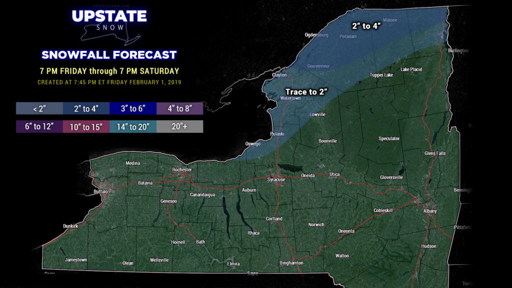
Our cold temperatures are coming to an end and next week doesn’t look very nice with regards to new snow chances. Accumulating snow chances in the immediate-term period, through Saturday, will be north along the Canadian border as an upper level disturbance kind of drops down over that area. The system will drop a couple of inches of snow along the border before retreating back to the north as a warm front.

For Sunday… southwest winds develop and our temperatures start to climb. We detailed the ugly numbers in last night’s report, no need to rub salt into the wound tonight. Just not going to do it. Monday will be the warmest day for areas west of I-81, while Tuesday will be warm for the eastern half of the state. A brief cooldown to near normal for Wednesday before more warm air pushes in ahead of a second system late week.
As for rain chances… we’re looking at some mixed precip Sunday into early Monday, mainly for central and northern sections… and then generalized rain chances ahead of the cold front on Tuesday. Models are coming into more agreement with this… we believe that Tuesday will be fairly rainy (though not an awful “lot” of rain… but persistent rain). The next chance comes Thursday into Friday, and modeling is pretty robust with this one. We have a good bit of time to watch it, but even this far out, there’s some dark greens being painted on the model maps. The modeling is a bit more scatter-brained toward the end of the week; the FV3 demonstrates two systems Thursday into Friday — the first one being a rain/mixed precip, and then a second one on its heels just a tad farther south indicating a mix-to-snow scenario. Again, far enough out in time that we can monitor.
The key point though: If you’re going to ride, get out tomorrow and ride. Because next week… ain’t gonna be fun.


