Good evening…
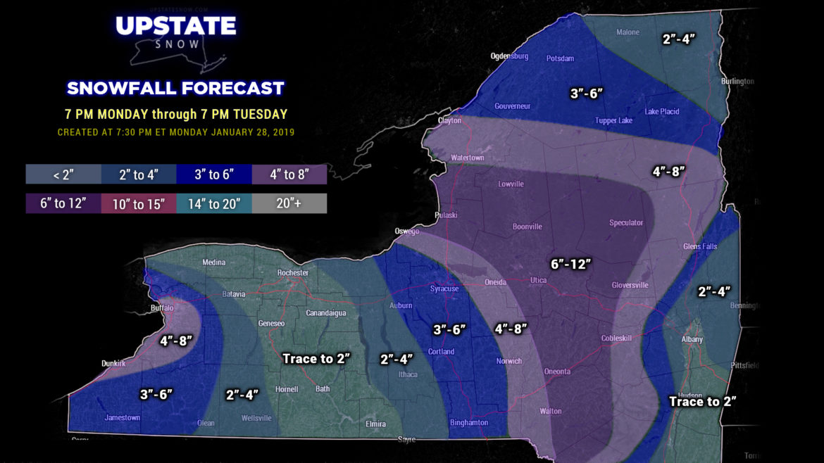
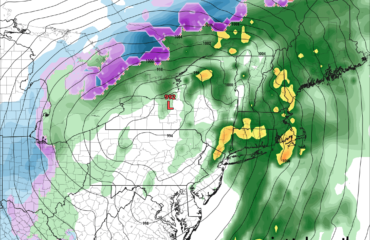
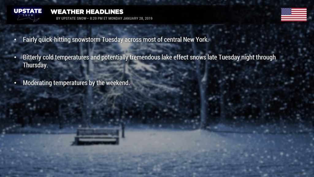
A fairly quick-hitting but decent snowstorm is set for most of Central New York for Tuesday into Tuesday night. An area of low pressure will move northeast through the Great Lakes, lifting a warm front across the state Tuesday morning. This will bring the first round of snow… focused just north of the Thruway. As the low moves into Ontario and Quebec, an Arctic cold front will cross the state. By Tuesday afternoon, this front will pretty much carve the state in half, from roughly Watertown through Binghamton. Low pressure will develop along this front in central Virginia. The low will lift north along the front to a point near New York City by the evening hours. This will focus moderate to heavy snow for much of central and east-central New York. Lighter amounts of snow can be expected in the lower elevations from Albany down the Hudson. The focus of heavy snow can be expected, again, over central New York.
This is a tricky snow forecast and confidence isn’t as high as we’d like, but this is the map we’re going with for tonight.

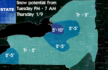
Meanwhile, bitterly cold air will be pouring into the state… especially as a secondary front enters the state late Tuesday night / early Wednesday, and crosses the state during the day. It will be windy and cold with lake effect snow… and a ton of it. Right now the modeling suggests a west-southwest wind flow becomes established and the cannons fire. One interesting caveat, especially from Lake Erie… the bitterly cold temperatures will cause portions of the lake to freeze… but it still looks like a big lake effect snowstorm for Buffalo and the Southtowns Wednesday into Thursday. How much? A bit early to make that call but the feeling is pretty good that tomorrow night’s map will probably max out our color scale from the northtowns southward to the Chautauqua Ridge.
Lake Ontario joins our game just a little bit later, as usual… but look for intense lake effect snows to get going late Tuesday night / early Wednesday… initially north of Watertown, but the models show the band(s) / plume settling off to the south. Wednesday night into Thursday … it is looking likely that the Tug Hill gets absolutely clobbered as the wind flow looks like it will be picture perfect. Again it looks likely that our color scheme will be maxed out when we draw tomorrow night’s map.
Bitterly cold temps Wednesday through Friday. No major changes in model numbers from what we reported last night… temperatures early Thursday morning will be well below zero… and when you add on the winds, we’ll likely be looking at chills in the 30 to 40 below zero range.
Winds diminish and turn a little bit as we get into Friday which will bring an end to the lake effect snows. Then the rollercoaster rides upward as we go into the weekend, with temps pushing into the 40s in many areas by Sunday. Our next system arrives by the end of the weekend… it moves to our west, and with the warmer temps looking more and more likely… this may not end well for us.

