Good evening!
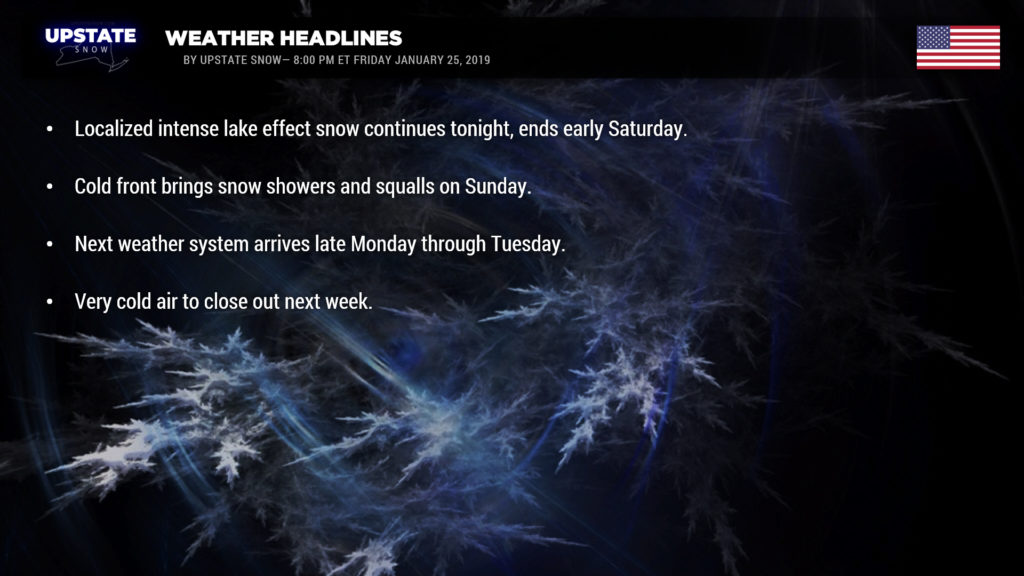
Bands of lake effect snow are pounding portions of Jefferson, Lewis, and Erie counties this evening. A wind flow just south of west (8 o’clock or 8:30 o’clock looking at the hour hand on a clock face) continues to feed these bands. Heavy snow accumulations are confined to a relatively narrow area in these bands and this will continue through the night as all meteorological factors are firmly in position.
As of this writing the Lake Erie band is impacting the Buffalo metro area with heavy snow. This band continues to lift northward, extention almost as far north/east as Rochester. This will likely continue to remain right where it’s at… maybe perhaps drop a tad bit to the south, but that’s doubtful. Eventually high pressure will approach and winds will diminish, cutting off the flow… the band will fall apart after midnight. For snow totals, we went with an additional 6-12 inches for Buffalo and the Southtowns, all the way down to Dunkirk… with a rapid drop-off in totals (to the point we didn’t even bother layering in all the colors on our snow map).
For Lake Ontario snow enthusiasts, the northern portion of the Tug… we have painted in an additional 10-15. That band is going to hang on across Jefferson and Lewis counties pretty much all night long. We’ve put a fairly sizable area in an 6-12, and of course that will vary by location. Another fairly sharp gradient in snowfall as you head farther NE… 6-12 drops rapidly to 3-6, 2-4, and then T-2 farther into the North Country. As the aforementioned area of high pressure builds in, though, this band will also be on life support by time the sun comes up Saturday.
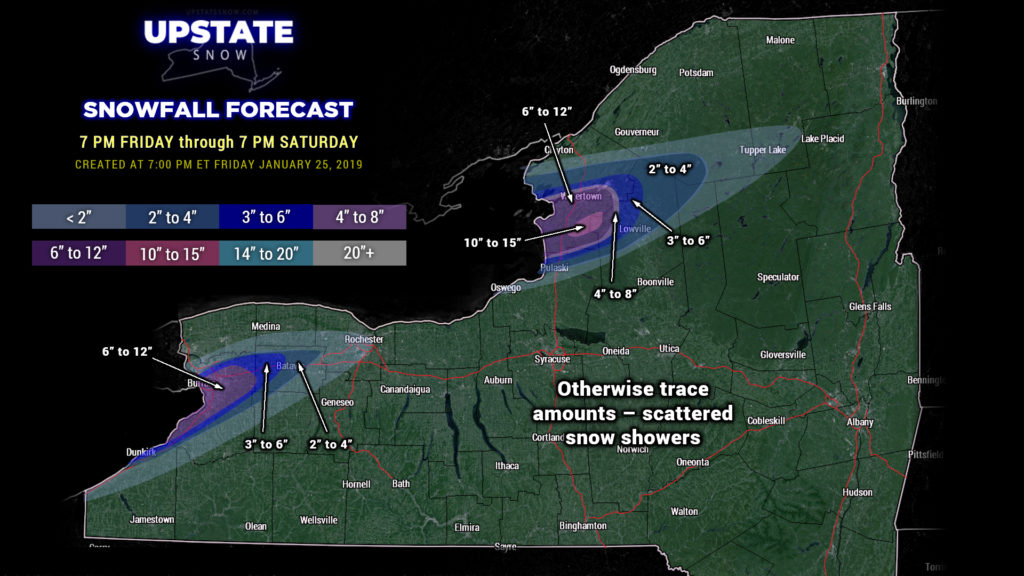
Elsewhere, scattered snow showers are possible across CNY but shouldn’t amount to more than a dusting… maybe an inch here or there.
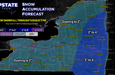
Another disturbance moves across the area on Sunday bringing snow showers… and as a front moves through there may be some fairly intense snow squalls along it… localized whiteout conditions, gusty winds, maybe a rumble of thunder. Overall snow amounts don’t appear to be that impressive, a couple of inches, but if this comes in the space of a few minutes during a sudden squall, it could wreak havoc on the roads.
Our next system takes aim on our area Monday night into Tuesday. A storm system looks to dive southeastward from the Dakotas to Lake Michigan, then turning northeastward again into Quebec. Initially this would bring a period of snow to the area, but as the storm moves to our west…. a brief warm-up would allow a transition to mixed precip early Tuesday. The frontal boundary moves through on Tuesday, a wave of low pressure forms along it, and this could bring a period of snow later Tuesday into Wednesday. The EURO is on board with this, while the other models are a bit less excited about that. We’ll have to “wait and see” on that one.
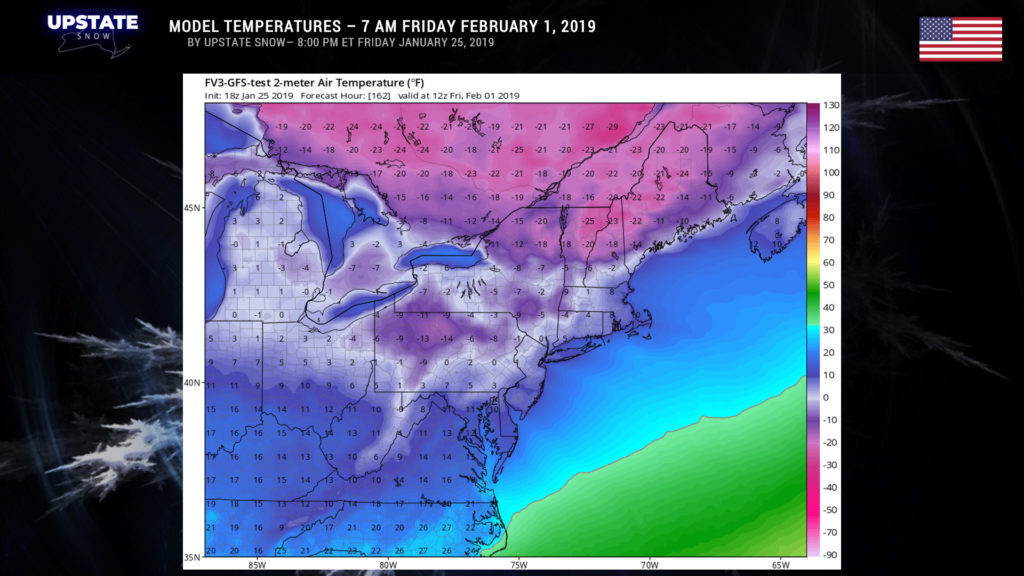
Cold air, snow showers, and some lake effect continue through the end of next week. Models show our temperatures going below zero Thursday and Friday mornings.
That’s it for now, have a great Saturday!


