Hi everyone…
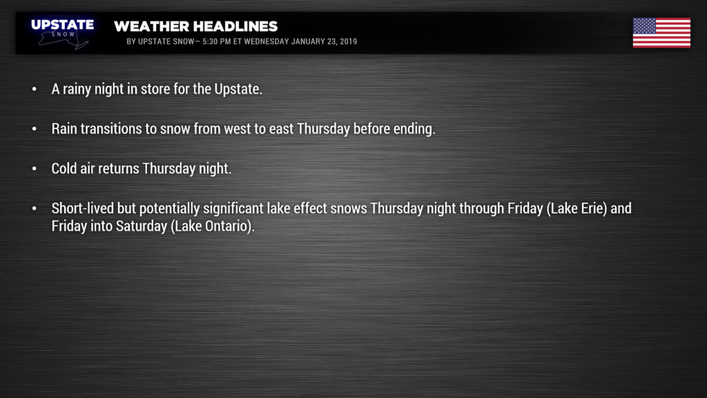
Still some freezing rain occurring in the eastern Adirondacks… but for everyone else.. it’s rain. Low pressure will move into eastern Canada tonight which will cause our temperatures to rise overnight. The trailing cold front will be very slow to move across the region thanks to a second wave of low pressure forming along it… and this will bring more warm, moist air and copious rainfall to portions of the state tonight…. some areas could see an inch to an inch-and-a-half of rain by time it’s all done with early Thursday. This will, unfortunately, cause considerable snowmelt and this could cause some flooding concerns in some areas.
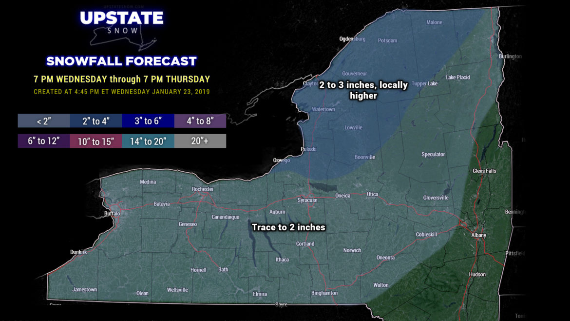
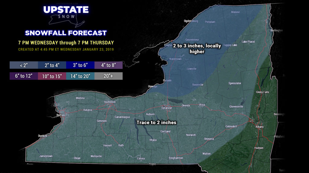
That front will FINALLY push across the state Thursday. Rain will transition to snow from west to east before eventually coming to an end. We could see 2-3 inches in some areas… the Tug and far North Country for instance, while everyone else sees generally a trace to a couple of inches, mostly in the higher elevations.
Cold air really starts to push in on Thursday night… and this time it doesn’t appear to be going anywhere anytime soon. This will also turn our attention………
…… what could be a short-lived but fairly big lake effect snow event. An Arctic front will drop southward over the state on Friday. Conditions look best for significant lake effect snows off of Lake Erie Thursday night into Friday… before the bullseye shifts northward to east of Lake Ontario. Right now one could target the Buffalo Southtowns and points southward, but the modeling isn’t quite where we’d like it to be. Nevertheless, all of the factors will be in place… so areas east of Lake Erie may be in for a pretty good dumping of snow.
As for Lake Ontario — it’ll be a little bit later in the game … thinking Friday. Initially it appears that areas southeast of the lake — southeast of the Tug — are in the initial crosshairs. The band(s) then shift northward into the more “standard” orientation including Oswego, northern Oneida, southern Jefferson, Lewis, into Herkimer counties Friday night into Saturday. Again it’ll likely be a short-lived but fairly robust event……. we’ll be better able to hone down the details by tomorrow night’s report.
Cold air remains in place through the weekend … a weak little disturbance could bring some generalized light snows early Sunday.

