
Hi everyone!
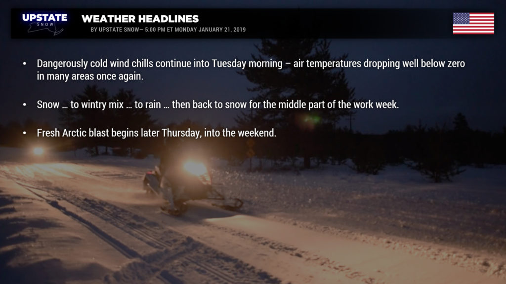
Bitterly cold temperatures/wind chills tonight–wind chill warnings are now extended until Tuesday morning for the North Country, the Mohawk Valley, and the Susquehanna Region. All other areas are under a Wind Chill Advisory until Tuesday morning. Air temperatures tumble to between 10 and 20 below for the North Country, zero to 10 below south of the Thruway.
I wish I had something better to report here with regards to our midweek storm system. There’s no way around this, so lets just rip the Band-Aid off right now. A weak weather system will move from the upper midwest through Michigan by early Wednesday morning. This storm trajectory… well… you know what this means. Warm, moist air starts rocketing northward straight into the Upstate. The Arctic air mass will try to hang tough close to the surface, but an that warm, moist air is going to win. This overrunning will cause precipitation to break out… initially in the form of light snow late Tuesday night transitioning to sleet and freezing rain Wednesday morning… and then yeah… to rain… by around midday on Wednesday. Several inches of snow and sleet are possible before the transition, especially in the North Country. Areas where colder air usually hangs tough—central and eastern ADKs, eastern Catskills—will see the mixed precip/ice hanging on a bit longer, but as of right now it appears everyone goes to rain for Wednesday afternoon. Yeah, I said warm air but “warm” is a relative term. When it’s 25 below zero, upper 30s (above) is considered “warm” and that’s likely what we’ll be looking at here. Wouldn’t be surprised to see a few areas west of a line from Rochester south through Hornell, or along the NY/PA border Elmira to Binghamton, pop to around 40…. but as of right now not looking at widespread 50s or 60s… which is a relief because……..
…..how much rain falls is a question-mark. A cold front will be trying to cross the state late Wednesday, but another ripple of low pressure is expected to blossom along the frontal boundary. This will have two effects… first, it stalls or greatly slows the forward progression of our front, and second, more moisture pumps northward into the area. All told… some areas could get upwards of an inch of rain out of this system. That’ll do a number on our nice new snow pack. The front FINALLY gets through here Wednesday night / early Thursday, and rain transitions to snow across the state from west-to-east… but then comes to an end.
Behind this system, later Thursday into next weekend, the Arctic air makes a return… perhaps not as cold as what we’re getting now, but definitely back into the deep freeze… and with this northwest flow comes additional lake effect snow. The deep freeze will persist into next week.
That’s all for now, take care, thanks for viewing and supporting our site!

