Hi everyone…
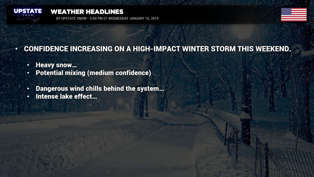
Confidence is increasing on a HIGH-IMPACT WINTER STORM Saturday afternoon through Sunday… followed by intense lake effect snows into next Monday.
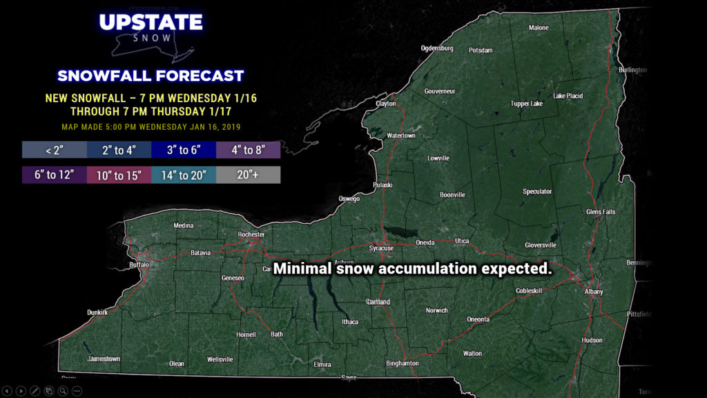
But first… a weak system will bring some light snows to the area Thursday night into Friday. An area of low pressure will move from Lake Erie to the St. Lawrence valley… there’s not an awful lot of moisture for this, but an inch or two of snow is possible across much of the state with this little system.
Now for the main event:
Ok we’ve gone ahead and published a “first call precipitation type” map for this weekend’s storm. CONFIDENCE ON THIS IS ABOUT A 7 OUT OF 10. We ARE NOT going to jump on the bandwagon led by other national agencies (which will not be named) of listing amounts because it’s irresponsible and too soon to make that decision. We may make a “first call” by tomorrow evening’s update. Anyway, as of RIGHT NOW, this writing, 4:15 PM Wednesday, the most of central New York, southern tier, Fingerlakes, most of the Adirondacks, and eastern New York are in line for a high-impact snowstorm. Modeling still indicates that there could be mixing particularly south and east of I-88, with the higher likelihood of mixed precip to freezing rain or rain the farther south and east you go. For western NY and northwestern NY, you are also in line for at least a moderate-impact event… but likely INTENSE lake effect after the main storm (Sunday PM through Monday).
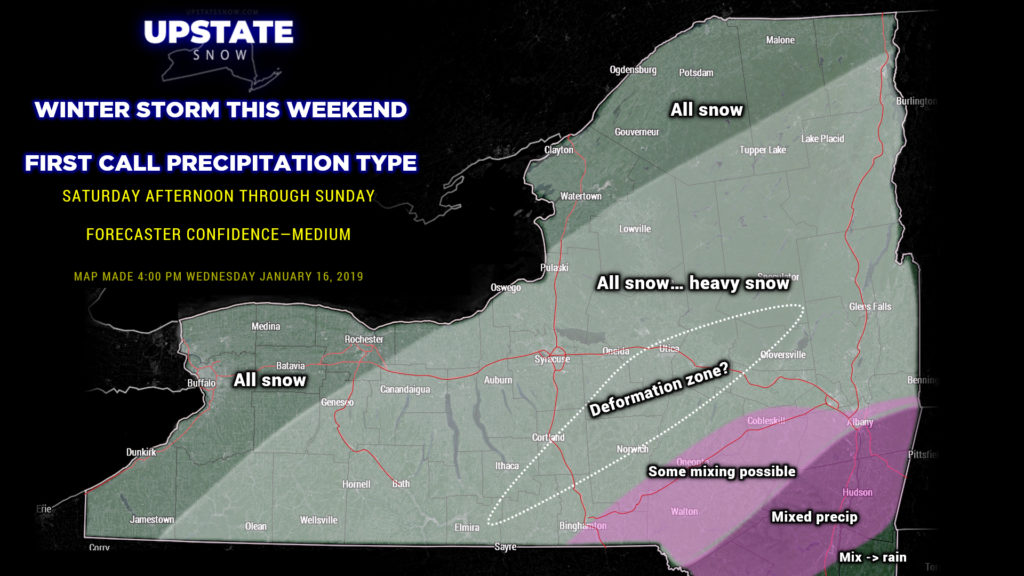
It should be noted that while there is fairly good agreement among the operational models, there are still differences on the exact storm track. This is a large reason why one cannot reasonably make an accumulation forecast.
“But the app on my phone says…..” We are not really concerned about or interested in what the app says, or what the weather agencies from Pennsylvania or Atlanta say. Any snow accumulation forecast more than 3 days out is a crap-shoot.
As with most Nor’Easters, it is likely that a deformation zone will come together during the peak of the storm, during the overnight hours Saturday night. Very simply put, deformation zones are areas where the atmosphere is being stretched and sheared in different directions. This can enhance temperature changes between 5000 and 18,000 feet (the mid-levels of the atmosphere); it can act as a “frontal boundary” in a way, enhancing rising and sinking air… this gets a steroid shot from a low-level jet stream bringing in additional moisture leading to banding of precipitation… instability… intense snowfall rates… and possibly a few flashes of lightning. They usually form in a position of southwest to northeast, or if you’re looking at a clock face, from 8 o’clock to 1 o’clock, usually far northwest of the storm center. Anyway… where this sets up in this storm is extremely difficult to predict this far out (remember we’re still 3-4 days out from this); prior experience with these would say right through the heart of CNY… but that’s subject to change and much debate.
(Side note—if you’re a science nerd and want to read about deformation zones, click HERE for everything you’ve never wanted to know.)
It can’t possibly be stressed enough that ANY SHIFT IN THE STORM TRACK could result in SIGNIFICANT / SUBSTANTIAL changes in our forecast. Think of the hinge of a gate — when you open a gate, there is very little movement at the hinge, but the movement on the far end of the gate is much greater. This would be the case in our storm this weekend. A shift of 20-30 miles closer to us means a much higher risk of mixed precipitation east of I-81 and south of the Thruway, and the axis of intense snow is pushed farther west in kind. A track shift 20-30 miles farther to the east will cause much less snow to fall over the far north/west sections, and shift the heaviest snows farther south and east.
This won’t be your “typical” Nor’easter. These storms typically bomb out and become a neatly circular storm system. This one doesn’t want to play by the rules, and may become a bit more “stretched out,” or elongated from SSW to NNE or SW to NE. That is yet another reason we’re not going to lock in a snow amount… and another reason to knock the “confidence score” on our map down to a 7.
As the storm slowly pulls northeast, the lakes become more of a factor as the winds start to shift and pick up in intensity… and temperatures absolutely CRASH on Sunday afternoon…. we will be looking at the coldest temperatures of the winter … with dangerously cold wind chills, along with blowing and drifting snow. The lake effect machines will crank full-throttle, especially Sunday night into Monday, and this may continue into Monday night before high pressure moves over the region.
We’ve been wanting and begging for winter… here it is!


