Good evening!
First off, real quick, a Winter Weather Advisory is up for some areas of freezing drizzle east of Lake Ontario. This threat will end later this evening. Any activity is so light that it’s not even showing up on radar… but there may be a few patches of ice on the road, so just watch out if you have to go anywhere.
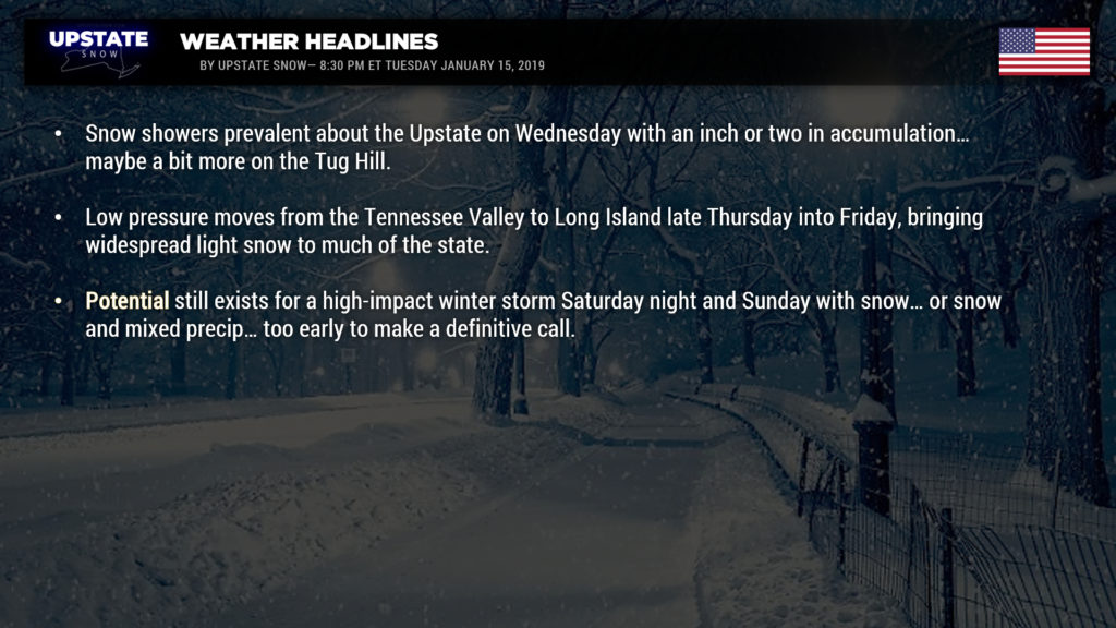
A cold front will drop across the state tomorrow and this will bring some snow showers to the Upstate — not much, an inch or two for most areas.
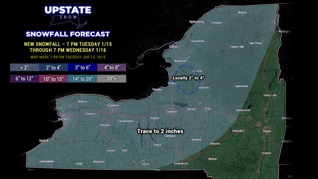
A little area of low pressure will move south of the area Thursday into Friday bringing a widespread light snow… especially south of the Thruway… and we could be looking at a couple inches of snow from this as well.
But all of that pales in comparison to what could be coming Saturday afternoon through Sunday. We’re still not going to go making any predictions on “amounts” because it’s too soon. I saw some other social media posts amounts like 12-24″ snowfall… nobody with any sort of legitimacy can make that kind of call 5 days out. That may very well end up being the case in some areas–it is certainly a possibility–but as today’s model runs have shown, that might not be the case. Some of today’s runs have shifted the low center farther north and west, bringing the threat for mixed precip and/or even rain closer to CNY, with heavier snows shifted westward into western NY. Some of the runs keep the storm center just offshore. It’s really going to boil down to that — where the low center goes. Now as far as timing goes, all of the modeling points to late Saturday afternoon through a good portion of Sunday.
Behind our storm system, temperatures absolutely plummet… modeling implies that temps fall into the single digits across much of the Upstate during Sunday afternoon. Winds pick up considerably later on Sunday as well.
This does have the potential to be a high-impact winter storm across the Upstate. From a snow standpoint, that’s awesome, especially west of I-81 and north of the Thruway… but again, and we can’t reiterate this enough, it is far too soon to make ANY kind of call on snow or ice amounts.
As we go into next Monday and Tuesday, strong northwest winds and really cold temperatures means lake effect snow… possibly a lot of it. Longer-range modeling hints at another coastal storm in the Wednesday-Thursday timeframe (January 23-24), but that’s kind of window-shopping at this point.


