Good evening!
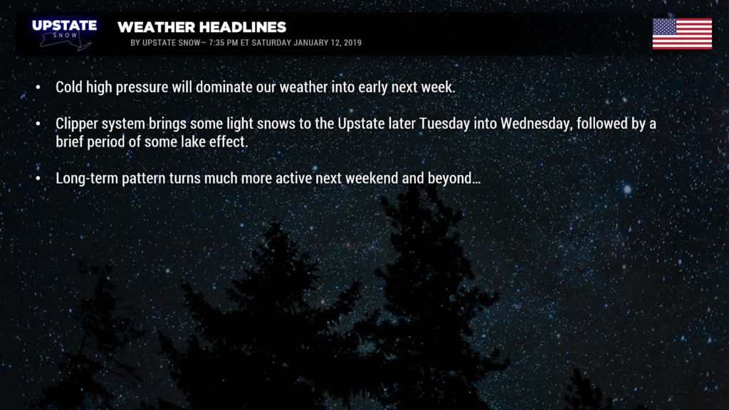
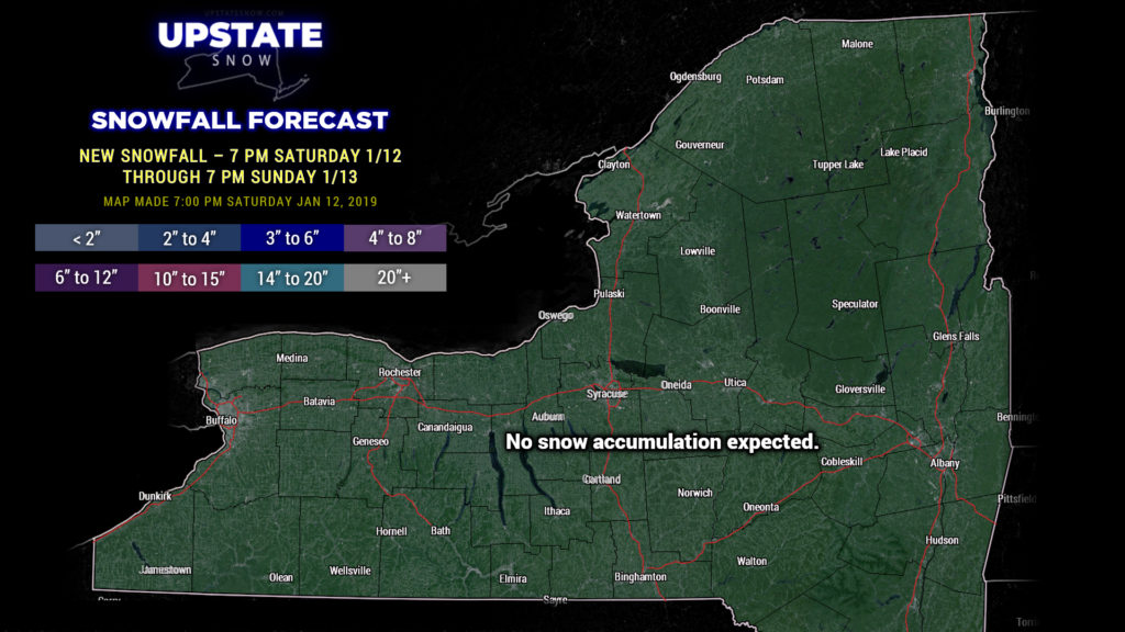
Really hard-pressed to find anything to talk about this evening. High pressure will keep dry weather and seasonably cold temperatures over the Upstate through at least Tuesday morning. A storm system in the Tennessee Valley will move east and off the coast by Sunday afternoon… the NY/PA border might possibly perhaps maybe have a few snow flurries out of this.
A really unusually prolonged quiet weather pattern. At least it’ll be cold — we won’t be looking at any big warm-ups or anything along those lines.
Our next weather system is a weak clipper that will dive southward through Ontario, drag a cold front across the state, which will kick off some snow showers, followed by some lake effect later Tuesday through Wednesday.
Quiet weather with seasonable temps look to be the rule to close out the end of the week… temps maybe a smidge above normal. No crazy, unusually warm temps, nothing like that.
Longer term… models still point to things becoming more active by next weekend and beyond… starting with “something” on the east coast Saturday-Sunday. Still way too far out in time to speculate on any details… but definitely a trend toward cold… and stormier… conditions. Winter ain’t dead yet, folks.


