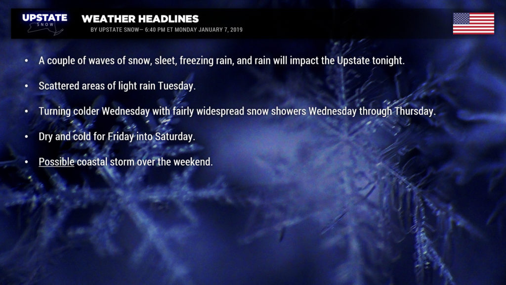
Good evening! Winter Weather Advisories are up for virtually all of New York, save for the extreme southeast corner, and in the Plattsburgh area. These advisories expire at a bunch of different times, ranging from late this evening and early overnight (western NY), to Tuesday morning, to Tuesday afternoon as you head east. These advisories are up for accumulations of snow and light accumulations of ice through Tuesday morning.
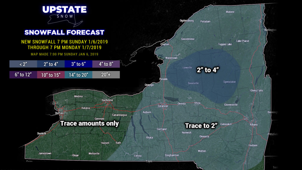
As this report is being written, a band of light snow, sleet, and freezing rain is working west to east across the state. This will continue to push to the east and taper off. The “quiet” period won’t last long as another band of precipitation overspreads the state from west to east after about 9 PM This, too, will be a mix of snow, sleet, freezing rain, and some rain, especially the farther west/south you go. This will all come to an end during the overnight or pre-dawn hours. Accumulations will be light for the most part, with snow accumulations an inch or less with a light coating / glaze of ice. There will be higher snow totals over the North Country as deeper cold air remains in place… 2-4 inches over the ADKs and Tug.
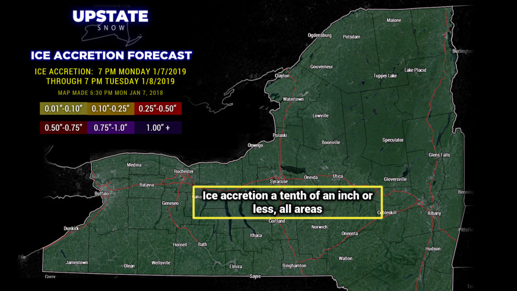
Warmer air is going to push into the state tomorrow though, and we can expect scattered rain showers just about everywhere. There may be some freezing rain that holds tough in the Catskills and Adirondacks, but this gives way to a period of light rain as a warm front lifts to our north.
For Tuesday night a surface low will move across Lake Ontario and bring yet ANOTHER round of precipitation. As the low moves north and east, colder air will push in from the northwest after midnight. So precipitation will start out as rain and transition to snow during the night.
A deep northwesterly flow of cold air will be locked in place Wednesday through Friday. Little pieces of energy will pinwheel down across the area Wednesday and Thursday creating snow showers with some lake enhancement / lake effect. The modeling suggests that some areas, particularly east of Lake Erie and ESPECIALLY east of Lake Ontario into the Adirondacks, get fairly significant snow accumulations through early Friday… a foot or more in some areas. Other areas, particularly the Fingerlakes toward Elmira and Binghamton, won’t see an awful lot, but at least it will be cold, which will help freeze the ground back up a bit. Here at Upstate Snow, we have a “glass half full” kind of philosophy, and we’ll take victories any way we can get them.
Surface high pressure will push into the area on Friday, and this will bring an end to the snow showers.
As for temperatures, once that storm center moves north and east, and the northwest flow develops, it will be delightfully cold. Lows Thursday morning will be in the teens to around 20 just about everywhere… perhaps upper single digits in the Adirondacks. By Friday morning, we’re below zero in the Adirondacks… perhaps even double-digits below zero in some areas… with single digits and teens just about everywhere else. This trend will continue on Saturday morning as well… double-digits below zero up north, single digits for the Mohawk Valley, Susequehanna Region and Catskills, to the lower teens Fingerlakes-west. Daytime highs on Thursday will range from the lower 20s in the Adirondacks to the mid 20s nearly everywhere else, except around 30 for the Hudson Valley. Friday will be a very cold day, with highs just peeking above zero in the North Country, lower to middle teens just about everywhere else. Temps should continue to remain BELOW FREEZING through the weekend. And THAT… is good.
Now as we get into the weekend things COULD get very interesting. Longer-range models want to put low pressure off the coast late Saturday or Sunday. There is ZERO, and I mean ZERO model agreement on the exact placement of this low, but they all do agree that low pressure lifts northward from the Carolinas. The Canadian model puts a 975-mb low just east of Cape Cod by late Sunday night. It’s all mere window-shopping (or model-shopping) at this point. Since there’s not much model agreement, we’re just going to watch it carefully … for the CHANCE of synoptic (in other words, “for real”) snow across portions of the Upstate….
Have a good one, thanks for your support!


