Good evening once again…
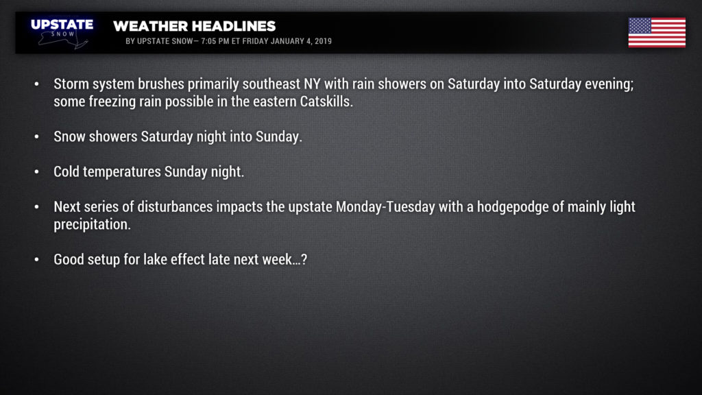
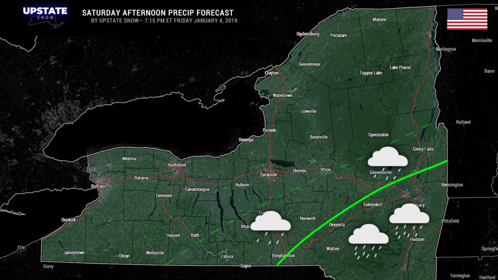
No major changes in our forecast for the weekend. Low pressure moving off the Jersey coast tomorrow afternoon will throw some rain into southeast NY. The high-resolution modeling is a little less robust than the global models; the high-res stays pretty far south and east while the globals fling precip from perhaps Lake George through Utica, Ithaca, and Corning; we’re going to split the difference and use I-88 as the cutoff point. A scattered shower or two can’t be ruled out over the Fingerlakes as well during the early afternoon.
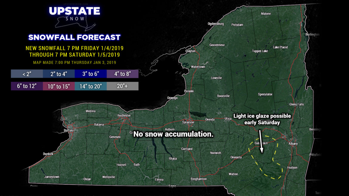
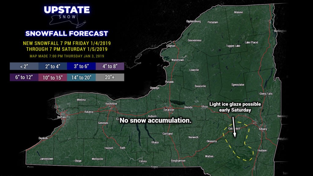
Of note, a Winter Weather Advisory is up for a small portion of the eastern Catskills for a period of freezing rain… a glaze of ice is possible between 3 AM and noon on Saturday.
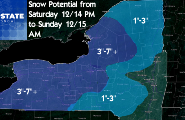
As the system pulls away, a little clipper to our north zips by and gets absorbed by the main low well off the coast of Maine. Our winds turn northwesterly and colder air pushes into the state. Snow showers should result Saturday night into Sunday. Not much… an inch or less for most areas, maybe a couple of inches over the Tug and in the central Adirondacks.
Cold night on tap for Sunday night as strong high pressure builds in. This will allow temps to drop to around or just below zero for most of the Adirondacks by early Monday morning, with teens pretty widespread everywhere else… even in areas where yesterday we thought would stay considerably milder. Temps rebound into the mid 30s for most of WNY, mid and upper 20s for the Catskills and Susquehanna region, lower to middle 20s for the Adirondacks.
The next item up for bids is a second storm system slated to impact the upstate beginning on Monday afternoon. Lots of overrunning moisture waaaay ahead of the surface low (the surface low will be over the northern Great Lakes). It’s a very complicated forecast as we will have some warmer air trying to move into the state from the southwest. At the same time, though, precipitation will be cooling the atmosphere in which it falls… initially the precip will evaporate long before it reaches the surface (known as “evaporational cooling”). Eventually the “column” (think a 3D box of air and weather elements) temperature will fall to dewpoint and precip will thus survive the journey to the surface. At any rate, with that big ol’ Canadian high pressure cell still off to our north/east, this is likely to be a mixed precipitation type scenario for Monday night into Tuesday. This is not a strong system, so there won’t be a LOT of precipitation with this.
On Tuesday that surface low we just mentioned moves to the St. Lawrence and dissipates. However, it will bring warmer air in for much of the state south of the Thruway; any precipitation that falls will be in the form of rain, with mixed precipitation or perhaps some light snow in the North Country. Meanwhile, a second low comes together, riding a disturbance east-southeast from the Great Lakes. As this spins down across the Adirondacks it will bring more precipitation… starting out as light rain and then changing to snow Tuesday night. Again, not a LOT in the way of precip with this system.
Models show deep troughing setting up over the northeast by the middle of next week with much, MUCH colder air in place. A nice northwest flow over the lakes would get the lake machines cranking next Wednesday and Thursday.
Have a great evening and weekend!

