Good evening once again…
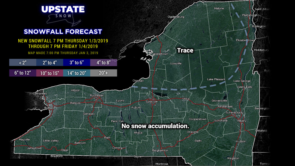
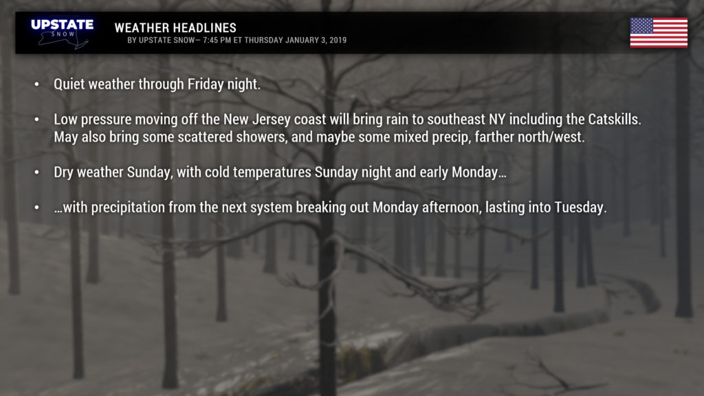
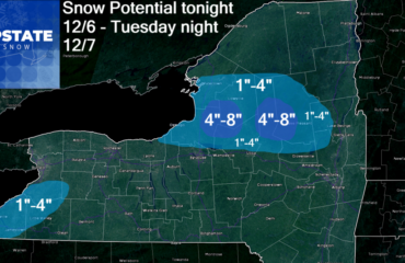
Very quiet weather conditions will dominate the Upstate through Friday, aside from a few snow showers in the Adirondacks tonight. Unfortunately warm air starts pushing northward once again and highs tomorrow will run… once again… above seasonal norms. Highs in the upper 40s to near 50 for areas west of I-81, generally lower 40s from I-81 east and south of the Thruway, with mid to upper 30s in the ADKs. Similar numbers, although a touch cooler for Saturday.
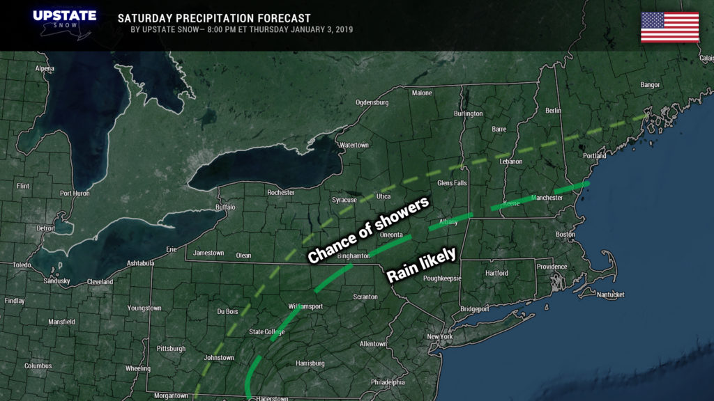
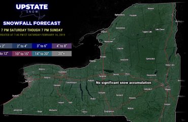
Speaking of Saturday, that’s when our next system will pay portions of the Upstate a visit. Modeling has trended farther north/west with our system; low pressure moving from northeast Tennessee tomorrow evening to just off the New Jersey coast by Saturday afternoon. Now this kind of storm track in the middle of winter would bring a healthy snowfall to the Upstate, but not THIS winter. True cold air has retreated back into Canada thanks to high pressure ridging from the Rockies through the southern Plains. A small, weak disturbance will dive east/southeast through Ontario and Quebec, and “catch up” with the departing coastal storm (with dramatic strengthening of the low), but by then it’s too little, too late.
We think we’re going to stick with our guns here and illustrate the primary area for rain will be along and south of the I-88 line, but can’t rule out showers farther north and west. There is also a question of how much cold air will be stuck at the surface in some areas of the northern Catskills, and some of the modeling hints at some freezing rain at the onset. Meh, it doesn’t really matter in the grand scheme of things.
Some colder air will spin in Saturday night as that secondary system up north gets sucked into our main low off the coast. I would expect some scattered snow showers to come in Saturday night and early Sunday as colder air flows over the lakes… but the magnitude of cold air is up for debate, and this may be a situation of lake effect rain and snow showers. Either way not what we want to see.
Now it DOES get cold Sunday night, especially in the North Country — lows in the zero to 5 above range, very quickly moderating to the lower and middle 20s as you head south and west. This is significant because our next system arrives during the day on Monday.
Low pressure is expected to get its act together along the Illinois/Wisconsin line Monday afternoon. Abundant moisture will pump northward ahead of this low and cause precipitation to break out across the state. This is where these early morning temperatures come into play. Now it’s still really too early to pin down the details but this could be a situation of a period of snow Monday afternoon, transitioning from southwest to northeast to a messy mix for a good portion of Monday evening/night, and then to rain on Tuesday, ending Tuesday afternoon. Interestingly the models “cut off” this low over the Canadian Maritimes. This would bring a steady northwest flow across the area into the middle of next week with colder temperatures and lake effect snows. We’ll see.

