Good evening everyone and Happy New Year!
There’s really not much to talk about tonight… believe me I really do wish there were better things to say other than “it is what it is.”
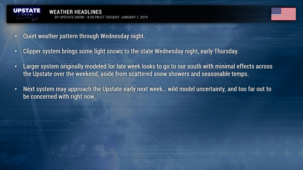
Very light snow showers over some areas will end tonight. Cold temperatures… isn’t that a nice change of pace… will grace the Upstate through Wednesday night. Look for temperatures in the lower 20s over much of the state tomorrow morning, with teens in the Adirondacks. Afternoon highs will range from around 30 or in the lower 30s for western NY, to the 20s just about everywhere else, with teens in the ADKs. Wednesday night/Thursday morning some areas of the North Country may flirt with or dip slightly below zero, with teens and lower 20s elsewhere. That’s nice.
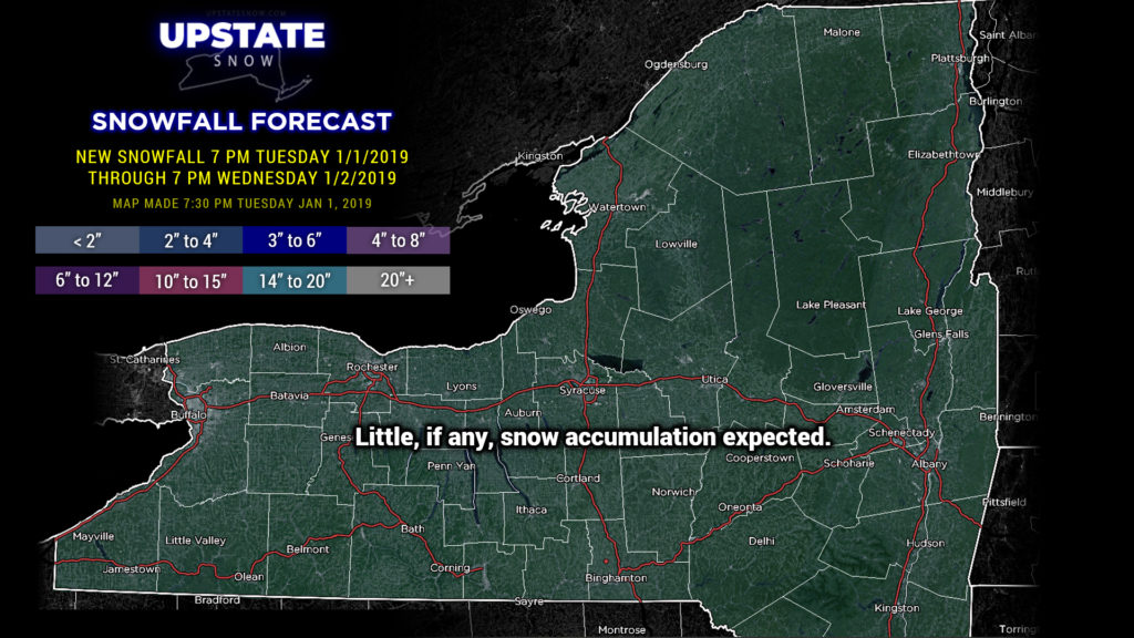
A clipper system will zip through late Wednesday night into early Thursday and may drop a couple of inches of snow across the Upstate. Heavier rains with another strong low pressure system stay well off to our south.
Modeling has REALLY slammed on the brakes and gone south on what was going to be a fairly strong system in our area by the end of the week. High pressure ridging to our north keeps a northwest flow of cold (seasonable) air over the state, and a slug of heavy rain to our south.
Question-marks abound once again as we go into the first part of next week as modeling doesn’t have a good handle on the NEXT system to spin across the country. The GFS brings it on a similar path as the last several systems, while the FV3 version of GFS says naah, and keeps the northeast in a cold northerly flow with some snow showers. The others are all over the place as well. At any rate, we’re too far out in time to really worry about it right now anyway… and at this point… ANY cold temperatures and snow would be most welcome.
Have a good one, thanks for continuing to support the site… and keep positive. We have to.


